


Louisiana Tech Irrigation Pond Reservoir Report
Last Updated: April 23, 2026
°F
°F
mph
Wind
%
Humidity
The Louisiana Tech Irrigation Pond, located in Ruston, Louisiana, was completed in 2008 by The Riley Company and serves as a crucial water resource for the state.
Summary
This earth dam structure stands at a height of 13 feet and has a hydraulic height of 8 feet, with a storage capacity of 50 acre-feet. The pond covers a surface area of 6 acres and is primarily used for irrigation purposes, with a drainage area of 0.31 square miles.
Managed by the Louisiana Department of Transportation and Development, this low-hazard pond has been assessed to be in fair condition as of May 2018. With a moderate risk assessment rating of 3, the pond is regularly inspected every five years to ensure its safety and functionality. Despite being uncontrolled, the spillway width of 30 feet allows for a maximum discharge of 900 cubic feet per second, providing essential flood protection for the surrounding area.
The Louisiana Tech Irrigation Pond plays a vital role in supporting agricultural activities in the region, offering a reliable water source for irrigation needs. With its strategic location and efficient design, this pond exemplifies sustainable water management practices and serves as a valuable asset for water resource and climate enthusiasts interested in the intersection of infrastructure, sustainability, and agriculture in Louisiana.
Regional Streamflow Levels
 Saline Bayou Near Lucky
|
18cfs |
 Little Corney Bayou Near Lillie
|
20cfs |
 Dugdemona River Near Joyce
|
36cfs |
 Bayou Lafourche Near Crew Lake
|
51cfs |
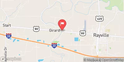 Boeuf River Nr Girard
|
135cfs |
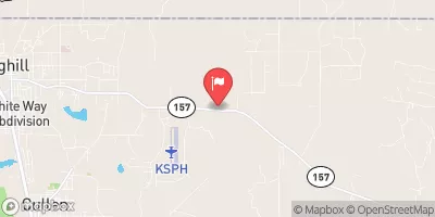 Bayou Dorcheat Near Springhill
|
20cfs |
15-Day Long Term Forecast
Dam Height |
13 |
Hydraulic Height |
8 |
Drainage Area |
0.31 |
Year Completed |
2008 |
Structural Height |
13 |
Nid Storage |
50 |
Foundations |
Soil |
Surface Area |
6 |
Outlet Gates |
None |
River Or Stream |
N/A |
Dam Length |
300 |
Hazard Potential |
Low |
Primary Dam Type |
Earth |
Nid Height |
13 |
Seasonal Comparison
5-Day Hourly Forecast Detail
Dam Data Reference
Condition Assessment
SatisfactoryNo existing or potential dam safety deficiencies are recognized. Acceptable performance is expected under all loading conditions (static, hydrologic, seismic) in accordance with the minimum applicable state or federal regulatory criteria or tolerable risk guidelines.
Fair
No existing dam safety deficiencies are recognized for normal operating conditions. Rare or extreme hydrologic and/or seismic events may result in a dam safety deficiency. Risk may be in the range to take further action. Note: Rare or extreme event is defined by the regulatory agency based on their minimum
Poor A dam safety deficiency is recognized for normal operating conditions which may realistically occur. Remedial action is necessary. POOR may also be used when uncertainties exist as to critical analysis parameters which identify a potential dam safety deficiency. Investigations and studies are necessary.
Unsatisfactory
A dam safety deficiency is recognized that requires immediate or emergency remedial action for problem resolution.
Not Rated
The dam has not been inspected, is not under state or federal jurisdiction, or has been inspected but, for whatever reason, has not been rated.
Not Available
Dams for which the condition assessment is restricted to approved government users.
Hazard Potential Classification
HighDams assigned the high hazard potential classification are those where failure or mis-operation will probably cause loss of human life.
Significant
Dams assigned the significant hazard potential classification are those dams where failure or mis-operation results in no probable loss of human life but can cause economic loss, environment damage, disruption of lifeline facilities, or impact other concerns. Significant hazard potential classification dams are often located in predominantly rural or agricultural areas but could be in areas with population and significant infrastructure.
Low
Dams assigned the low hazard potential classification are those where failure or mis-operation results in no probable loss of human life and low economic and/or environmental losses. Losses are principally limited to the owner's property.
Undetermined
Dams for which a downstream hazard potential has not been designated or is not provided.
Not Available
Dams for which the downstream hazard potential is restricted to approved government users.