
Grindstone-Lost-Muddy Watershed Dam B-4 Reservoir Report
Last Updated: December 5, 2025
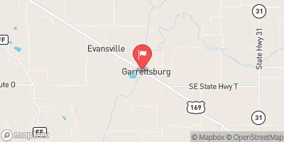
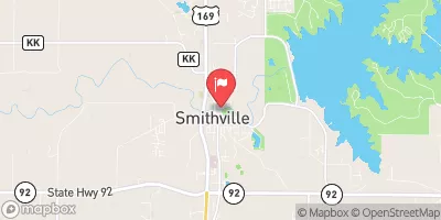
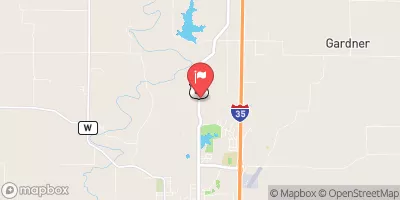
Grindstone-Lost-Muddy Watershed Dam B-4, located in DeKalb, Missouri, is a key flood risk reduction structure managed by the local government.
°F
°F
mph
Wind
%
Humidity
Summary
Built in 1979 by USDA NRCS, this earth dam stands at a height of 28 feet and spans 640 feet in length. With a storage capacity of 428 acre-feet and a drainage area of 12.8 square miles, this dam plays a crucial role in mitigating flood risks in the area.
The dam, situated on TR-WEST FORK LOST CREEK, features an uncontrolled spillway with a width of 45 feet and a maximum discharge capacity of 545 cubic feet per second. Despite being classified as having a low hazard potential, it is rated as having a moderate risk level. The condition assessment of the dam is currently listed as "Not Rated," with no recent inspection data available. While it does not fall under the jurisdiction of the state regulatory agency, this dam continues to serve its primary purpose of flood risk reduction effectively.
Overall, Grindstone-Lost-Muddy Watershed Dam B-4 stands as a vital infrastructure for the community of PATTONSBURG, safeguarding the surrounding areas from potential flooding events. With its strategic location and design, this dam serves as a testament to effective water resource management and climate resilience efforts in Missouri. As water resource and climate enthusiasts, it is important to recognize and appreciate the role of such structures in ensuring the safety and well-being of local populations in the face of changing environmental conditions.
Year Completed |
1979 |
Dam Length |
640 |
Dam Height |
28 |
River Or Stream |
TR-WEST FORK LOST CREEK |
Primary Dam Type |
Earth |
Surface Area |
2 |
Hydraulic Height |
28 |
Drainage Area |
12.8 |
Nid Storage |
428 |
Structural Height |
28 |
Outlet Gates |
None |
Hazard Potential |
Low |
Foundations |
Soil |
Nid Height |
28 |
Seasonal Comparison
Weather Forecast
Nearby Streamflow Levels
Dam Data Reference
Condition Assessment
SatisfactoryNo existing or potential dam safety deficiencies are recognized. Acceptable performance is expected under all loading conditions (static, hydrologic, seismic) in accordance with the minimum applicable state or federal regulatory criteria or tolerable risk guidelines.
Fair
No existing dam safety deficiencies are recognized for normal operating conditions. Rare or extreme hydrologic and/or seismic events may result in a dam safety deficiency. Risk may be in the range to take further action. Note: Rare or extreme event is defined by the regulatory agency based on their minimum
Poor A dam safety deficiency is recognized for normal operating conditions which may realistically occur. Remedial action is necessary. POOR may also be used when uncertainties exist as to critical analysis parameters which identify a potential dam safety deficiency. Investigations and studies are necessary.
Unsatisfactory
A dam safety deficiency is recognized that requires immediate or emergency remedial action for problem resolution.
Not Rated
The dam has not been inspected, is not under state or federal jurisdiction, or has been inspected but, for whatever reason, has not been rated.
Not Available
Dams for which the condition assessment is restricted to approved government users.
Hazard Potential Classification
HighDams assigned the high hazard potential classification are those where failure or mis-operation will probably cause loss of human life.
Significant
Dams assigned the significant hazard potential classification are those dams where failure or mis-operation results in no probable loss of human life but can cause economic loss, environment damage, disruption of lifeline facilities, or impact other concerns. Significant hazard potential classification dams are often located in predominantly rural or agricultural areas but could be in areas with population and significant infrastructure.
Low
Dams assigned the low hazard potential classification are those where failure or mis-operation results in no probable loss of human life and low economic and/or environmental losses. Losses are principally limited to the owner's property.
Undetermined
Dams for which a downstream hazard potential has not been designated or is not provided.
Not Available
Dams for which the downstream hazard potential is restricted to approved government users.
 Grindstone-Lost-Muddy Watershed Dam B-4