


Whorrells Millpond Dam Reservoir Report
Last Updated: April 26, 2026
°F
°F
mph
Wind
%
Humidity
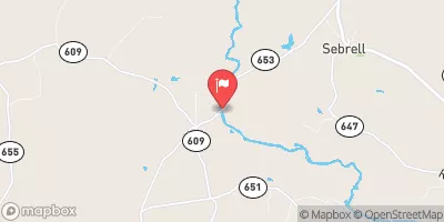
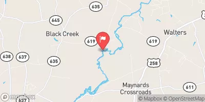
Whorrells Millpond Dam, located in Murfreesboro, North Carolina, is a private earth dam with a primary purpose of recreation.
Summary
Built in 1938, this dam stands at a structural height of 11 feet and has a hydraulic height of 8 feet, creating a reservoir with a maximum storage capacity of 84 acre-feet. With a surface area of 65 acres, the dam on Hares Branch offers a serene setting for outdoor activities such as fishing, boating, and wildlife watching.
Despite being classified as having a low hazard potential, Whorrells Millpond Dam has not been rated for its condition since a 2008 inspection. While the dam is not state-regulated or permitted, it does undergo regular inspections to ensure its safety and functionality. The surrounding area is not at risk of inundation according to available data, and there is no Emergency Action Plan in place. Nevertheless, the dam remains a popular spot for local residents and visitors to enjoy nature and engage in recreational pursuits.
For water resource and climate enthusiasts, Whorrells Millpond Dam presents an interesting case study of a privately owned dam that serves primarily for recreational purposes. As efforts continue to assess and manage the safety of dams across the country, this historical structure provides a glimpse into the intersection of water management, infrastructure development, and outdoor recreation. With its picturesque setting and potential for future risk assessment and management measures, Whorrells Millpond Dam offers a fascinating subject for further exploration and discussion in the realm of water resource and climate studies.
Regional Streamflow Levels


15-Day Long Term Forecast
Year Completed |
1938 |
Dam Length |
275 |
River Or Stream |
Hares Branch |
Primary Dam Type |
Earth |
Surface Area |
65 |
Hydraulic Height |
8 |
Nid Storage |
84 |
Structural Height |
11 |
Hazard Potential |
Low |
Nid Height |
11 |
Seasonal Comparison
5-Day Hourly Forecast Detail
Dam Data Reference
Condition Assessment
SatisfactoryNo existing or potential dam safety deficiencies are recognized. Acceptable performance is expected under all loading conditions (static, hydrologic, seismic) in accordance with the minimum applicable state or federal regulatory criteria or tolerable risk guidelines.
Fair
No existing dam safety deficiencies are recognized for normal operating conditions. Rare or extreme hydrologic and/or seismic events may result in a dam safety deficiency. Risk may be in the range to take further action. Note: Rare or extreme event is defined by the regulatory agency based on their minimum
Poor A dam safety deficiency is recognized for normal operating conditions which may realistically occur. Remedial action is necessary. POOR may also be used when uncertainties exist as to critical analysis parameters which identify a potential dam safety deficiency. Investigations and studies are necessary.
Unsatisfactory
A dam safety deficiency is recognized that requires immediate or emergency remedial action for problem resolution.
Not Rated
The dam has not been inspected, is not under state or federal jurisdiction, or has been inspected but, for whatever reason, has not been rated.
Not Available
Dams for which the condition assessment is restricted to approved government users.
Hazard Potential Classification
HighDams assigned the high hazard potential classification are those where failure or mis-operation will probably cause loss of human life.
Significant
Dams assigned the significant hazard potential classification are those dams where failure or mis-operation results in no probable loss of human life but can cause economic loss, environment damage, disruption of lifeline facilities, or impact other concerns. Significant hazard potential classification dams are often located in predominantly rural or agricultural areas but could be in areas with population and significant infrastructure.
Low
Dams assigned the low hazard potential classification are those where failure or mis-operation results in no probable loss of human life and low economic and/or environmental losses. Losses are principally limited to the owner's property.
Undetermined
Dams for which a downstream hazard potential has not been designated or is not provided.
Not Available
Dams for which the downstream hazard potential is restricted to approved government users.