Dunkard Fork Near Majorsville Reservoir Report
Last Updated: February 22, 2026
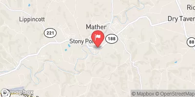
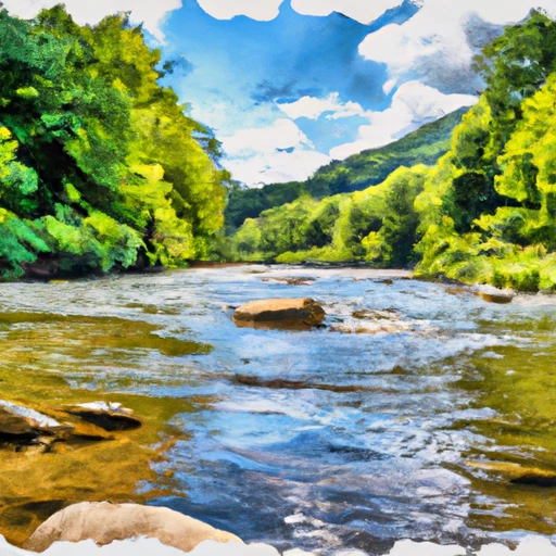
Dunkard Fork is a stream located near Majorsville, WV in West Virginia.
Summary
Historically, the area has been used for farming and logging. The hydrology of the area is influenced by the Dunkard Fork Watershed, which is fed by several tributaries and has a significant impact on the water quality of the Monongahela River. The surface flow of Dunkard Fork is intermittent and largely dependent on precipitation events, while snowpack in the region can also contribute to stream flow. The area is used for recreational activities such as fishing and hiking, and there are also some agricultural uses in the region. Dunkard Fork and its surrounding area are important for local ecosystems and provide valuable natural resources for the community.
°F
°F
mph
Wind
%
Humidity
15-Day Weather Outlook
Reservoir Details
| Gage Height, Ft 24hr Change | -0.44% |
| Percent of Normal | 98% |
| Minimum |
37.12 ft
2022-12-23 |
| Maximum |
71.79 ft
2024-04-04 |
| Average | 42 ft |
Seasonal Comparison
Gage Height, Ft Levels
5-Day Hourly Forecast Detail
Nearby Streamflow Levels
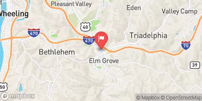 Wheeling Creek At Elm Grove
|
653cfs |
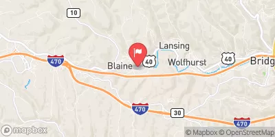 Wheeling Creek Below Blaine Oh
|
118cfs |
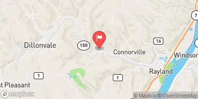 Short Creek Near Dillonvale Oh
|
133cfs |
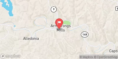 Captina Cr. At S.R. 148 At Armstrongs Mills
|
202cfs |
 South Fork Tenmile Creek At Jefferson
|
196cfs |
 Ohio River Above Sardis
|
124000cfs |
Dam Data Reference
Condition Assessment
SatisfactoryNo existing or potential dam safety deficiencies are recognized. Acceptable performance is expected under all loading conditions (static, hydrologic, seismic) in accordance with the minimum applicable state or federal regulatory criteria or tolerable risk guidelines.
Fair
No existing dam safety deficiencies are recognized for normal operating conditions. Rare or extreme hydrologic and/or seismic events may result in a dam safety deficiency. Risk may be in the range to take further action. Note: Rare or extreme event is defined by the regulatory agency based on their minimum
Poor A dam safety deficiency is recognized for normal operating conditions which may realistically occur. Remedial action is necessary. POOR may also be used when uncertainties exist as to critical analysis parameters which identify a potential dam safety deficiency. Investigations and studies are necessary.
Unsatisfactory
A dam safety deficiency is recognized that requires immediate or emergency remedial action for problem resolution.
Not Rated
The dam has not been inspected, is not under state or federal jurisdiction, or has been inspected but, for whatever reason, has not been rated.
Not Available
Dams for which the condition assessment is restricted to approved government users.
Hazard Potential Classification
HighDams assigned the high hazard potential classification are those where failure or mis-operation will probably cause loss of human life.
Significant
Dams assigned the significant hazard potential classification are those dams where failure or mis-operation results in no probable loss of human life but can cause economic loss, environment damage, disruption of lifeline facilities, or impact other concerns. Significant hazard potential classification dams are often located in predominantly rural or agricultural areas but could be in areas with population and significant infrastructure.
Low
Dams assigned the low hazard potential classification are those where failure or mis-operation results in no probable loss of human life and low economic and/or environmental losses. Losses are principally limited to the owner's property.
Undetermined
Dams for which a downstream hazard potential has not been designated or is not provided.
Not Available
Dams for which the downstream hazard potential is restricted to approved government users.

 Wheeling Creek #3
 Dunkard Fork Near Majorsville