
Rock River Water Reclamation District Excess Flow Basin Dam Reservoir Report
Nearby: Fordam Station Dam Levings Lake Dam
Last Updated: January 11, 2026
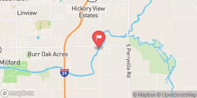
The Rock River Water Reclamation District Excess Flow Basin Dam, located in Rockford, Illinois, serves as a critical structure in managing excess water flow from the Rock River.
°F
°F
mph
Wind
%
Humidity
Summary
Completed in 2016, this earth dam stands at a height of 8 feet and spans 2600 feet in length, with a storage capacity of 42 acre-feet. The dam's primary purpose is categorized as "Other," with a high hazard potential due to its proximity to the Rock River.
Managed by a public utility, the dam is regulated and inspected by the Illinois Department of Natural Resources (IDNR). With a spillway width of 15 feet and an uncontrolled spillway type, the dam's risk assessment is rated as moderate. The Emergency Action Plan (EAP) for the dam was last revised in September 2018, ensuring preparedness for any potential emergencies. Water resource and climate enthusiasts can appreciate the important role this dam plays in flood control and water management along the Rock River in Winnebago County.
Year Completed |
2016 |
Dam Length |
2600 |
Dam Height |
8 |
River Or Stream |
ROCK RIVER - OFFSTREAM |
Primary Dam Type |
Earth |
Nid Storage |
42 |
Hazard Potential |
High |
Foundations |
Soil |
Nid Height |
8 |
Seasonal Comparison
Weather Forecast
Nearby Streamflow Levels
 Kishwaukee River Near Perryville
|
657cfs |
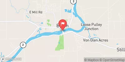 Rock River At Byron
|
4590cfs |
 Kishwaukee River At Belvidere
|
433cfs |
 South Branch Kishwaukee River Nr Fairdale Il
|
112cfs |
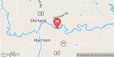 Pecatonica River Nr Shirland
|
1460cfs |
 Rock River At Rockton
|
4380cfs |
Dam Data Reference
Condition Assessment
SatisfactoryNo existing or potential dam safety deficiencies are recognized. Acceptable performance is expected under all loading conditions (static, hydrologic, seismic) in accordance with the minimum applicable state or federal regulatory criteria or tolerable risk guidelines.
Fair
No existing dam safety deficiencies are recognized for normal operating conditions. Rare or extreme hydrologic and/or seismic events may result in a dam safety deficiency. Risk may be in the range to take further action. Note: Rare or extreme event is defined by the regulatory agency based on their minimum
Poor A dam safety deficiency is recognized for normal operating conditions which may realistically occur. Remedial action is necessary. POOR may also be used when uncertainties exist as to critical analysis parameters which identify a potential dam safety deficiency. Investigations and studies are necessary.
Unsatisfactory
A dam safety deficiency is recognized that requires immediate or emergency remedial action for problem resolution.
Not Rated
The dam has not been inspected, is not under state or federal jurisdiction, or has been inspected but, for whatever reason, has not been rated.
Not Available
Dams for which the condition assessment is restricted to approved government users.
Hazard Potential Classification
HighDams assigned the high hazard potential classification are those where failure or mis-operation will probably cause loss of human life.
Significant
Dams assigned the significant hazard potential classification are those dams where failure or mis-operation results in no probable loss of human life but can cause economic loss, environment damage, disruption of lifeline facilities, or impact other concerns. Significant hazard potential classification dams are often located in predominantly rural or agricultural areas but could be in areas with population and significant infrastructure.
Low
Dams assigned the low hazard potential classification are those where failure or mis-operation results in no probable loss of human life and low economic and/or environmental losses. Losses are principally limited to the owner's property.
Undetermined
Dams for which a downstream hazard potential has not been designated or is not provided.
Not Available
Dams for which the downstream hazard potential is restricted to approved government users.
 Rock River Water Reclamation District Excess Flow Basin Dam
 Rock River Recreation Path Rockford