


White Rapids Left Causeway Reservoir Report
Last Updated: April 26, 2026
Nearby: White Rapids White Rapids
°F
°F
mph
Wind
%
Humidity
White Rapids Left Causeway is a public utility located in Menominee, Michigan, serving as a key infrastructure for hydroelectric power generation and recreation.
Summary
Built in 1927, this dam has a height of 7 feet and a length of 1200 feet, with a storage capacity of 5990 acre-feet and a surface area of 465 acres. Situated on the Menominee River, this structure is under the jurisdiction of the Federal Energy Regulatory Commission, ensuring regulatory oversight and inspections to maintain its operational integrity.
Despite being classified as a low hazard potential, White Rapids Left Causeway poses a high risk due to its age and lack of available condition assessment data. The dam's emergency action plan was last revised in 2006, highlighting the need for updated risk management measures and guidelines to ensure the safety of surrounding communities in the event of a potential breach. With a risk assessment rating of 2, stakeholders and regulatory agencies should prioritize addressing any potential vulnerabilities and implementing necessary safety measures to mitigate risks associated with this critical water resource infrastructure.
Water resource and climate enthusiasts can appreciate White Rapids Left Causeway's historical significance as a hydroelectric facility and recreational area while recognizing the importance of ongoing maintenance and risk management practices to safeguard its operational stability. As part of the Federal Energy Regulatory Commission's oversight, continued inspections and adherence to regulatory guidelines are essential to ensure the long-term sustainability and safety of this vital dam structure on the Menominee River.
Regional Streamflow Levels
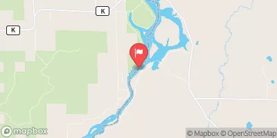 Menominee River At White Rapids Dam Near Banat
|
12800cfs |
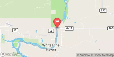 Menominee River Below Pemene Creek Near Pembine
|
12700cfs |
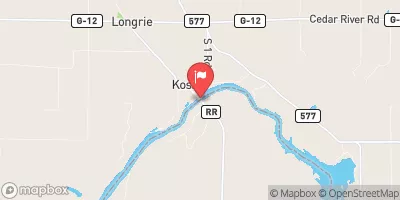 Menominee River At Koss
|
14500cfs |
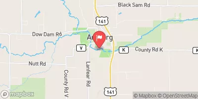 Pike River At Amberg
|
470cfs |
 Menominee River Near Mc Allister
|
15100cfs |
 Menominee River Near Vulcan
|
11800cfs |
15-Day Long Term Forecast
Year Completed |
1927 |
Dam Length |
1200 |
Dam Height |
7 |
River Or Stream |
Menominee |
Surface Area |
465 |
Hydraulic Height |
7 |
Drainage Area |
3228 |
Nid Storage |
5990 |
Structural Height |
7 |
Hazard Potential |
Low |
Nid Height |
7 |
Seasonal Comparison
5-Day Hourly Forecast Detail
Dam Data Reference
Condition Assessment
SatisfactoryNo existing or potential dam safety deficiencies are recognized. Acceptable performance is expected under all loading conditions (static, hydrologic, seismic) in accordance with the minimum applicable state or federal regulatory criteria or tolerable risk guidelines.
Fair
No existing dam safety deficiencies are recognized for normal operating conditions. Rare or extreme hydrologic and/or seismic events may result in a dam safety deficiency. Risk may be in the range to take further action. Note: Rare or extreme event is defined by the regulatory agency based on their minimum
Poor A dam safety deficiency is recognized for normal operating conditions which may realistically occur. Remedial action is necessary. POOR may also be used when uncertainties exist as to critical analysis parameters which identify a potential dam safety deficiency. Investigations and studies are necessary.
Unsatisfactory
A dam safety deficiency is recognized that requires immediate or emergency remedial action for problem resolution.
Not Rated
The dam has not been inspected, is not under state or federal jurisdiction, or has been inspected but, for whatever reason, has not been rated.
Not Available
Dams for which the condition assessment is restricted to approved government users.
Hazard Potential Classification
HighDams assigned the high hazard potential classification are those where failure or mis-operation will probably cause loss of human life.
Significant
Dams assigned the significant hazard potential classification are those dams where failure or mis-operation results in no probable loss of human life but can cause economic loss, environment damage, disruption of lifeline facilities, or impact other concerns. Significant hazard potential classification dams are often located in predominantly rural or agricultural areas but could be in areas with population and significant infrastructure.
Low
Dams assigned the low hazard potential classification are those where failure or mis-operation results in no probable loss of human life and low economic and/or environmental losses. Losses are principally limited to the owner's property.
Undetermined
Dams for which a downstream hazard potential has not been designated or is not provided.
Not Available
Dams for which the downstream hazard potential is restricted to approved government users.
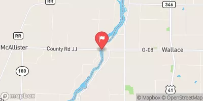
 Menominee River -- White Rapids Dam Access