


Crane Lake Reservoir Report
Last Updated: April 15, 2026
Nearby: Mononame 466 Rainbow Club Farm Dam
°F
°F
mph
Wind
%
Humidity
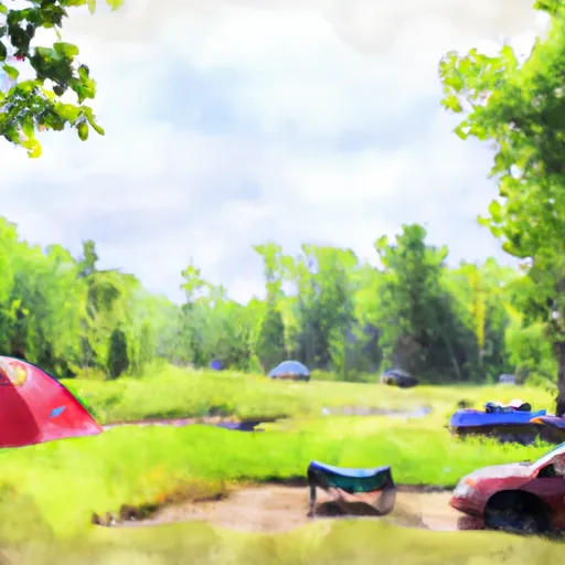
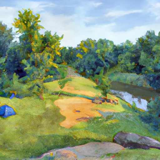
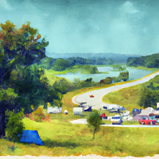
Crane Lake, located in Iron County, Missouri, is a federally-owned body of water managed by the Forest Service for recreational purposes.
Summary
The dam, completed in 1971, stands at a height of 46 feet and spans 377 feet in length. With a storage capacity of 2,210 acre-feet and a surface area of 99 acres, the lake provides ample opportunities for fishing, wildlife observation, and other outdoor activities.
Despite its scenic beauty and recreational value, Crane Lake poses a high hazard potential due to its unsatisfactory condition assessment. The dam's spillway type is uncontrolled, and its maximum discharge capacity is 11,800 cubic feet per second. Regular inspections are conducted by the Forest Service to ensure public safety. The risk assessment for the dam is moderate, with measures in place to manage potential hazards.
Water resource and climate enthusiasts visiting Crane Lake can appreciate its ecological significance within the region. The lake serves as a vital habitat for fish and wildlife, while also offering a serene setting for outdoor enthusiasts to enjoy. As efforts continue to maintain and improve the dam's infrastructure, visitors can experience the beauty of Crane Lake while being mindful of its potential risks and the importance of sustainable water resource management.
Regional Streamflow Levels
15-Day Long Term Forecast
Year Completed |
1971 |
Dam Length |
377 |
Dam Height |
46 |
River Or Stream |
CRANE POND LAKE |
Primary Dam Type |
Earth |
Surface Area |
99 |
Hydraulic Height |
46 |
Drainage Area |
9 |
Nid Storage |
2210 |
Structural Height |
46 |
Hazard Potential |
High |
Nid Height |
46 |
Seasonal Comparison
5-Day Hourly Forecast Detail
Dam Data Reference
Condition Assessment
SatisfactoryNo existing or potential dam safety deficiencies are recognized. Acceptable performance is expected under all loading conditions (static, hydrologic, seismic) in accordance with the minimum applicable state or federal regulatory criteria or tolerable risk guidelines.
Fair
No existing dam safety deficiencies are recognized for normal operating conditions. Rare or extreme hydrologic and/or seismic events may result in a dam safety deficiency. Risk may be in the range to take further action. Note: Rare or extreme event is defined by the regulatory agency based on their minimum
Poor A dam safety deficiency is recognized for normal operating conditions which may realistically occur. Remedial action is necessary. POOR may also be used when uncertainties exist as to critical analysis parameters which identify a potential dam safety deficiency. Investigations and studies are necessary.
Unsatisfactory
A dam safety deficiency is recognized that requires immediate or emergency remedial action for problem resolution.
Not Rated
The dam has not been inspected, is not under state or federal jurisdiction, or has been inspected but, for whatever reason, has not been rated.
Not Available
Dams for which the condition assessment is restricted to approved government users.
Hazard Potential Classification
HighDams assigned the high hazard potential classification are those where failure or mis-operation will probably cause loss of human life.
Significant
Dams assigned the significant hazard potential classification are those dams where failure or mis-operation results in no probable loss of human life but can cause economic loss, environment damage, disruption of lifeline facilities, or impact other concerns. Significant hazard potential classification dams are often located in predominantly rural or agricultural areas but could be in areas with population and significant infrastructure.
Low
Dams assigned the low hazard potential classification are those where failure or mis-operation results in no probable loss of human life and low economic and/or environmental losses. Losses are principally limited to the owner's property.
Undetermined
Dams for which a downstream hazard potential has not been designated or is not provided.
Not Available
Dams for which the downstream hazard potential is restricted to approved government users.
Area Campgrounds
| Location | Reservations | Toilets |
|---|---|---|
 Marble Creek Recreation Area
|
||
 Marble Creek Rec Area
|
||
 Highway K - Clearwater Lake
|
 Forest Boundary At North Section Line Of Sec 4, T33N, R5E To Forest Boundary At South Section Line Of Sec 35, T32N, R5E