


'+ROW[13].TOLOWERCASE().REPLACE(/ /G,' ')+'
Last Updated: May 2, 2026
Maximum discharge along the river is currently at the
reporting a streamflow rate of cfs.
This is also the highest stage along the '+Row[13].Tolowercase().Replace(/ /G,' ')+', with a gauge stage of
ft at this location.
This river is monitored from 0 different streamgauging stations along the '+Row[13].Tolowercase().Replace(/ /G,' ')+', the highest being situated at an altitude of ft, the
.
Get the latest River Levels, Streamflow, and Hydrology for in River flows across 0 streamgages of the '+Row[13].Tolowercase().Replace(/ /G,' ')+'
15-Day Long Term Forecast
River Streamflow Levels
| Streamgauge | Streamflow | Gauge Stage | 24hr Change (%) | % Normal | Minimum (cfs) | Maximum (cfs) | Air Temp | Elevation |
|---|
Seasonal Discharge Comparison
Maximum Streamflow Discharge
Streamflow Elevation Profile
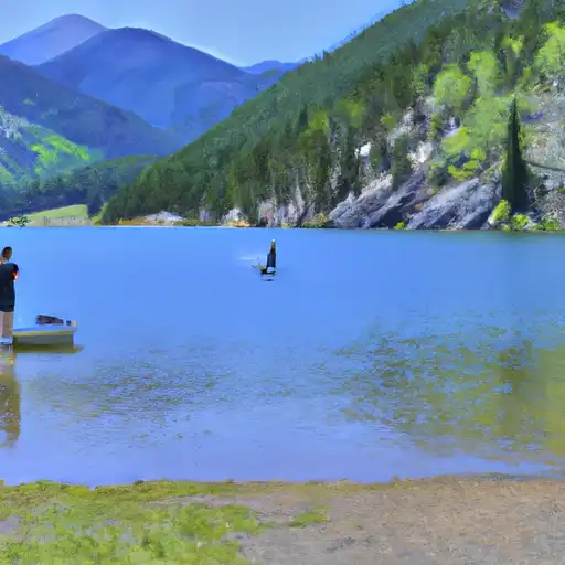
 Kinney Lake State Wildlife Area
 Kinney Lake SWA
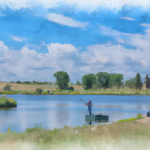 Hugo SWA Ponds
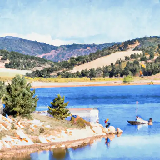 Karval Reservoir