Winter Storm Warning
Until 2024-11-08T02:30:00-07:00
•
National Weather Service
...PROLONGED WINTER STORM CONTINUES, WITH HISTORIC SNOWFALL IN
EASTERN ELBERT AND LINCOLN COUNTIES...
.A slow moving winter storm continues to impact the region with
multiple rounds of snow. Generally light snow bands will affect the
area overnight, but then expect the next wave of heavy snow to
impact more of the region Friday and Friday night, and then slowly
diminish Saturday morning as the storm exits the region. Heavy snow
accumulations have already paralyzed traffic in east central
Colorado including much of the I-70 Corridor around Limon and nearby
points surrounding that. Significant snow accumulations have
occurred across the Palmer Divide and southern Foothills.
Additional heavy snow will spread westward across the plains and
into the foothills Friday morning, and then continue through Friday
night. From this point forward, the heaviest additional snowfall
will occur from Denver metro area eastward across the plains of east
central Colorado. This, on top of snow that has already
accumulated, will result in a historic snowfall around Elbert,
Lincoln, and southern Washington Counties where storm total amounts
in some of those locations will be near three feet! The Denver
metro area will likely see another 7 to 14 inches with the heaviest
amounts in southern half of town. Meanwhile, much lighter snow
accumulations are likely farther north including Fort Collins,
Greeley, and other plains locations north of I-76.
Travel will be impossible east and southeast of Denver. Do not
travel or expect to travel in those locations through at least
Saturday as heavy snow impacts will last long past this storm. If
you live in rural areas of eastern Douglas, Elbert, Lincoln, or
southern Washington County be prepared to be stranded for several
days.
* WHAT...Heavy snow expected. Total snow accumulations between 6 and
14 inches.
* WHERE...The Southern Front Range Foothills, Boulder and the
western suburbs of Denver, Denver, Castle Rock, and Byers.
* WHEN...From 5 AM Friday to noon MST Saturday.
* IMPACTS...Travel could be very difficult to impossible. The
hazardous conditions could impact the Friday morning and evening
commutes.
READ SUMMARY
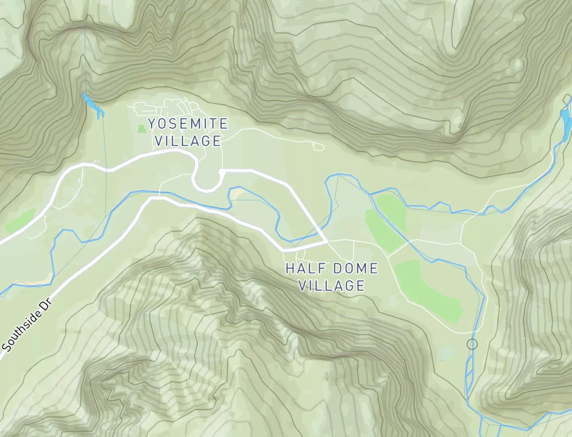
Maximum discharge along the river is currently at the
reporting a streamflow rate of cfs.
This is also the highest stage along the Boiling River, with a gauge stage of
ft at this location.
This river is monitored from 1 different streamgauging stations along the Boiling River, the highest being situated at an altitude of ft, the
.
Winter Storm Warning
Until 2024-11-08T02:30:00-07:00
•
National Weather Service
...PROLONGED WINTER STORM CONTINUES, WITH HISTORIC SNOWFALL IN
EASTERN ELBERT AND LINCOLN COUNTIES...
.A slow moving winter storm continues to impact the region with
multiple rounds of snow. Generally light snow bands will affect the
area overnight, but then expect the next wave of heavy snow to
impact more of the region Friday and Friday night, and then slowly
diminish Saturday morning as the storm exits the region. Heavy snow
accumulations have already paralyzed traffic in east central
Colorado including much of the I-70 Corridor around Limon and nearby
points surrounding that. Significant snow accumulations have
occurred across the Palmer Divide and southern Foothills.
Additional heavy snow will spread westward across the plains and
into the foothills Friday morning, and then continue through Friday
night. From this point forward, the heaviest additional snowfall
will occur from Denver metro area eastward across the plains of east
central Colorado. This, on top of snow that has already
accumulated, will result in a historic snowfall around Elbert,
Lincoln, and southern Washington Counties where storm total amounts
in some of those locations will be near three feet! The Denver
metro area will likely see another 7 to 14 inches with the heaviest
amounts in southern half of town. Meanwhile, much lighter snow
accumulations are likely farther north including Fort Collins,
Greeley, and other plains locations north of I-76.
Travel will be impossible east and southeast of Denver. Do not
travel or expect to travel in those locations through at least
Saturday as heavy snow impacts will last long past this storm. If
you live in rural areas of eastern Douglas, Elbert, Lincoln, or
southern Washington County be prepared to be stranded for several
days.
* WHAT...Heavy snow expected. Total snow accumulations between 6 and
14 inches.
* WHERE...The Southern Front Range Foothills, Boulder and the
western suburbs of Denver, Denver, Castle Rock, and Byers.
* WHEN...From 5 AM Friday to noon MST Saturday.
* IMPACTS...Travel could be very difficult to impossible. The
hazardous conditions could impact the Friday morning and evening
commutes.
River Levels
•
Streamflow
•
Hydrology
Maximum discharge along the river is currently at the
reporting a streamflow rate of cfs.
This is also the highest stage along the Boiling River, with a gauge stage of
ft at this location.
This river is monitored from 1 different streamgauging stations along the Boiling River, the highest being situated at an altitude of ft, the
.