Cooper River
Last Updated: May 10, 2026
Maximum discharge along the river is currently at the reporting a streamflow rate of cfs. This is also the highest stage along the Cooper River, with a gauge stage of ft at this location. This river is monitored from 1 different streamgauging stations along the Cooper River, the highest being situated at an altitude of ft, the .
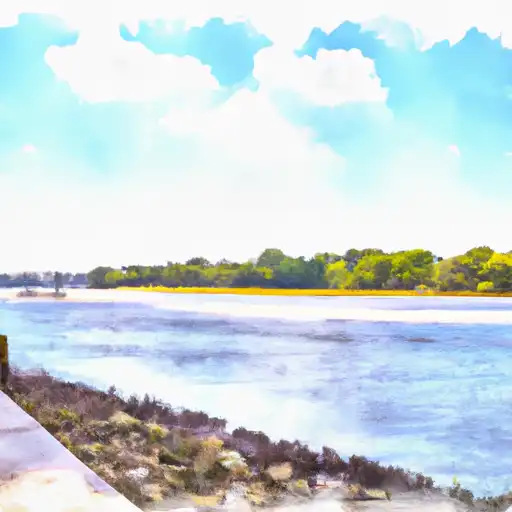
The Cooper River is a 50-mile-long waterway in South Carolina that originates in the center of the state and flows through Charleston before emptying into the Atlantic Ocean.
15-Day Long Term Forecast
River Streamflow Levels
| Streamgauge | Streamflow | Gauge Stage | 24hr Change (%) | % Normal | Minimum (cfs) | Maximum (cfs) | Air Temp | Elevation |
|---|---|---|---|---|---|---|---|---|
|
Cooper River At Haddonfield Nj
USGS 01467150 |
8 cfs | 1.37 ft | -20.14 |
Seasonal Discharge Comparison
Maximum Streamflow Discharge
Streamflow Elevation Profile
The Cooper River is a tributary of the Delaware River in southwestern New Jersey in the United States.The confluence of the Cooper River with the Delaware River is in Camden. The Cooper River serves as a border between Cherry Hill and Haddon Township, Haddonfield, and Lawnside.
The Cooper River (known upstream near Haddonfield as Cooper's Creek) was named after the Cooper family, who were some of the first European settlers in the area of Camden County, New Jersey. This tributary of the Delaware River is 16 miles (25.7 km) long measuring from its headwater in Gibbsboro (it is notable that the Northern Branch begins in Voorhees Township). The Cooper River Watershed covers 40 square miles (100 km2), and includes the tributaries Chandlers Run, Millard Creek, Nicholson Branch, the North Branch, and Tindale Run (the last two being the most significant). Although historically a tidal river (the most severe tide reportedly reached Kings Highway), all present tidal influence stops at the Kaighn Avenue Bridge, in Camden, where it is impounded.
The Cooper flows through Barrington, Berlin Township, Camden, Cherry Hill, Collingswood, Gibbsboro, Haddon Township, Haddonfield, Lawnside, Lindenwold, Magnolia, Merchantville, Pennsauken Township, Somerdale, Stratford, Tavistock and Voorhees Township.The Cooper also has seven impoundments, not listed in geographical order: Cooper River Lake, Evans Pond, Hopkins Pond, Kirkwood Lake, Linden Lake, Square Circle Lake, Wallworth Lake.

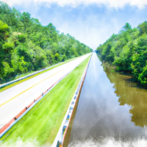 Highway 402 To Old Santee Canal/Cooper River Confluence
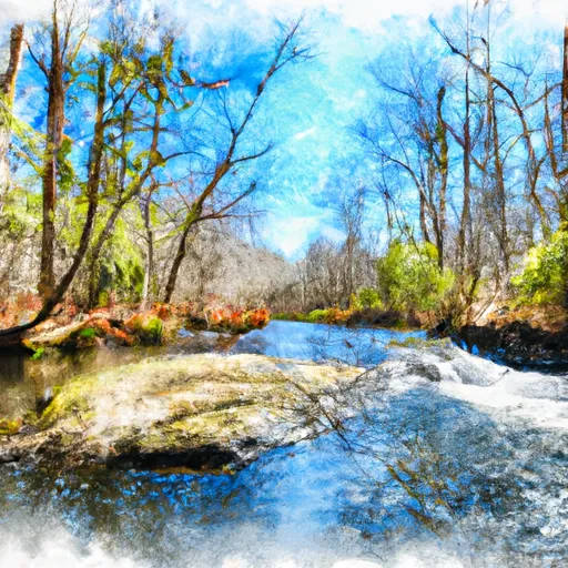 Headwaters To Santee River Confluence
 Headwaters To Highway 402
 Co-op Pond
 Willow Hall Pond
 Windom Corner Pond
 Four Poles Park Dock
 Middle Nebo Pond
 Continue with Snoflo Premium