Summary
Maximum discharge along the river is currently at the reporting a streamflow rate of cfs. This is also the highest stage along the Cranberry River, with a gauge stage of ft at this location. This river is monitored from 1 different streamgauging stations along the Cranberry River, the highest being situated at an altitude of ft, the .
15-Day Weather Outlook
River Streamflow Levels
| Streamgauge | Streamflow | Gauge Stage | 24hr Change (%) | % Normal | Minimum (cfs) | Maximum (cfs) | Air Temp | Elevation |
|---|---|---|---|---|---|---|---|---|
|
Cranberry River Near Richwood
USGS 03187500 |
259 cfs | 2.55 ft | -64.37 |
Seasonal Discharge Comparison
Maximum Streamflow Discharge
Streamflow Elevation Profile
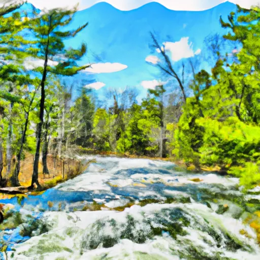
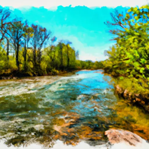
The Cranberry River is a river in central Massachusetts that is part of the Chicopee River Watershed. It rises in Cranberry Meadow Pond in Spencer, Massachusetts, and flows northward for 3.7 miles (6.0 km) to its confluence with the Sevenmile River southwest of Spencer.

 West Branch, Mi State Highway 28 To Cascade Falls
 South Branch,Confluence Of Cisco Branch And Tenmile Creek To Confluence With West Branch