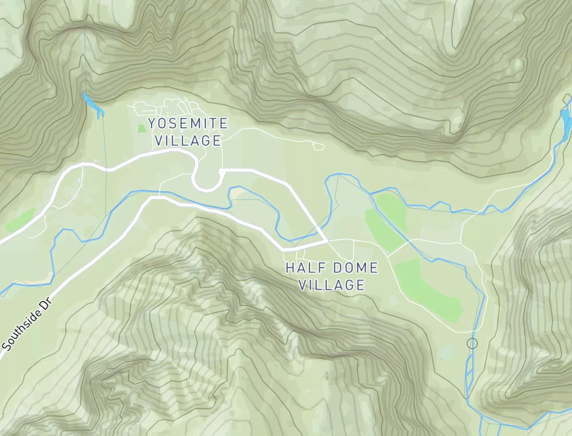
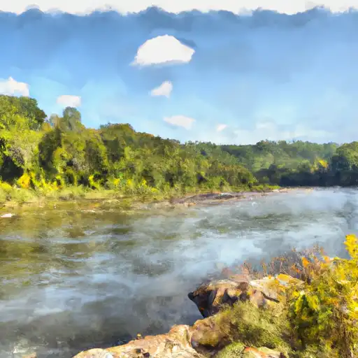
Dead River
Last Updated: May 10, 2026
Maximum discharge along the river is currently at the reporting a streamflow rate of cfs. This is also the highest stage along the Dead River, with a gauge stage of ft at this location. This river is monitored from 1 different streamgauging stations along the Dead River, the highest being situated at an altitude of ft, the .
The Dead River is a 46-mile long river in the state of Maine, USA.
15-Day Long Term Forecast
River Streamflow Levels
| Streamgauge | Streamflow | Gauge Stage | 24hr Change (%) | % Normal | Minimum (cfs) | Maximum (cfs) | Air Temp | Elevation |
|---|---|---|---|---|---|---|---|---|
|
Dead River Near Dead River
USGS 01043500 |
388 cfs | 3.86 ft | 0 |
Seasonal Discharge Comparison
Maximum Streamflow Discharge
Streamflow Elevation Profile
The Dead River, found in Lake County, Florida, USA, serves as the division between the cities of Tavares and Leesburg. It received its name due to lack of a current. Studies have shown that a simple john boat can remain in nearly the same position if left on the river overnight with less than five feet of drift. The Dead River connects Lake Eustis and Lake Harris. The only roadway to cross the river is U.S. Highway 441/SR 44 near the river's northern mouth toward Lake Eustis. There are two businesses located directly on the river. Hurricanes Dockside Grill (2017) previously known as Dead River Vic's (1999), Harbor Side (2006), Nates River Deck (2008) and JJ Fin's (2009). Across Highway 441, opposite from Hurricanes Dockside Grill, there is a fish camp/restaurant named Palm Gardens.
For a historical look at Lake County waters, this was written in the 1930s:
Amid the slopes and waters of beautiful Lake County, are Leesburg, Eustis, Tavares, and Mount Dora, all possessed of excellent tourist accommodations and such natural and man-made beauty, combined with all sorts of sport advantages, that the sport-loving visitor is thrilled. Bass fishing surpasses anything you have ever known in that line. Citrus fruits and other products abound. Golf courses are found in every community. As an all-year resort section, this is hard to equal.
On June 18, 2003, Brian Griffin, 12, was killed by a 10' 4" alligator while swimming in the Dead River near a boat ramp.

 Lake Gentry
 Lake Rosalie
 Lake Tohopekaliga
 Lake Marion
 Lake Pierce
 Continue with Snoflo Premium