Summary
Total streamflow across the
Deschutes River
was last observed at
9,683
cfs, and is expected to yield approximately
19,206
acre-ft of water today; about 85%
of normal.
Average streamflow for this time of year is
11,384 cfs,
with recent peaks last observed
on
2019-04-10 when daily discharge volume was observed at
35,060 cfs.
Maximum discharge along the river is currently at the
Deschutes River At Moody
reporting a streamflow rate of 4,620 cfs.
However, the streamgauge with the highest stage along the river is the
Deschutes River At E St Bridge At Tumwater
with a gauge stage of 25.92 ft.
This river is monitored from 5 different streamgauging stations along the Deschutes River, the highest being situated at an altitude of 1,951 ft, the
Deschutes River Near Culver.
15-Day Weather Outlook
River Details
| Last Updated | 2026-02-11 |
| Discharge Volume | 19,206 ACRE-FT |
| Streamflow |
9,683.0 cfs
-42.0 cfs (-0.43%) |
| Percent of Normal | 85.06% |
| Maximum |
35,060.0 cfs
2019-04-10 |
| Seasonal Avg | 11,384 cfs |
River Streamflow Levels
| Streamgauge | Streamflow | Gauge Stage | 24hr Change (%) | % Normal | Minimum (cfs) | Maximum (cfs) | Air Temp | Elevation |
|---|---|---|---|---|---|---|---|---|
|
Deschutes River Near Culver
USGS 14076500 |
923 cfs | 3.24 ft | -1.28 | |||||
|
Deschutes River Near Madras
USGS 14092500 |
4140 cfs | 2.9 ft | 0 | |||||
|
Deschutes River Near Rainier
USGS 12079000 |
269 cfs | 4.24 ft | 6.75 | |||||
|
Deschutes River At Moody
USGS 14103000 |
4620 cfs | 2.96 ft | -0.65 | |||||
|
Deschutes River At E St Bridge At Tumwater
USGS 12080010 |
425 cfs | 25.92 ft | -6.18 |
Seasonal Discharge Comparison
Maximum Streamflow Discharge
Streamflow Elevation Profile
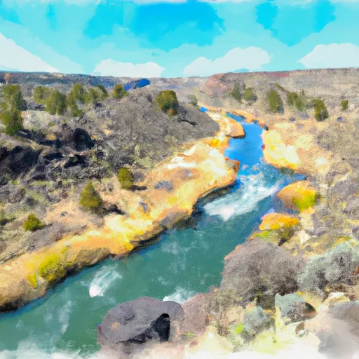
The Deschutes River in central Oregon is a major tributary of the Columbia River. The river provides much of the drainage on the eastern side of the Cascade Range in Oregon, gathering many of the tributaries that descend from the drier, eastern flank of the mountains. The Deschutes provided an important route to and from the Columbia for Native Americans for thousands of years, and then in the 19th century for pioneers on the Oregon Trail. The river flows mostly through rugged and arid country, and its valley provides a cultural heart for central Oregon. Today the river supplies water for irrigation and is popular in the summer for whitewater rafting and fishing.
The river flows generally north, as do several other large Oregon tributaries of the Columbia River, including the Willamette and John Day.

 Crooked River National Grassland Boundary To Confluence With Deschutes River
 Canyon Run (Lower Bridge to Billy Chinook Res.)