Summary
Total streamflow across the
Gallatin River
was last observed at
923
cfs, and is expected to yield approximately
1,831
acre-ft of water today; about 95%
of normal.
Average streamflow for this time of year is
974 cfs,
with recent peaks last observed
on
2022-06-14 when daily discharge volume was observed at
16,110 cfs.
Maximum discharge along the river is currently at the
Gallatin River At Logan Mt
reporting a streamflow rate of 653 cfs.
This is also the highest stage along the Gallatin River, with a gauge stage of
5.03 ft at this location.
This river is monitored from 2 different streamgauging stations along the Gallatin River, the highest being situated at an altitude of 5,189 ft, the
Gallatin River Near Gallatin Gateway Mt.
15-Day Weather Outlook
River Details
| Last Updated | 2026-02-11 |
| Discharge Volume | 1,831 ACRE-FT |
| Streamflow |
923.0 cfs
-99.0 cfs (-9.69%) |
| Percent of Normal | 94.72% |
| Maximum |
16,110.0 cfs
2022-06-14 |
| Seasonal Avg | 974 cfs |
River Streamflow Levels
| Streamgauge | Streamflow | Gauge Stage | 24hr Change (%) | % Normal | Minimum (cfs) | Maximum (cfs) | Air Temp | Elevation |
|---|---|---|---|---|---|---|---|---|
|
Gallatin River Near Gallatin Gateway Mt
USGS 06043500 |
270 cfs | 1.2 ft | -16.92 | |||||
|
Gallatin River At Logan Mt
USGS 06052500 |
653 cfs | 5.03 ft | -6.31 |
Seasonal Discharge Comparison
Maximum Streamflow Discharge
Streamflow Elevation Profile
The Gallatin River is a tributary of the Missouri River, approximately 120 mi (193 km long), in the U.S. states of Wyoming and Montana. It is one of three rivers, along with the Jefferson and Madison, that converge near Three Forks, Montana, to form the Missouri.
It originates in the northwest corner of Yellowstone National Parke in northwestern Wyoming, in the Gallatin Range of the Rocky Mountains. It flows northwest through Gallatin National Forest, past Big Sky, Montana, and joins the Jefferson and Madison approximately 30 mi (48 km) northwest of Bozeman.
U.S. Highway 191 follows the river from the Wyoming border to just outside Bozeman.
The river was named in July 1805 by Meriwether Lewis at Three Forks. The eastern fork of the three, it was named for Albert Gallatin, the U.S. Treasury Secretary from 1801–14. The western fork was named for President Thomas Jefferson and the central fork for Secretary of State James Madison.
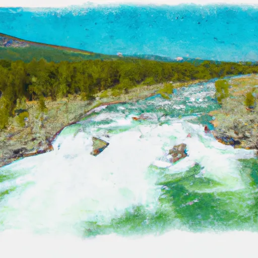
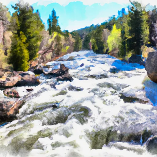
The Gallatin River is one of the best whitewater runs in the Yellowstone-Teton Area. In June, when the snowmelt is released from the mountains, the river has a class IV section called the "Mad Mile". This section is over a mile long and contains continuous stretches of challenging whitewater. Rafting companies offer trips on this river – on the Mad Mile Section as well as other, less challenging sections.
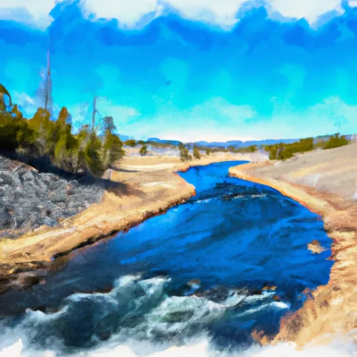
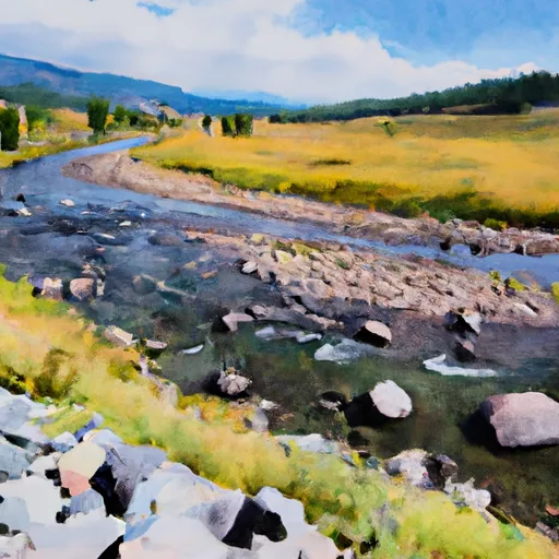
The Gallatin River is an amazingly scenic river – winding through high alpine meadows, dropping into the rocky Gallatin Canyon, and flowing out into the Gallatin Valley. It is an exceptionally popular fly fishing destination for rainbow trout, brown trout and mountain whitefish. Portions of the river are designated as a Blue Ribbon trout stream while the remainder is designated Red Ribbon by the Montana Fish, Wildlife and Parks Department. The river is closed to fishing from boats from Yellowstone Park to the confluence with the East Gallatin River. Parts of the movie A River Runs Through It were filmed on the Gallatin.
The river is a Class I water from the Taylor Fork to its confluence with the Missouri for the purposes of public recreational access.
Regional Streamflow Levels
699
Cubic Feet Per Second
850
Cubic Feet Per Second
90
Cubic Feet Per Second
28
Cubic Feet Per Second
River Runs
-
 Begins Where The River Parallels A Two-Lane Highway To The Western Boundary Of Yellowstone National Park
-
 Gallatin Canyon, Sec. 19, T4S, R4E To Yellowstone National Park, Sec. 27, T9S, R5E
-
 The Headwaters, In The Gallatin Range To Ends Downstream Of Osprey Falls
-
 The Headwaters In The Gallatin Range To Ends Where The River Parallels A Two-Lane Highway
