2026-05-06T15:00:00-06:00
* WHAT...Heavy snow expected. Total snow accumulations between 5 and 8 inches with locally up to 12 inches next to the foothills. * WHERE...Fort Collins, Boulder, Denver metro area, and Castle Rock. * WHEN...From 8 PM this evening to 3 PM MDT Wednesday. * IMPACTS...Heavy snow accumulating on trees may result in broken tree limbs, downed powerlines, and scattered power outages. Despite lesser accumulations on roadways, slick and hazardous conditions are still possible for the Wednesday morning commute.

HAWLINGS RIVER
Last Updated: May 5, 2026
Maximum discharge along the river is currently at the reporting a streamflow rate of cfs. This is also the highest stage along the Hawlings River, with a gauge stage of ft at this location. This river is monitored from 1 different streamgauging stations along the Hawlings River, the highest being situated at an altitude of ft, the .
Get the latest River Levels, Streamflow, and Hydrology for in River flows across 1 streamgages of the Hawlings River
15-Day Long Term Forecast
River Streamflow Levels
| Streamgauge | Streamflow | Gauge Stage | 24hr Change (%) | % Normal | Minimum (cfs) | Maximum (cfs) | Air Temp | Elevation |
|---|---|---|---|---|---|---|---|---|
|
Hawlings River Near Sandy Spring
USGS 01591700 |
10 cfs | 0.54 ft | 0 |
Seasonal Discharge Comparison
Maximum Streamflow Discharge
Streamflow Elevation Profile
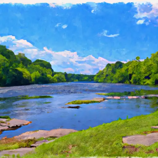
The river is approximately 6.5 miles long and has a watershed area of 22 square miles. It was named after Richard Hawlings, an early landowner in the area. The river has historically been used for transportation, agriculture, and industry. There are two reservoirs on the river, the Triadelphia Reservoir and the Brighton Dam Reservoir, that serve as a source of drinking water for the surrounding communities. The Brighton Dam is a concrete gravity dam and is the tallest dam in Maryland, standing at 102 feet tall. There are also several parks and hiking trails along the river that provide recreational opportunities such as fishing, hiking, and kayaking. The Hawlings River is an important resource for the local community and plays a vital role in the region's ecology and economy.

 Kinney Lake State Wildlife Area
 Kinney Lake SWA
 Hugo SWA Ponds
 Karval Reservoir
 Continue with Snoflo Premium