
Summary
Maximum discharge along the river is currently at the reporting a streamflow rate of cfs. This is also the highest stage along the Hoback River, with a gauge stage of ft at this location. This river is monitored from 0 different streamgauging stations along the Hoback River, the highest being situated at an altitude of ft, the .
River Streamflow Levels
| Streamgauge | Streamflow | Gauge Stage | 24hr Change (%) | % Normal | Minimum (cfs) | Maximum (cfs) | Air Temp | Elevation |
|---|
Seasonal Discharge Comparison
Maximum Streamflow Discharge
Streamflow Elevation Profile
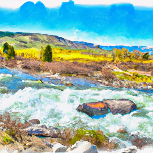
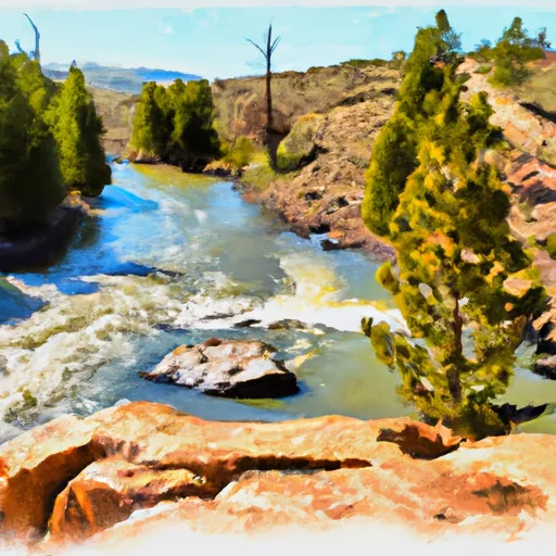
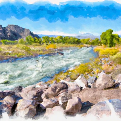
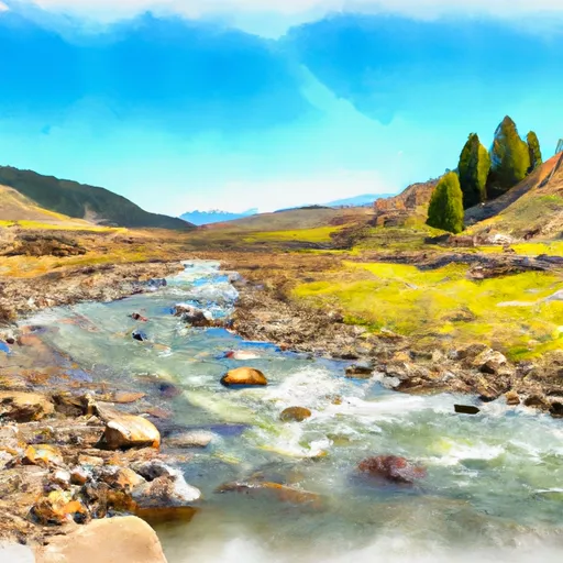
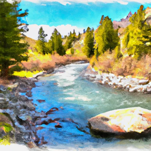
The Hoback River, once called the Fall River, is an approximately 55-mile (89 km)-long tributary of the Snake River in the U.S. state of Wyoming. It heads in the northern Wyoming Range of Wyoming and flows north and then east through the Bridger-Teton National Forest. Its largest tributary is its South Fork, which joins the Hoback about nine miles downstream of its head as it turns northeast and continues to U.S. Route 191. It then turns northwest, where it spreads onto a large marshy flat in a braided floodplain once known as Jackson's Little Hole, but now referred to as the "Hoback Basin" in which lies the town of Bondurant. It then enters the steep, narrow Hoback Canyon from which it emerges to join the Snake about 11 miles (18 km) south of Jackson Hole, just upstream of head of the Snake River Canyon near the town of Hoback. The entire length of the Hoback is free flowing and unobstructed by dams. About 30 miles (48 km) downstream from the confluence with the Hoback River, the Snake River crosses into the state of Idaho and is impounded by Palisades Dam.The river is named after John Hoback, an explorer who traveled with the Astor Expedition from the Snake River, using the Hoback River as a passage to the Green River, a tributary of the Colorado River.
 Source To End Of Hoback Road
 Source To Trailhead
 Trailhead To Confluence With Greys River
 Source, Pickle Pass To Confluence With Hoback River
 Source To Cliff Creek Trailhead