Summary
Maximum discharge along the river is currently at the reporting a streamflow rate of cfs. This is also the highest stage along the Hubbard River, with a gauge stage of ft at this location. This river is monitored from 1 different streamgauging stations along the Hubbard River, the highest being situated at an altitude of ft, the .
15-Day Weather Outlook
River Streamflow Levels
| Streamgauge | Streamflow | Gauge Stage | 24hr Change (%) | % Normal | Minimum (cfs) | Maximum (cfs) | Air Temp | Elevation |
|---|---|---|---|---|---|---|---|---|
|
Hubbard River Nr. West Hartland
USGS 01187300 |
9 cfs | 1.06 ft | -42.2 |
Seasonal Discharge Comparison
Maximum Streamflow Discharge
Streamflow Elevation Profile
The Hubbard River, 4.6 miles (7.4 km) long, is part of the Farmington River watershed. It flows through Connecticut and Massachusetts.The river is a main feature of Massachusetts's Granville State Forest where it drops 450 feet (140 m) in 2.5 miles (4.0 km). It is named for Samuel Hubbard, the English colonist who first came to the area in 1749. The river heads in Tolland, Massachusetts, at the junction of Babcock Brook and Hall Pond Brook, then flows southeast across Granville, Massachusetts to Barkhamsted Reservoir in the town of Hartland, Connecticut.
Regional Streamflow Levels
87
Cubic Feet Per Second
5
Cubic Feet Per Second
146
Cubic Feet Per Second
587
Cubic Feet Per Second
River Runs
-
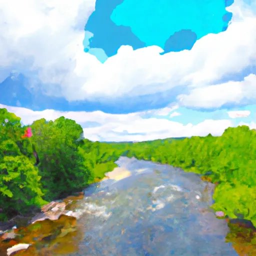 New Hartford/Canton Town Line To The Confluence With The Nepaug River
-
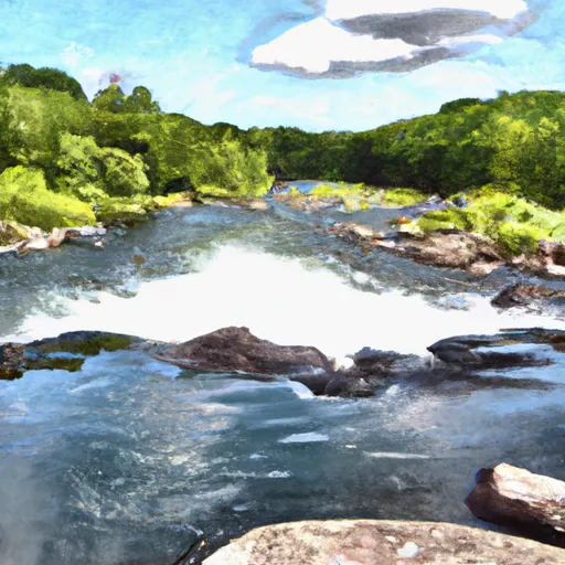 The Confluence With The Nepaug River To A Point 0.2 Miles Below The Lower Collinsville Dam Tailrace
-
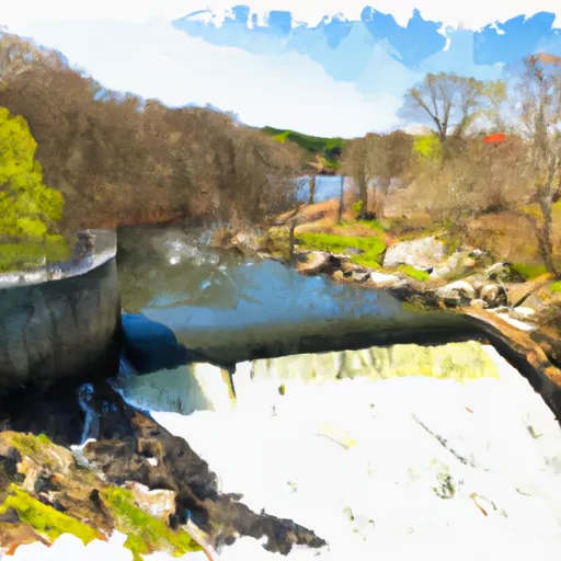 Begins Below The Tailrace Of The Lower Collinsville Dam To The Route 187 Bridge
-
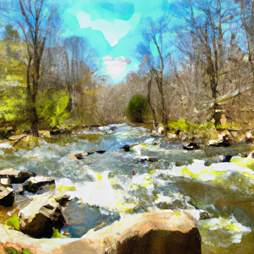 The Hartland Headwaters To The Confluence With The Salmon Brook Main Stem
-
 The Confluence Of The East And West Branches To The Confluence With The Farmington River In East Granby
-
 The Massachusetts-Connecticut State Line In Hartland To The Confluence With The Salmon Brook Main Stem
