Summary
Maximum discharge along the river is currently at the reporting a streamflow rate of cfs. This is also the highest stage along the Judith River, with a gauge stage of ft at this location. This river is monitored from 1 different streamgauging stations along the Judith River, the highest being situated at an altitude of ft, the .
15-Day Weather Outlook
River Streamflow Levels
| Streamgauge | Streamflow | Gauge Stage | 24hr Change (%) | % Normal | Minimum (cfs) | Maximum (cfs) | Air Temp | Elevation |
|---|---|---|---|---|---|---|---|---|
|
Judith River Nr Mouth
USGS 06114700 |
368 cfs | 5.03 ft | -2.39 |
Seasonal Discharge Comparison
Maximum Streamflow Discharge
Streamflow Elevation Profile
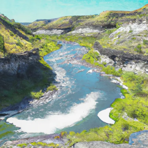
The Judith River is a tributary of the Missouri River, approximately 124 mi (200 km) long, running through central Montana in the United States. It rises in the Little Belt Mountains and flows northeast past Utica and Hobson. It is joined by Dry Wolf Creek in northern Fergus County, and itself joins the Missouri in the White Cliffs Area approximately 18 mi (29 km) northwest of Winifred.
The river gives its name to the Judith River Group of the late Cretaceous, a notable area for excavation of dinosaur fossils that stretches from Montana into southeastern Alberta and southwestern Saskatchewan. The river was named by William Clark. William Clark came across a stream which he considered particularly clear and pretty, and named it the Judith River, in honor of a young girl back in Virginia he hoped would marry him some day. (In fact, ultimately she did; their grandson, Meriwether Lewis Clark, Jr., was a Colonel in the U.S. Army and later a founder, with his extended family, of the Kentucky Derby.)
It is also known for its large amount of Cretaceous dinosaur fossils, including those of Tyrannosaurus, Styracosaurus and Edmontosaurus.
The Judith is a Class I river from the confluence with Big Spring Creek to its confluence with the Missouri River for public access for recreational purposes.

 Arch Coulee Junction, Sec. 32, T13N, R11E To Forest Boundary, Sec. 35, T13N, R11E