Summary
Maximum discharge along the river is currently at the reporting a streamflow rate of cfs. This is also the highest stage along the Metolius River, with a gauge stage of ft at this location. This river is monitored from 1 different streamgauging stations along the Metolius River, the highest being situated at an altitude of ft, the .
15-Day Weather Outlook
River Streamflow Levels
| Streamgauge | Streamflow | Gauge Stage | 24hr Change (%) | % Normal | Minimum (cfs) | Maximum (cfs) | Air Temp | Elevation |
|---|---|---|---|---|---|---|---|---|
|
Metolius River Near Grandview
USGS 14091500 |
1320 cfs | 1.11 ft | 0 |
Seasonal Discharge Comparison
Maximum Streamflow Discharge
Streamflow Elevation Profile
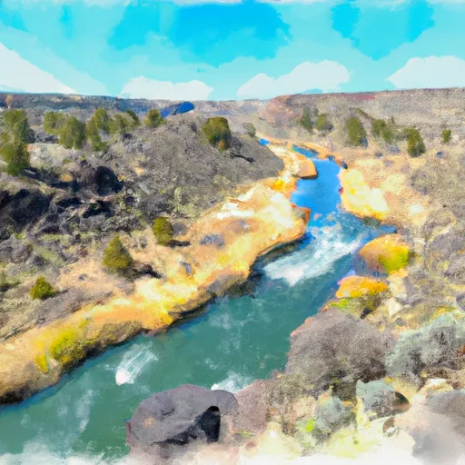
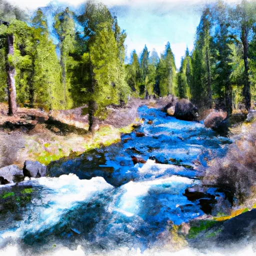
The Metolius River (pronounced muh TOLL ee us) is a tributary of the Deschutes River (through Lake Billy Chinook) in Central Oregon, United States, near the city of Sisters. The river flows north from springs near Black Butte, then turns sharply east, descending through a series of gorges before ending in the western end of the lake. The unincorporated community of Camp Sherman lies astride the southern end of the river. The name of the river comes from the Warm Springs or Sahaptin word mitula, meaning white salmon and referring to a light colored Chinook salmon and not a whitefish.
The river's drainage basin is 315 square miles (820 km2) in area and, according to at least one estimate, contains 110 miles (180 km) of perennial streams, 324 miles (521 km) of intermittent streams, 42 lakes, and 121 ponds.

 Crooked River National Grassland Boundary To Confluence With Deschutes River
 Source To Confluence With Metolius River