
MIDDLE RACCOON RIVER
Last Updated: May 10, 2026
Total streamflow across the
Middle Raccoon River
was last observed at
452
cfs, and is expected to yield approximately
897
acre-ft of water today; about 160%
of normal.
River levels are high.
Average streamflow for this time of year is
283 cfs,
with recent peaks last observed
on
2025-06-24 when daily discharge volume was observed at
3,367 cfs.
Maximum discharge along the river is currently at the
Middle Raccoon River At Panora
reporting a streamflow rate of 235 cfs.
However, the streamgauge with the highest stage along the river is the
Middle Raccoon River Near Bayard
with a gauge stage of 10.32 ft.
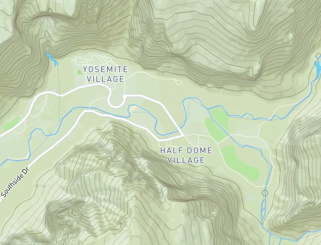
This river is monitored from 2 different streamgauging stations along the Middle Raccoon River, the highest being situated at an altitude of 1,054 ft, the
Middle Raccoon River Near Bayard.
Get the latest River Levels, Streamflow, and Hydrology for in River flows across 2 streamgages of the Middle Raccoon River
15-Day Long Term Forecast
River Details
| Last Updated | 2026-05-09 |
| Discharge Volume | 897 ACRE-FT |
| Streamflow |
452.0 cfs
Past 24 Hours: -14.0 cfs (-3.0%) |
| Percent of Normal | 159.92% |
| Maximum |
3,367.0 cfs
2025-06-24 |
| Seasonal Avg | cfs |
River Streamflow Levels
| Streamgauge | Streamflow | Gauge Stage | 24hr Change (%) | % Normal | Minimum (cfs) | Maximum (cfs) | Air Temp | Elevation |
|---|---|---|---|---|---|---|---|---|
|
Middle Raccoon River Near Bayard
USGS 05483450 |
217 cfs | 10.32 ft | -2.69 | |||||
|
Middle Raccoon River At Panora
USGS 05483600 |
235 cfs | 4.72 ft | -3.29 |
Seasonal Discharge Comparison
Maximum Streamflow Discharge
Streamflow Elevation Profile
It has played a significant role in the history of Iowa, serving as a source of water for irrigation, transportation, and industry. The river flows through several counties, including Carroll, Dallas, and Guthrie. The hydrology of the Middle Raccoon River is influenced by several dams and reservoirs, such as the Saylorville Reservoir and the Red Rock Reservoir. These structures help regulate the river's flow, provide flood control, and support recreational activities such as boating, fishing, and camping. The river also supports agricultural activities, including crop irrigation and livestock watering. Despite facing challenges such as pollution and habitat loss, the Middle Raccoon River remains an important natural resource for the state of Iowa.

 Kinney Lake State Wildlife Area
 Kinney Lake SWA
 Hugo SWA Ponds
 Karval Reservoir
 Continue with Snoflo Premium