Summary
Total streamflow across the
North Platte River
was last observed at
598
cfs, and is expected to yield approximately
1,186
acre-ft of water today; about 133%
of normal.
River levels are high.
Average streamflow for this time of year is
450 cfs,
with recent peaks last observed
on
2011-06-21 when daily discharge volume was observed at
36,130 cfs.
Maximum discharge along the river is currently at the
North Platte River Below Glendo Reservoir
reporting a streamflow rate of 5,710 cfs.
This is also the highest stage along the North Platte River, with a gauge stage of
8.94 ft at this location.
This river is monitored from 5 different streamgauging stations along the North Platte River, the highest being situated at an altitude of 7,823 ft, the
North Platte River Near Northgate.
15-Day Weather Outlook
River Details
| Last Updated | 2026-02-12 |
| Discharge Volume | 1,186 ACRE-FT |
| Streamflow |
598.0 cfs
0.0 cfs (0.0%) |
| Percent of Normal | 132.83% |
| Maximum |
36,130.0 cfs
2011-06-21 |
| Seasonal Avg | 450 cfs |
River Streamflow Levels
| Streamgauge | Streamflow | Gauge Stage | 24hr Change (%) | % Normal | Minimum (cfs) | Maximum (cfs) | Air Temp | Elevation |
|---|---|---|---|---|---|---|---|---|
|
North Platte River Near Northgate
USGS 06620000 |
109 cfs | 3.19 ft | -21.58 | |||||
|
North Platte River At Orin
USGS 06652000 |
598 cfs | 3.56 ft | 0 | |||||
|
North Platte River Below Glendo Reservoir
USGS 06652800 |
5710 cfs | 8.94 ft | ||||||
|
North Platte River Below Whalen Diversion Dam
USGS 06657000 |
4 cfs | 4.3 ft | 9.24 | |||||
|
North Platte River At Wyoming-Nebraska State Line
USGS 06674500 |
159 cfs | 2.16 ft | -3.05 |
Seasonal Discharge Comparison
Maximum Streamflow Discharge
Streamflow Elevation Profile
The North Platte River is a major tributary of the Platte River and is approximately 716 miles (1,152 km) long, counting its many curves. In a straight line, it travels about 550 miles (890 km), along its course through the U.S. states of Colorado, Wyoming, and Nebraska.
The head of the river is essentially all of Jackson County, Colorado, whose boundaries are the continental divide on the east and south and the mountain drainage peaks on the east—the north boundary is the state of Wyoming border. The rugged Rocky Mountains surrounding Jackson County have at least twelve peaks over 11,000 feet (3,400 m) in height. From Jackson County the river flows north about 200 miles (320 km) out of the Routt National Forest and North Park (Colorado basin) near what is now Walden, Colorado, to Casper, Wyoming. Shortly after passing Casper, the river turns to the east-southeast and flows about 350 miles (560 km) to the city of North Platte, Nebraska.
The North Platte and South Platte River join to form the Platte River in western Nebraska near the city of North Platte, Nebraska. The Platte River flows to the Missouri River, which joins the Mississippi River to flow to the Gulf of Mexico. The river provides the major avenue of drainage for northern Colorado, eastern Wyoming and western Nebraska. It is only navigable over most of its length at high water by canoes, kayaks and rubber rafts.

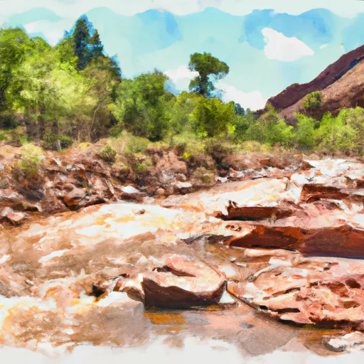 Roaring Fork (West Section Line Sec 28 T9N, R82W); Red Canyon (Nw1/4 Sec 5, T8N, R82W) To East Section Line Sec 34, T9N, R82W
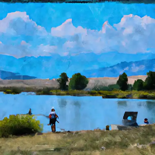 South Delaney
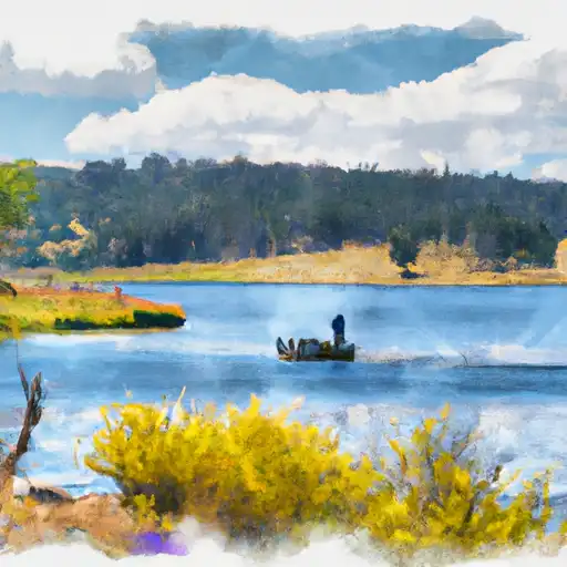 South Delaney Lake
 South Delaney Butte Lake
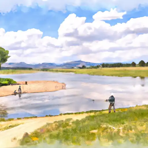 North Delaney
 North Platte River