Summary
Maximum discharge along the river is currently at the reporting a streamflow rate of cfs. This is also the highest stage along the Nottely River, with a gauge stage of ft at this location. This river is monitored from 1 different streamgauging stations along the Nottely River, the highest being situated at an altitude of ft, the .
15-Day Weather Outlook
River Streamflow Levels
| Streamgauge | Streamflow | Gauge Stage | 24hr Change (%) | % Normal | Minimum (cfs) | Maximum (cfs) | Air Temp | Elevation |
|---|---|---|---|---|---|---|---|---|
|
Nottely River Near Blairsville
USGS 03550500 |
105 cfs | 1.85 ft | -6.25 |
Seasonal Discharge Comparison
Maximum Streamflow Discharge
Streamflow Elevation Profile
The Nottely River is a river in the United States. The river originates in the Blue Ridge Mountains in northern Georgia. The river flows for 51.1 miles (82.2 km) into the artificial Hiwassee Reservoir in North Carolina. The Nottely River is dammed in Georgia, creating Lake Nottely. Arkaqua Creek is a tributary.

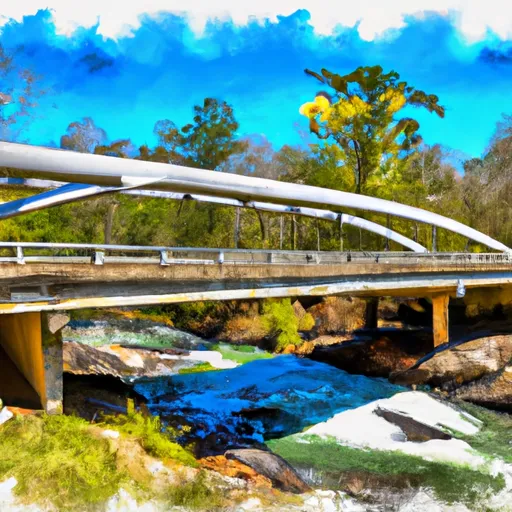
 Martin Branch Bridge To Robertsontown Bridge On Ga Highway 356
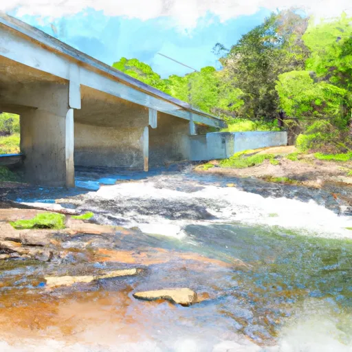
 Old Turnpike Crossing To Martin Branch Bridge
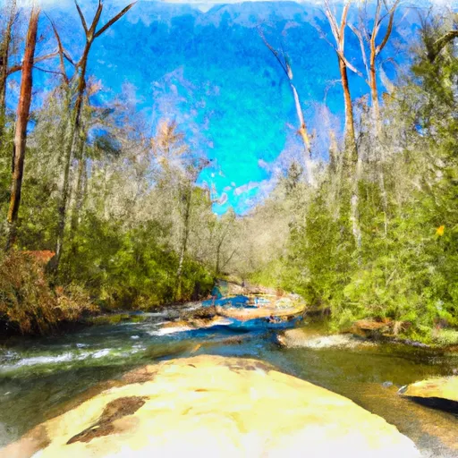
 Mark Trail Wilderness Boundry To Old Turnpike Crossing Near Vandiver Branch
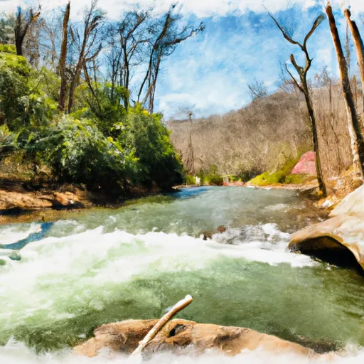
 Source Near Chattahoochee Gap To Mark Trail Wilderness Boundary