

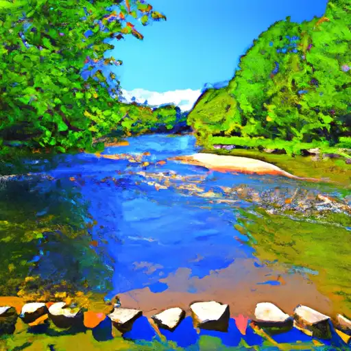
Oquaga Creek
Last Updated: May 1, 2026
Maximum discharge along the river is currently at the reporting a streamflow rate of cfs. This is also the highest stage along the Oquaga Creek, with a gauge stage of ft at this location. This river is monitored from 0 different streamgauging stations along the Oquaga Creek, the highest being situated at an altitude of ft, the .
Oquaga Creek is a waterway that flows through the Southern Tier and Central New York regions of the United States.
15-Day Long Term Forecast
River Streamflow Levels
| Streamgauge | Streamflow | Gauge Stage | 24hr Change (%) | % Normal | Minimum (cfs) | Maximum (cfs) | Air Temp | Elevation |
|---|
Seasonal Discharge Comparison
Maximum Streamflow Discharge
Streamflow Elevation Profile
Oquaga Creek State Park is a 1,385-acre (5.60 km2) state park in Broome, Delaware, and Chenango counties, New York. The park is partially in the Town of Masonville and partly in the Town of Sanford. Broome County Road 241 passes through the park.
 Kinney Lake State Wildlife Area
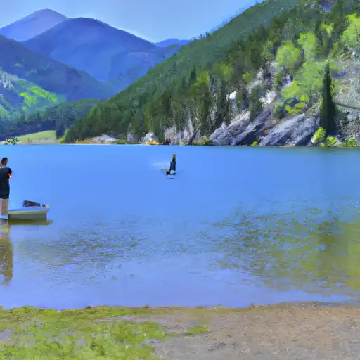 Kinney Lake SWA
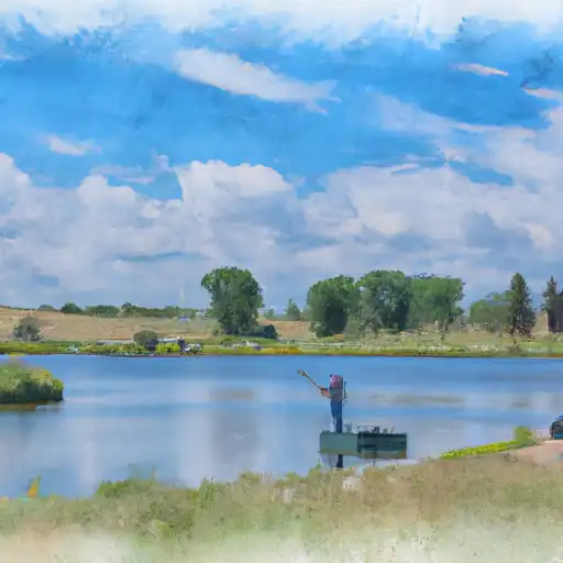 Hugo SWA Ponds
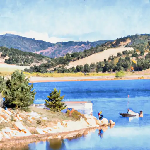 Karval Reservoir