Summary
Maximum discharge along the river is currently at the reporting a streamflow rate of cfs. This is also the highest stage along the Queets River, with a gauge stage of ft at this location. This river is monitored from 1 different streamgauging stations along the Queets River, the highest being situated at an altitude of ft, the .
15-Day Weather Outlook
River Streamflow Levels
| Streamgauge | Streamflow | Gauge Stage | 24hr Change (%) | % Normal | Minimum (cfs) | Maximum (cfs) | Air Temp | Elevation |
|---|---|---|---|---|---|---|---|---|
|
Queets River Near Clearwater
USGS 12040500 |
4590 cfs | 9.84 ft | -16.24 |
Seasonal Discharge Comparison
Maximum Streamflow Discharge
Streamflow Elevation Profile
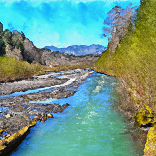
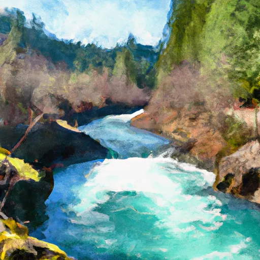
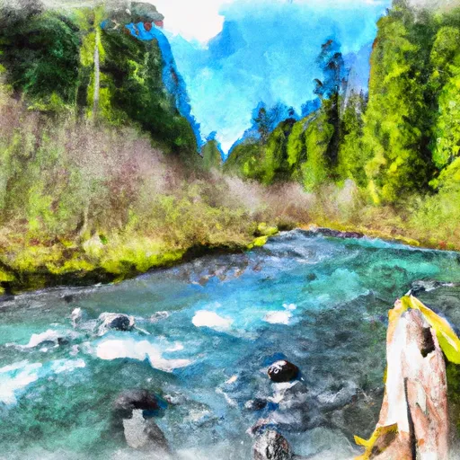
The Queets River is a river in the U.S. state of Washington. It is located on the Olympic Peninsula, mostly within the Olympic National Park and empties into the Pacific Ocean.
The Queets River is 52.8 miles (85.0 km) long. Its drainage basin is 204 square miles (530 km2) in area. Its main tributaries include the Clearwater River, Salmon River, Sams River, Matheny Creek, and Tshetshy Creek, as well as the Clearwater's main tributaries, the Snahapish River and Solleks River.
Regional Streamflow Levels
725
Cubic Feet Per Second
1,820
Cubic Feet Per Second
558
Cubic Feet Per Second
3,920
Cubic Feet Per Second
River Runs
-
 Headwaters And Includes All Tributaries To Confluence With Hoh River
-
 Headwaters At About 4500 Feet In The Queets Basin From Glaciers On The Mount Olympus Massif And From The Queets Glacier On Mount Queets. To Southwestern Boundary Of Olympic National Park At End Of "Queets Corridor"
-
 Headwaters To Former Backwaters Of Lake Mills Created By The Former Glines Canyon Dam
-
 Headwaters At 4000 Ft To Beginning Of Hoh River Trial And End Of Upper Hoh Road.
