Summary
Maximum discharge along the river is currently at the reporting a streamflow rate of cfs. This is also the highest stage along the Shields River, with a gauge stage of ft at this location. This river is monitored from 1 different streamgauging stations along the Shields River, the highest being situated at an altitude of ft, the .
15-Day Weather Outlook
River Streamflow Levels
| Streamgauge | Streamflow | Gauge Stage | 24hr Change (%) | % Normal | Minimum (cfs) | Maximum (cfs) | Air Temp | Elevation |
|---|---|---|---|---|---|---|---|---|
|
Shields River Nr Livingston Mt
USGS 06195600 |
116 cfs | 1.16 ft | -12.78 |
Seasonal Discharge Comparison
Maximum Streamflow Discharge
Streamflow Elevation Profile
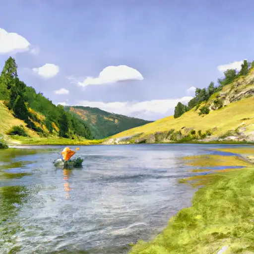
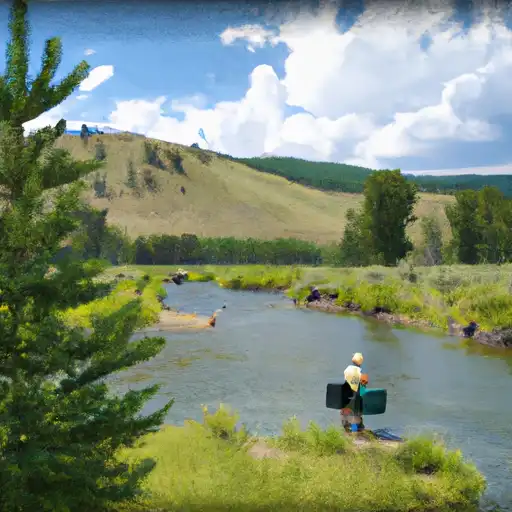
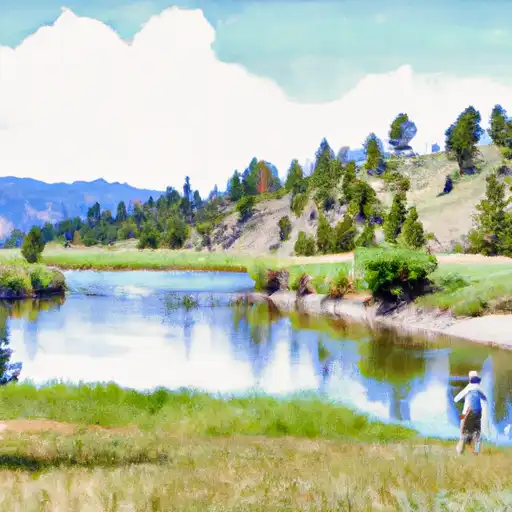
The Shields River is a tributary of the Yellowstone River, 65.4 miles (105.3 km) long, in Meagher and Park Counties Montana in the United States.
It rises in the Gallatin National Forest in the Crazy Mountains in northern Park County. It flows west, then south, between the Bridger Range to the west and the Crazy Mountains to the east, past Wilsall and Clyde Park. It joins the Yellowstone approximately 10 mi (16 km) northeast of Livingston.
The Shields River was named for John Shields (explorer), a member of the Lewis and Clark Expedition.The river hosts native Yellowstone cutthroat trout and Mountain whitefish as well as introduced brown and rainbow trout.

 Green Canyon Creek
 East Fork Spring Creek
 Brackett Creek
 Campfire Lake