

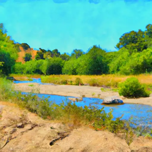
Stevens Creek
Last Updated: May 1, 2026
Maximum discharge along the river is currently at the reporting a streamflow rate of cfs. This is also the highest stage along the Stevens Creek, with a gauge stage of ft at this location. This river is monitored from 0 different streamgauging stations along the Stevens Creek, the highest being situated at an altitude of ft, the .
Stevens Creek is a 22-mile long waterway in the Santa Clara Valley, California, that flows from the Santa Cruz Mountains into the San Francisco Bay.
15-Day Long Term Forecast
River Streamflow Levels
| Streamgauge | Streamflow | Gauge Stage | 24hr Change (%) | % Normal | Minimum (cfs) | Maximum (cfs) | Air Temp | Elevation |
|---|
Seasonal Discharge Comparison
Maximum Streamflow Discharge
Streamflow Elevation Profile
Stevens Creek is a creek in Santa Clara County, California. The creek originates in the Santa Cruz Mountains on the western flank of Black Mountain in the Monte Bello Open Space Preserve near the terminus of Page Mill Road at Skyline Boulevard. It flows southeasterly through the Stevens Creek County Park before turning northeast into Stevens Creek Reservoir. It then continues north for 12.5 miles through Cupertino, Los Altos, Sunnyvale and Mountain View before emptying into the San Francisco Bay at the Whisman Slough, near Google's main campus.