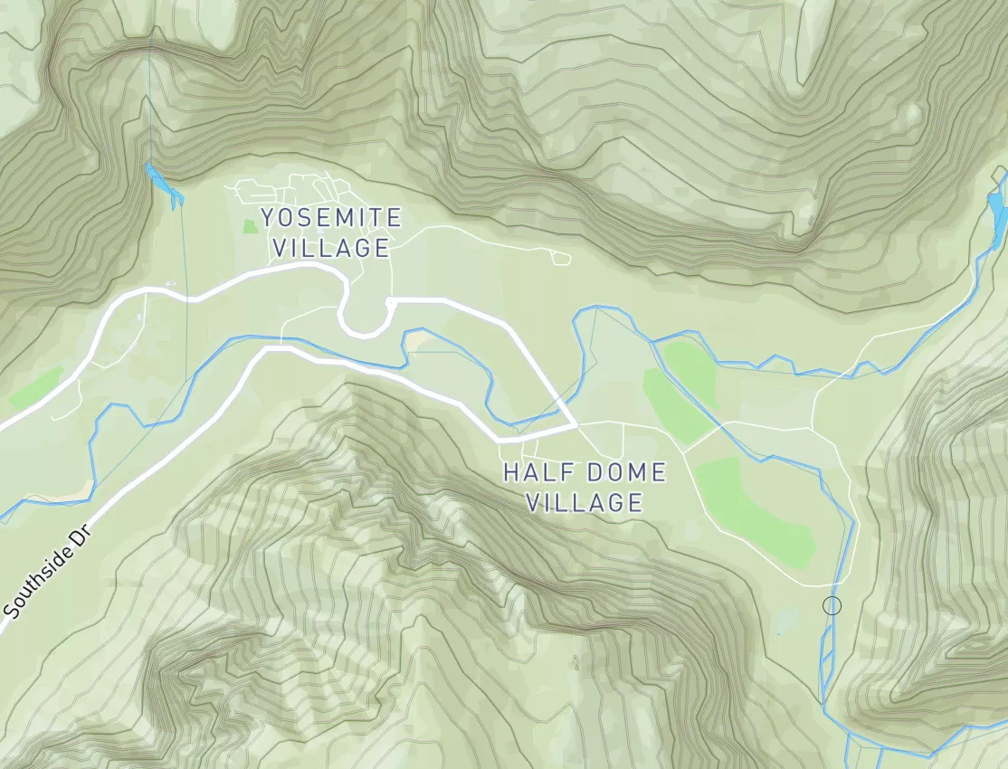

Swan River
Last Updated: April 25, 2026
Total streamflow across the
Swan River
was last observed at
1,960
cfs, and is expected to yield approximately
3,888
acre-ft of water today; about 148%
of normal.
River levels are high.
Average streamflow for this time of year is
1,326 cfs,
with recent peaks last observed
on
2022-06-22 when daily discharge volume was observed at
7,050 cfs.
Maximum discharge along the river is currently at the
Swan River Near Bigfork Mt
reporting a streamflow rate of 1,960 cfs.
This is also the highest stage along the Swan River, with a gauge stage of
3.8 ft at this location.
This river is monitored from 2 different streamgauging stations along the Swan River, the highest being situated at an altitude of 3,081 ft, the
Swan River Near Bigfork Mt.
The Swan River is a significant river in Western Australia, running approximately 65 kilometers from its source in the Perth Hills to the Indian Ocean.
15-Day Long Term Forecast
River Details
| Last Updated | 2026-04-25 |
| Discharge Volume | 3,888 ACRE-FT |
| Streamflow |
1,960.0 cfs
Past 24 Hours: +100.0 cfs (+5.38%) |
| Percent of Normal | 147.78% |
| Maximum |
7,050.0 cfs
2022-06-22 |
| Seasonal Avg | 1,326 cfs |
River Streamflow Levels
| Streamgauge | Streamflow | Gauge Stage | 24hr Change (%) | % Normal | Minimum (cfs) | Maximum (cfs) | Air Temp | Elevation |
|---|---|---|---|---|---|---|---|---|
|
Swan River Near Bigfork Mt
USGS 12370000 |
1960 cfs | 3.8 ft | 12.05 | |||||
|
Swan River At East Patchogue Ny
USGS 01305500 |
13 cfs | 0.53 ft | -3.65 |
Seasonal Discharge Comparison
Maximum Streamflow Discharge
Streamflow Elevation Profile
The Swan River is a river in the south west of Western Australia. Its Aboriginal Noongar name is the Derbarl Yerrigan. The river runs through the metropolitan area of Perth, Western Australia's capital and largest city.

 Continue with Snoflo Premium