
Thompson River
Last Updated: May 3, 2026
Total streamflow across the
Thompson River
was last observed at
2,144
cfs, and is expected to yield approximately
4,253
acre-ft of water today; about 71%
of normal.
Average streamflow for this time of year is
3,040 cfs,
with recent peaks last observed
on
2014-09-11 when daily discharge volume was observed at
89,587 cfs.
Maximum discharge along the river is currently at the
Thompson River At Trenton
reporting a streamflow rate of 1,430 cfs.
This is also the highest stage along the Thompson River, with a gauge stage of
12.44 ft at this location.
This river is monitored from 3 different streamgauging stations along the Thompson River, the highest being situated at an altitude of 2,440 ft, the
Thompson River Near Thompson Falls Mt.
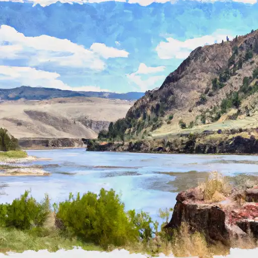
The Thompson River is a major tributary of the Fraser River, flowing 489 km through British Columbia, Canada.
15-Day Long Term Forecast
River Details
| Last Updated | 2026-05-03 |
| Discharge Volume | 4,253 ACRE-FT |
| Streamflow |
2,144.0 cfs
Past 24 Hours: -185.0 cfs (-7.94%) |
| Percent of Normal | 70.52% |
| Maximum |
89,587.0 cfs
2014-09-11 |
| Seasonal Avg | 3,040 cfs |
River Streamflow Levels
| Streamgauge | Streamflow | Gauge Stage | 24hr Change (%) | % Normal | Minimum (cfs) | Maximum (cfs) | Air Temp | Elevation |
|---|---|---|---|---|---|---|---|---|
|
Thompson River Near Thompson Falls Mt
USGS 12389500 |
714 cfs | 3.85 ft | 3.63 | |||||
|
Thompson River At Davis City
USGS 06898000 |
348 cfs | 1.9 ft | -13.43 | |||||
|
Thompson River At Trenton
USGS 06899500 |
1430 cfs | 12.44 ft | -12.8 |
Seasonal Discharge Comparison
Maximum Streamflow Discharge
Streamflow Elevation Profile
The Thompson River is the largest tributary of the Fraser River, flowing through the south-central portion of British Columbia, Canada. The Thompson River has two main branches, the South Thompson River and the North Thompson River. The river is home to several varieties of Pacific salmon and trout. The area's geological history was heavily influenced by glaciation, and the several large glacial lakes have filled the river valley over the last 12,000 years. Archaeological evidence shows human habitation in the watershed dating back at least 8,300 years. The Thompson was named by Fraser River explorer, Simon Fraser, in honour of his friend, Columbia Basin explorer David Thompson. Recreational use of the river includes whitewater rafting and angling.

 Continue with Snoflo Premium