
TUOLUMNE RIVER
Last Updated: May 10, 2026
Total streamflow across the
Tuolumne River
was last observed at
14,400
cfs, and is expected to yield approximately
28,562
acre-ft of water today; about 100%
of normal.
Average streamflow for this time of year is
14,343 cfs,
with recent peaks last observed
on
2023-05-26 when daily discharge volume was observed at
51,230 cfs.
Maximum discharge along the river is currently at the
Tuolumne R Bl Early Intake Nr Mather Ca
reporting a streamflow rate of 4,890 cfs.
However, the streamgauge with the highest stage along the river is the
Tuolumne R A Modesto Ca
with a gauge stage of 36.96 ft.
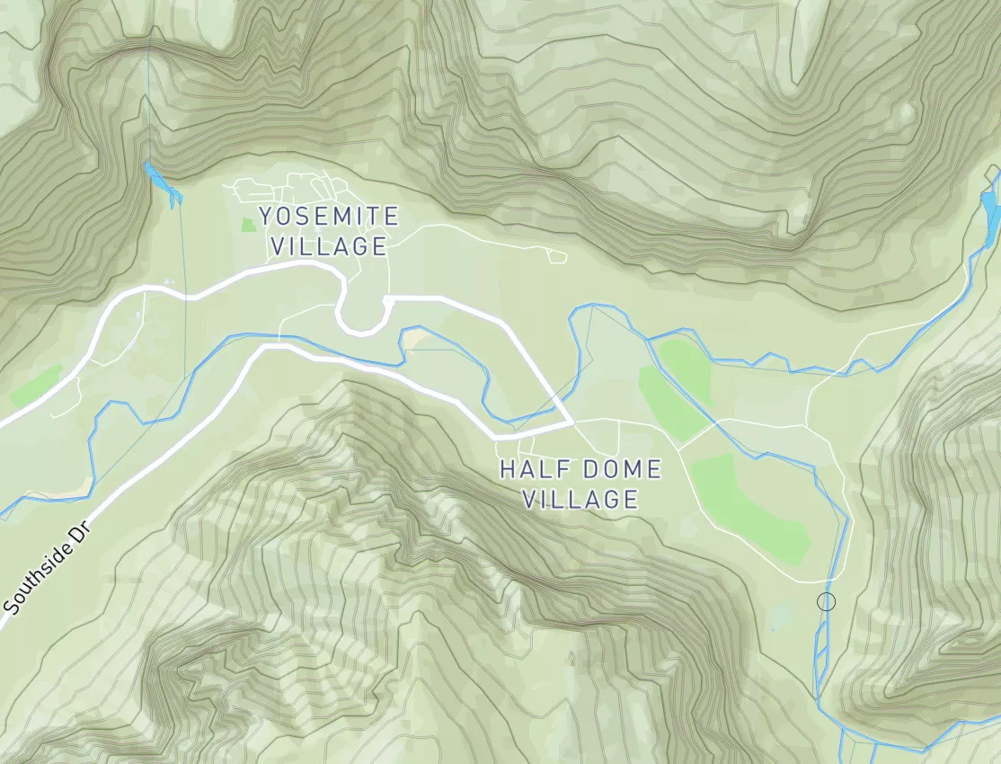
This river is monitored from 6 different streamgauging stations along the Tuolumne River, the highest being situated at an altitude of 3,831 ft, the
Tuolumne R A Grand Cyn Of Tuolumne Ab Hetch Hetchy.
Get the latest River Levels, Streamflow, and Hydrology for in River flows across 6 streamgages of the Tuolumne River
15-Day Long Term Forecast
River Details
| Last Updated | 2026-05-09 |
| Discharge Volume | 28,562 ACRE-FT |
| Streamflow |
14,400.0 cfs
Past 24 Hours: +5170.0 cfs (+56.01%) |
| Percent of Normal | 100.4% |
| Maximum |
51,230.0 cfs
2023-05-26 |
| Seasonal Avg | cfs |
River Streamflow Levels
| Streamgauge | Streamflow | Gauge Stage | 24hr Change (%) | % Normal | Minimum (cfs) | Maximum (cfs) | Air Temp | Elevation |
|---|---|---|---|---|---|---|---|---|
|
Tuolumne R A Grand Cyn Of Tuolumne Ab Hetch Hetchy
USGS 11274790 |
1990 cfs | 12.87 ft | 6.99 | |||||
|
Tuolumne R Nr Hetch Hetchy Ca
USGS 11276500 |
3570 cfs | 9.82 ft | 63.01 | |||||
|
Tuolumne R Ab Early Intake Nr Mather Ca
USGS 11276600 |
3950 cfs | 18.31 ft | 73.25 | |||||
|
Tuolumne R Bl Early Intake Nr Mather Ca
USGS 11276900 |
4890 cfs | 8.45 ft | 68.62 | |||||
|
Tuolumne R Bl Lagrange Dam Nr Lagrange Ca
USGS 11289650 |
186 cfs | 4.43 ft | -6.53 | |||||
|
Tuolumne R A Modesto Ca
USGS 11290000 |
221 cfs | 36.96 ft | -7.53 |
Seasonal Discharge Comparison
Maximum Streamflow Discharge
Streamflow Elevation Profile
The river has a rich history, having been home to indigenous communities for thousands of years and later serving as a vital transportation route during the California Gold Rush. Today, the river is used for agricultural irrigation and hydropower generation. It is also home to several reservoirs and dams, including the Don Pedro Dam, the New Don Pedro Reservoir, and the Hetch Hetchy Reservoir. These provide drinking water to the San Francisco Bay Area and irrigation water to the Central Valley. The Tuolumne River is also popular for recreational activities such as fishing, camping, hiking, and whitewater rafting.

 Kinney Lake State Wildlife Area
 Kinney Lake SWA
 Hugo SWA Ponds
 Karval Reservoir
 Continue with Snoflo Premium