
Waccamaw River
Last Updated: May 7, 2026
Total streamflow across the
Waccamaw River
was last observed at
37
cfs, and is expected to yield approximately
74
acre-ft of water today; about 4%
of normal.
River levels are low and may signify a drought.
Average streamflow for this time of year is
1,031 cfs,
with recent peaks last observed
on
2018-09-22 when daily discharge volume was observed at
126,300 cfs.
Maximum discharge along the river is currently at the
Waccamaw River At Conway Marina At Conway
reporting a streamflow rate of 2,260 cfs.
This is also the highest stage along the Waccamaw River, with a gauge stage of
6.93 ft at this location.
This river is monitored from 3 different streamgauging stations along the Waccamaw River, the highest being situated at an altitude of 42 ft, the
Waccamaw River At Conway Marina At Conway.
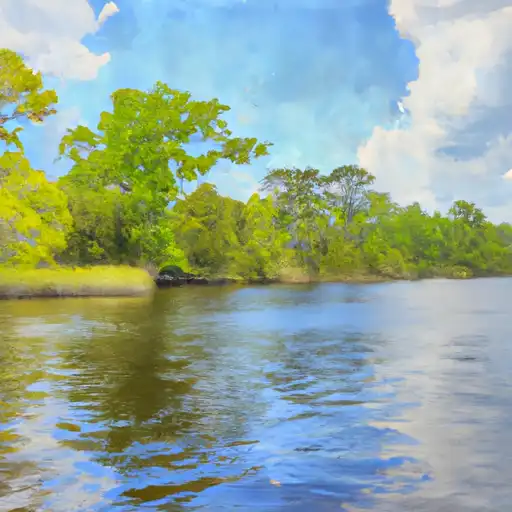
The Waccamaw River is a blackwater river that runs for 140 miles from North Carolina to South Carolina, eventually empties into the Atlantic Ocean.
15-Day Long Term Forecast
River Details
| Last Updated | 2026-05-07 |
| Discharge Volume | 74 ACRE-FT |
| Streamflow |
37.1 cfs
Past 24 Hours: +1.1 cfs (+3.06%) |
| Percent of Normal | 3.6% |
| Maximum |
126,300.0 cfs
2018-09-22 |
| Seasonal Avg | 1,031 cfs |
River Streamflow Levels
| Streamgauge | Streamflow | Gauge Stage | 24hr Change (%) | % Normal | Minimum (cfs) | Maximum (cfs) | Air Temp | Elevation |
|---|---|---|---|---|---|---|---|---|
|
Waccamaw River At Conway Marina At Conway
USGS 02110704 |
2260 cfs | 6.93 ft | -1.74 | |||||
|
Waccamaw River Near Longs
USGS 02110500 |
37 cfs | 0.97 ft | -2.96 | |||||
|
Waccamaw River At Freeland
USGS 02109500 |
16 cfs | 1.58 ft | -17.78 |
Seasonal Discharge Comparison
Maximum Streamflow Discharge
Streamflow Elevation Profile
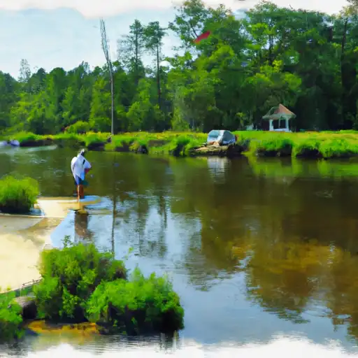
The Waccamaw River is a river, approximately 140 miles (225 km) long, in southeastern North Carolina and eastern South Carolina in the United States. It drains an area of approximately 1110 square miles (2886 km²) in the coastal plain along the eastern border between the two states into the Atlantic Ocean. Along its upper course, it is a slow-moving, blackwater river surrounded by vast wetlands, passable only by shallow-draft watercraft such as canoe. Along its lower course, it is lined by sandy banks and old plantation houses, providing an important navigation channel with a unique geography, flowing roughly parallel to the coast.

 Black Creek
 Apricot Creek
 Sloan’s Bridge Boating Access Area
 Continue with Snoflo Premium