Summary
Total streamflow across the
Wynoochee River
was last observed at
2,883
cfs, and is expected to yield approximately
5,718
acre-ft of water today; about 98%
of normal.
Average streamflow for this time of year is
2,935 cfs,
with recent peaks last observed
on
2025-12-17 when daily discharge volume was observed at
22,850 cfs.
Maximum discharge along the river is currently at the
Wynoochee River Above Black Creek Nr Montesano
reporting a streamflow rate of 1,540 cfs.
This is also the highest stage along the Wynoochee River, with a gauge stage of
29.46 ft at this location.
This river is monitored from 3 different streamgauging stations along the Wynoochee River, the highest being situated at an altitude of 632 ft, the
Wynoochee River Near Grisdale.
15-Day Weather Outlook
River Details
| Last Updated | 2026-02-11 |
| Discharge Volume | 5,718 ACRE-FT |
| Streamflow |
2,883.0 cfs
-339.0 cfs (-10.52%) |
| Percent of Normal | 98.23% |
| Maximum |
22,850.0 cfs
2025-12-17 |
| Seasonal Avg | 2,935 cfs |
River Streamflow Levels
| Streamgauge | Streamflow | Gauge Stage | 24hr Change (%) | % Normal | Minimum (cfs) | Maximum (cfs) | Air Temp | Elevation |
|---|---|---|---|---|---|---|---|---|
|
Wynoochee River Near Grisdale
USGS 12035400 |
424 cfs | 1.8 ft | 0 | |||||
|
Wynoochee River Above Save Creek Near Aberdeen
USGS 12036000 |
919 cfs | 5.78 ft | -6.98 | |||||
|
Wynoochee River Above Black Creek Nr Montesano
USGS 12037400 |
1540 cfs | 29.46 ft | -14.92 |
Seasonal Discharge Comparison
Maximum Streamflow Discharge
Streamflow Elevation Profile
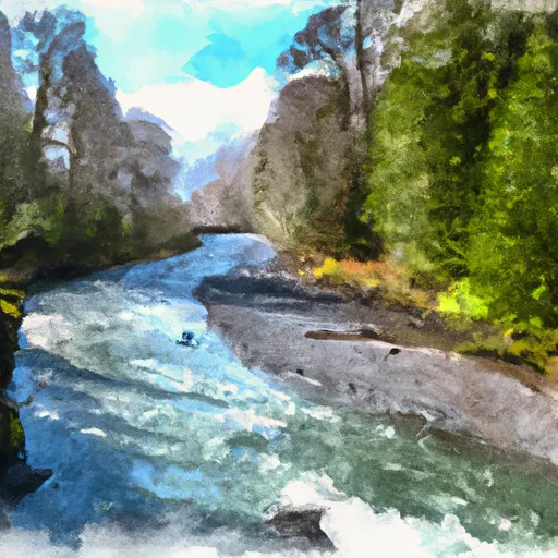
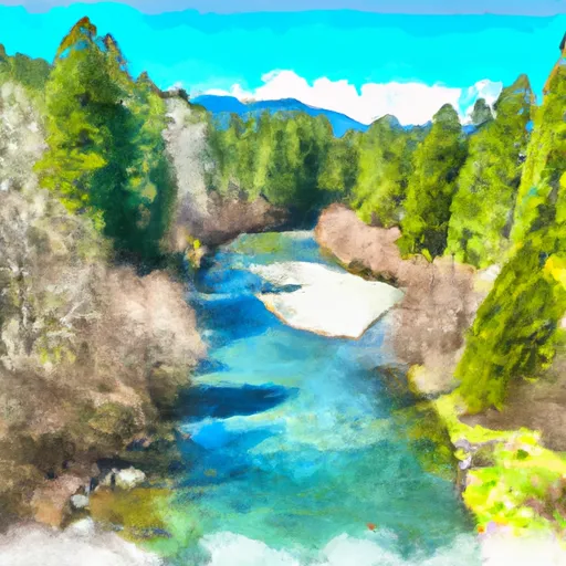
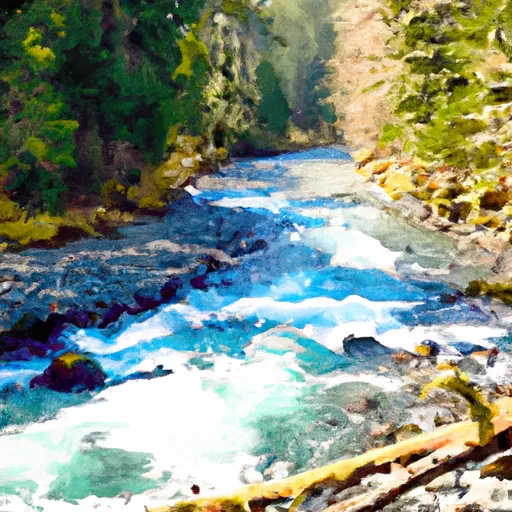
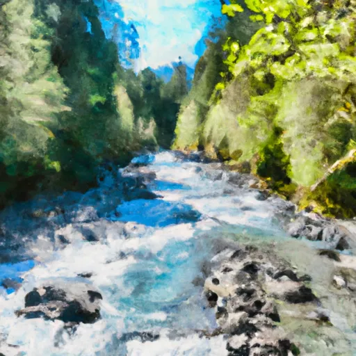
The Wynoochee River is a 60-mile (97 km) long river located in the Olympic Peninsula in the U.S. state of Washington. A tributary of the Chehalis River, the Wynoochee River rises in the Olympic Mountains within the Olympic National Park and flows generally south. Its drainage basin is 218 square miles (560 km2) in area. The name Wynoochee comes from the Lower Chehalis placename /xʷənúɬč/, meaning "shifting".
Regional Streamflow Levels
424
Cubic Feet Per Second
919
Cubic Feet Per Second
558
Cubic Feet Per Second
3,920
Cubic Feet Per Second
River Runs
-
 Headwaters And Includes All Tributaries To Confluence With Quinault River
-
 Headwaters And Includes All Tributaries To Confluence With Graves Creek
-
 Headwaters To Southern Boundary Of Olympic National Park
-
 Headwaters And Includes All Tributaries Downstream From The End Of Graves Creek Road And Confluence With Graves Creek To Western Boundary Of Olympic National Park
-
 Headwaters- Includes All Tributaries To Confluence With North Fork Skokomish River
