
Summary
Summers are hot and humid with temperatures averaging in the 90s and winter months are mild with temperatures in the 50s and 60s. The city sits on the banks of the Red River, which provides opportunities for outdoor recreation such as fishing, boating, and kayaking. Other outdoor recreational opportunities include walking and biking trails, golf courses, and parks. Alexandria draws its water supply from the Red River and an aquifer system, and water quality is monitored regularly for hydrology constituents. The city is also home to the Alexandria Zoological Park, which features a variety of animals and exhibits for visitors to enjoy.
Weather Forecast
Alexandria receives approximately 1501mm of rain per year, with humidity levels near 86% and air temperatures averaging around 19°C. Alexandria has a plant hardyness factor of 8, meaning plants and agriculture in this region tend to thrive here all year round.
 Rapides Coliseum
 Twin Lakes Military - Camp Beauregard
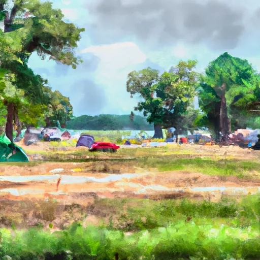
 Evangeline Camp
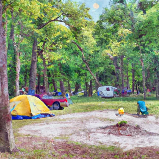
 Kincaid Lake Recreation Area, Camping/Day Use
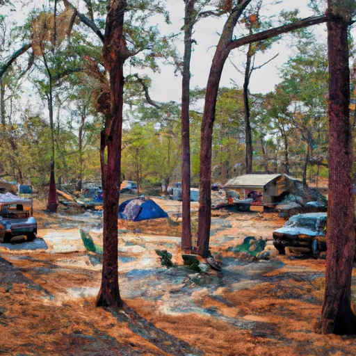
 Evangeline Camp Complex
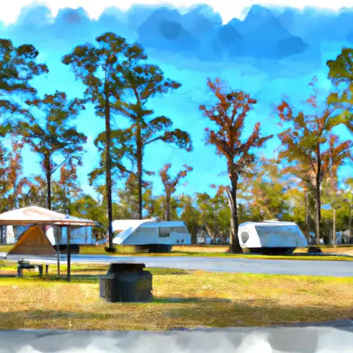
 Kincaid Complex