
Summary
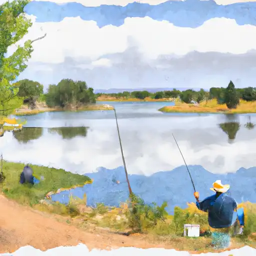
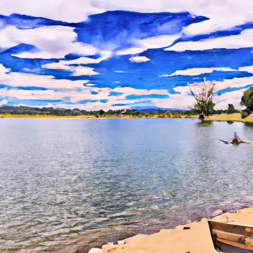
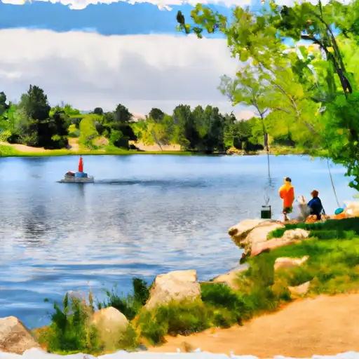
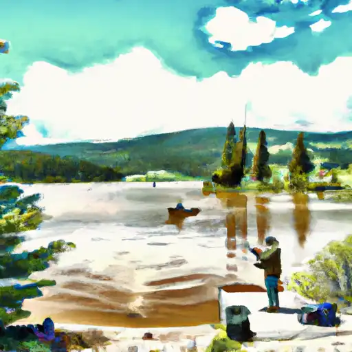
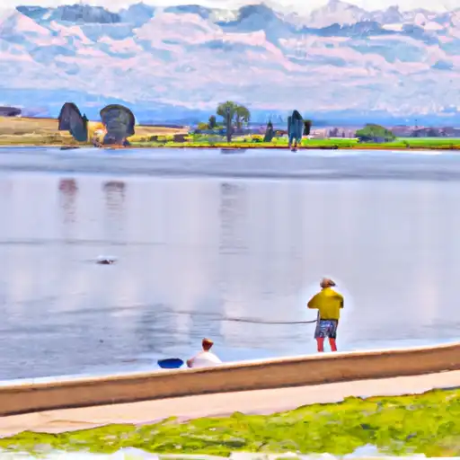
The climate in Arvada is semi-arid, with hot summers and cold winters. The city is situated along the banks of Ralston Creek, which is fed by runoff from the nearby Rocky Mountains. The hydrology constituents in the area include high levels of sediment and nutrients, which can affect water quality in local streams and rivers. Despite this, there are many opportunities for outdoor recreation in Arvada, including hiking, biking, and fishing. The city boasts over 90 parks and miles of trails, including the popular Apex Park and Van Bibber Open Space.
Weather Forecast
Arvada receives approximately 431mm of rain per year, with humidity levels near 50% and air temperatures averaging around 11°C. Arvada has a plant hardyness factor of 6, meaning plants and agriculture in this region thrive during a short period during spring and early summer. Most plants will die off during the colder winter months.
Area Campgrounds
| Location | Reservations | Toilets |
|---|---|---|
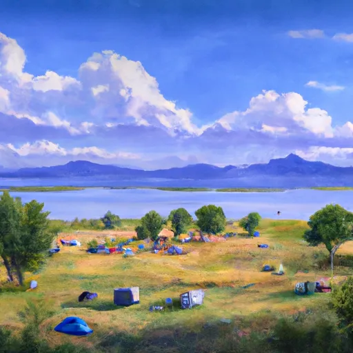 Standley Lake
|
||
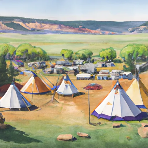 Tipi Village
|
||
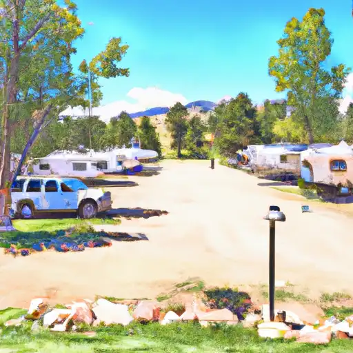 Clear Creek RV Park
|
||
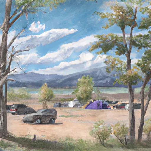 Bear Creek Lake Park
|
 Jack B. Tomlinson Park
 Ralston Cove Park
 Hoskinson Park
 Melman Park
 Marge Roberts Park
 Ward Road Pond
 Prospect Park Lakes (Wheatridge)
 Meadow Park Lake
 Berkeley Lake
 Crown Hill Lake