
Summary
The city experiences a humid subtropical climate with hot summers and mild winters. The Mississippi River runs through Baton Rouge, providing ample hydrological opportunities for water-based activities such as fishing, boating, and kayaking. The city is also home to several parks and nature reserves, including the Bluebonnet Swamp Nature Center and the Baton Rouge Zoo. Additionally, Baton Rouge is known for its vibrant food and music scene, with many restaurants and live music venues throughout the city.
Weather Forecast
Baton-Rouge receives approximately 1576mm of rain per year, with humidity levels near 89% and air temperatures averaging around 20°C. Baton-Rouge has a plant hardyness factor of 8, meaning plants and agriculture in this region tend to thrive here all year round.
 Seventh Street Senior Citizen Park
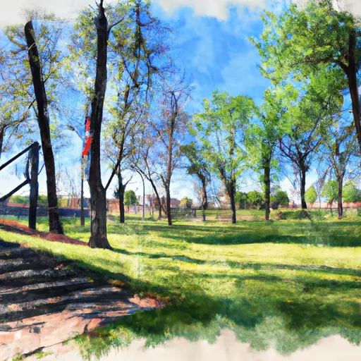 Arsenal Park
 Spanish Town Park
 North 14th Street Park
 Terrace Street Park