
Summary
The city is situated on the Cedar River, which provides a source of water for the community. The river has been subject to historic flooding, with the city experiencing significant damage in 2008. There are many outdoor recreation opportunities in Cedar Rapids, including hiking and biking trails, parks, and golf courses. The city is home to the Indian Creek Nature Center, which offers educational programs and events related to environmental conservation. Additionally, the Cedar Rapids Museum of Art features exhibits showcasing the natural beauty of the region.
Hourly Weather Forecast
Cedar-Rapids receives approximately 916mm of rain per year, with humidity levels near 79% and air temperatures averaging around 10°C. Cedar-Rapids has a plant hardyness factor of 5, meaning plants and agriculture in this region thrive during a short period during spring and early summer. Most plants will die off during the colder winter months.
Area Campgrounds
| Location | Reservations | Toilets |
|---|---|---|
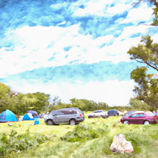 Morgan Creek County Park
|
||
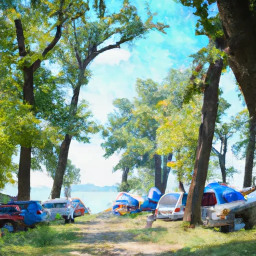
 Squaw Creek County Park
|
||
 Palisades Kepler State Park
|
 Sinclair Park
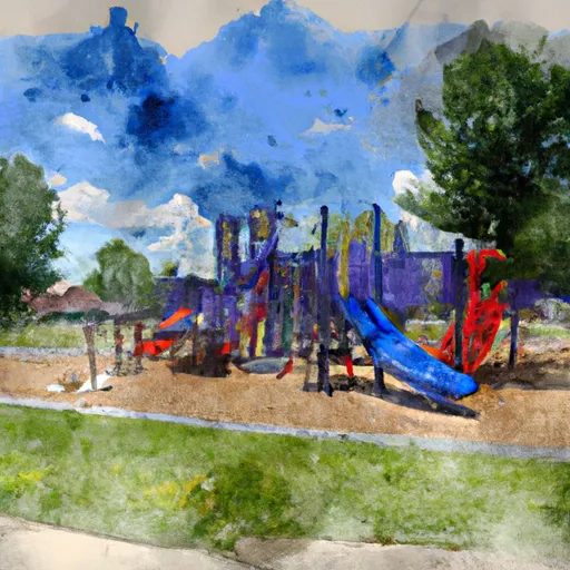
 Riverside Playground
 Van Vechten Park
 Iroquois Park
 Alandale Park Playground