
Summary
The city is located near the South River, which is a tributary of the Ocmulgee River. As with many metropolitan areas, stormwater runoff is a concern for water quality. Outdoor recreation opportunities in Decatur include several parks such as Glenlake Park and Decatur Square. There are also several miles of trails for hiking and biking, including the PATH Foundation Trail and the Arabia Mountain Trail. The city also has an active community garden program and hosts several events throughout the year, including the Decatur Arts Festival and the Decatur BBQ Blues & Bluegrass Festival.
°F
°F
mph
Wind
%
Humidity
15-Day Weather Outlook
5-Day Hourly Forecast Detail
Decatur receives approximately 1285mm of rain per year, with humidity levels near 81% and air temperatures averaging around 16°C. Decatur has a plant hardyness factor of 7, meaning plants and agriculture in this region tend to thrive during the non-winter months.
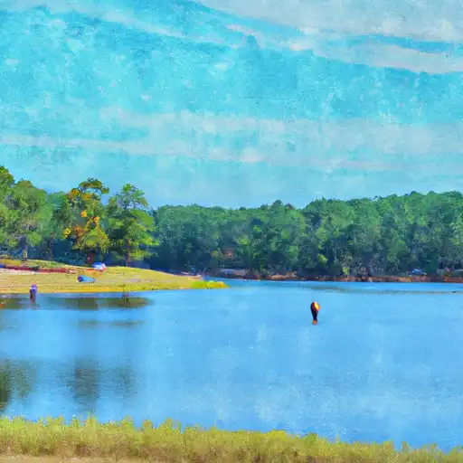
 Glenn Lake Park
 Lanier Gardens
 McKoy Park
 Parkside Circle
 Oakview Road Park
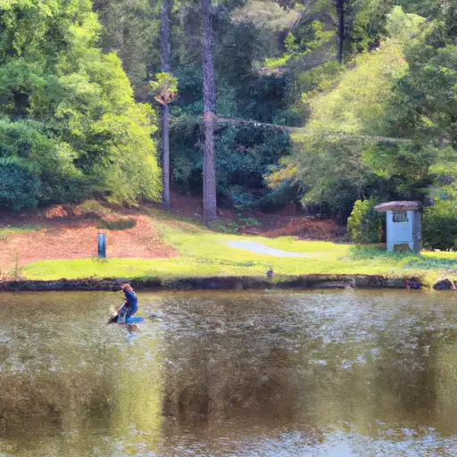
 Buena Vista Lake
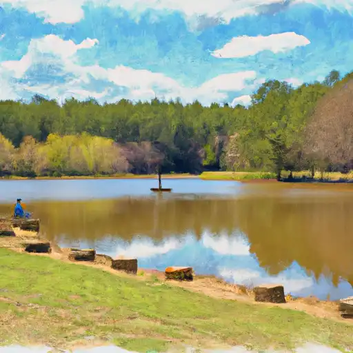
 Lake To-Lani
 Chapel Hill Park
 Murphey Candler Park