Decatur

Climate Recreation Community Catastrophe

Decatur
Eden Index

Climate 8.1 Recreation 3.1 Community 1.9 Safeguard

4.8/10

Decatur, Illinois is a city located in the central part of the state with a population of approximately 74,710 residents. Decatur has a humid continental climate with hot summers and cold winters. The city is located near the Sangamon River, which is a major tributary of the Illinois River. The Sangamon River is known to contain high levels of nitrogen and phosphorus due to agricultural practices in the surrounding areas. Outdoor recreation opportunities in Decatur include hiking and biking trails, fishing and boating on area lakes and rivers, and golfing at one of the many local courses. The city also has several parks and nature preserves for residents to enjoy.

What is the Eden Index?

The Snoflo Eden Index serves as a comprehensive rating system for regions, evaluating their desirability through a holistic assessment of climate health, outdoor recreation opportunities, and natural disaster risk, acknowledging the profound impact of these factors on livability and well-being.


Climate Health Indicator (CHI): 8.1


Decatur receives approximately 1000mm of rain per year, with humidity levels near 84% and air temperatures averaging around 12°C. Decatur has a plant hardyness factor of 5, meaning plants and agriculture in this region thrive during a short period during spring and early summer. Most plants will die off during the colder winter months.
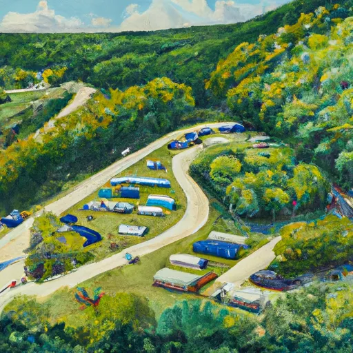
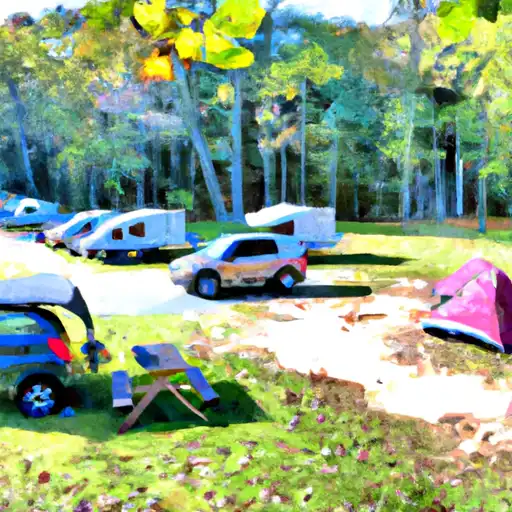
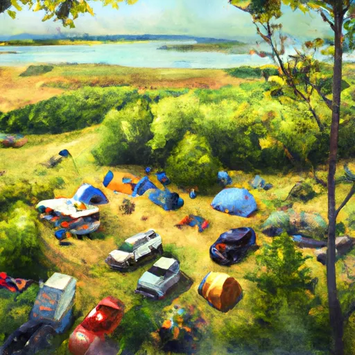
 By considering the ideal temperature range, reliable water supplies, clean air, and stable seasonal rain or snowpacks, the Climate Health Indicator (CHI) underscores the significance of a healthy climate as the foundation for quality living.

A healthy climate is paramount for ensuring a high quality of life and livability in a region, fostering both physical well-being and environmental harmony. This can be characterized by ideal temperatures, reliable access to water supplies, clean air, and consistent seasonal rain or snowpacks.


Weather Forecast


Streamflow Conditions

Lower Illinois

Area Rivers

Lower Illinois


Snowpack Depths

Lower Illinois


Reservoir Storage Capacity

Lower Illinois


Groundwater Levels


Recreational Opportunity Index (ROI): 3.1


The Recreational Opportunity Index (ROI) recognizes the value of outdoor recreational options, such as parks, hiking trails, camping sites, and fishing spots, while acknowledging that climate plays a pivotal role in ensuring the comfort and consistency of these experiences. Access to outdoor recreational opportunities, encompassing activities such as parks, hiking, camping, and fishing, is crucial for overall well-being, and the climate plays a pivotal role in enabling and enhancing these experiences, ensuring that individuals can engage in nature-based activities comfortably and consistently.


Camping Areas

Campground Campsites Reservations Toilets Showers Elevation
Lake Claude Bennett 31 414 ft
Marion Lake 1 9 1,640 ft
Keesler AFB Military 52 22 ft
Lake Boque Homa None 238 ft
Twiltley Branch - Okatibbee Lake None 421 ft
Comlara County Park 137 756 ft
Moodys Landing 7 135 ft
Langlade County Veterans Memorial Park None 1,660 ft
Maynor Creek Waterpark None 362 ft
Ada Lake 27 1,672 ft
Imp Lake 22 1,712 ft
Airey Lake None 170 ft
Starved Rock State Park 135 511 ft
Weldon Springs State Park 75 717 ft
Golden Lake 22 1,646 ft
Flint Creek Waterpark 156 246 ft
West Lake - Sleeping Giant Provincial Park 10 753 ft
Burned Dam 5 1,593 ft
Sparrow Rapids 6 1,157 ft
Dunns Falls Water Park None 269 ft
Janice Rec.Area 7 116 ft
Courtney Lake 21 1,186 ft
Gulf Marine State Park None 6 ft
Richardson Lake 26 1,599 ft
Coon Creek - Shelbyville Lake 230 666 ft
Brule River 11 1,541 ft
Bob Lake 17 1,207 ft
Mary Louise Lake - Sleeping Giant Provincial Park 170 767 ft
Tepee Lake None 1,620 ft
Clinton Lake State Rec Area 310 725 ft
Moraine View State Park 200 853 ft
Lake Ste. Kathryn 24 1,576 ft
Davis Bayou - Gulf Islands National Seashore 52 19 ft
Laurel Lake 12 1,634 ft
Lake Perry 20 157 ft
Cypress Creek Landing 17 103 ft
Friends Creek Regional Park 35 693 ft
Marion Lake 2 30 1,649 ft
Shields RV Military - Gulfport NCB None 26 ft
Lake Ottawa 32 1,573 ft
Illini State Park None 563 ft
Bond Falls Flowage 36 1,443 ft
Opossum Creek - Shelbyville Lake 80 654 ft
Fairley Bridge Landing 6 88 ft
Stephen A. Forbes State Park 135 604 ft
Big Biloxi Rec Area 31 50 ft
Ramsey Lake State Park 160 628 ft
Faries Park 37 618 ft
Emily Lake State Forest 9 1,229 ft
High Lake County Park 7 1,619 ft

Catastrophe Safeguard Index (CSI):


The Catastrophe Safeguard Index (CSI) recognizes that natural disaster risk, encompassing floods, fires, hurricanes, and tornadoes, can drastically affect safety and the overall appeal of an area. The level of natural disaster risk in a region significantly affects safety and the overall livability, with climate change amplifying these risks by potentially increasing the frequency and intensity of events like floods, fires, hurricanes, and tornadoes, thereby posing substantial challenges to community resilience and well-being.


Community Resilience Indicator (CRI): 1.9


The Community Resilience Indicator (CRI) recognizes that education, healthcare, and socioeconomics are crucial to the well-being of a region. The CRI acknowledges the profound impact of these elements on residents' overall quality of life. By evaluating educational resources, healthcare accessibility, and economic inclusivity, the index captures the essential aspects that contribute to a thriving community, fostering resident satisfaction, equity, and social cohesion.


Log Your Visit

When was your last visit to ?

Add a Photo

How was it? How were conditions?

Rate the


Submit

Leave A Review


Submit

Upload an Image


Favorite Limit Reached