
Summary
The climate is characterized by hot summers and mild winters with average temperatures ranging from 90°F in July to 30°F in January. The town is surrounded by several lakes and rivers, including the White River and Beaver Lake, which provide opportunities for fishing, kayaking, and boating. The area is also home to numerous hiking trails, including the Ozark Highlands Trail and the Lake Leatherwood Trail. Additionally, visitors can enjoy outdoor activities such as golfing, horseback riding, and zip-lining. The hydrology constituents of the region include limestone formations, springs, and caves, which contribute to the natural beauty of the area.
Weather Forecast
Eureka-Springs receives approximately 1151mm of rain per year, with humidity levels near 81% and air temperatures averaging around 15°C. Eureka-Springs has a plant hardyness factor of 6, meaning plants and agriculture in this region thrive during a short period during spring and early summer. Most plants will die off during the colder winter months.
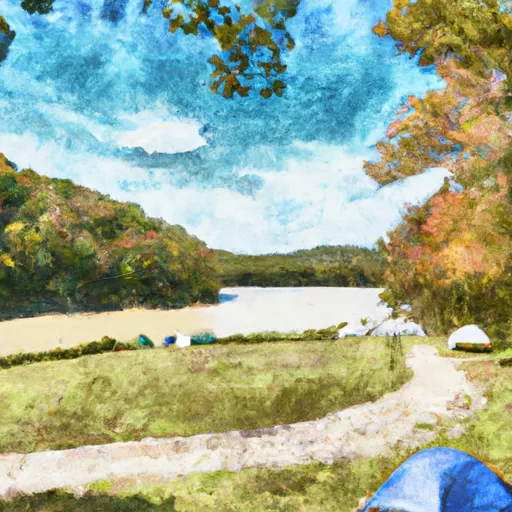 Lake Leatherwood City Park
 Beaver Town Park
 Dam Site Lake - Beaver Lake
 Dam Site River - Beaver Lake
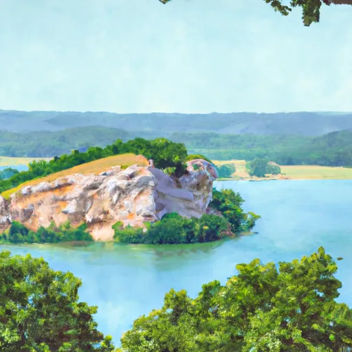 Eagle Rock - Table Rock Lake
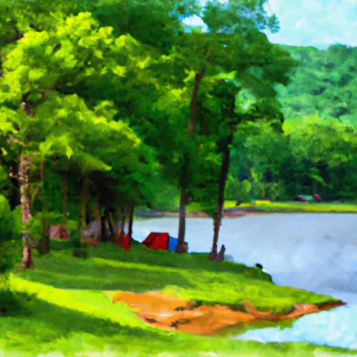 Indian Creek - Beaver Lake