
Summary
The city is home to Lake Lanier, a large reservoir that provides drinking water, hydroelectric power, and recreational opportunities for residents and visitors. The lake is also known for its fishing and boating opportunities. Other outdoor recreation opportunities in Gainesville include hiking at the Chicopee Woods Nature Preserve and golfing at one of the city's many courses. The city also has a vibrant downtown area with shops, restaurants, and cultural events throughout the year.
°F
°F
mph
Wind
%
Humidity
15-Day Weather Outlook
5-Day Hourly Forecast Detail
Gainesville receives approximately 1368mm of rain per year, with humidity levels near 85% and air temperatures averaging around 16°C. Gainesville has a plant hardyness factor of 7, meaning plants and agriculture in this region tend to thrive during the non-winter months.
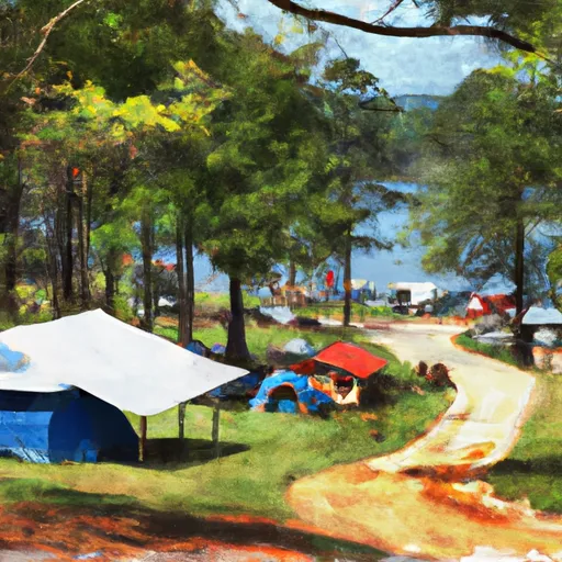
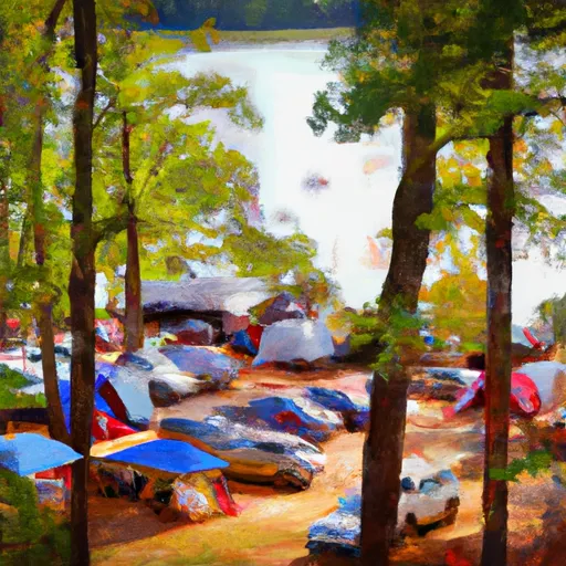 Laurel Park - Lake Lanier
 River Forks - Lake Lanier
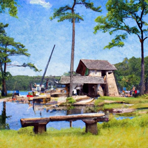 Duckett Mill - Lake Lanier
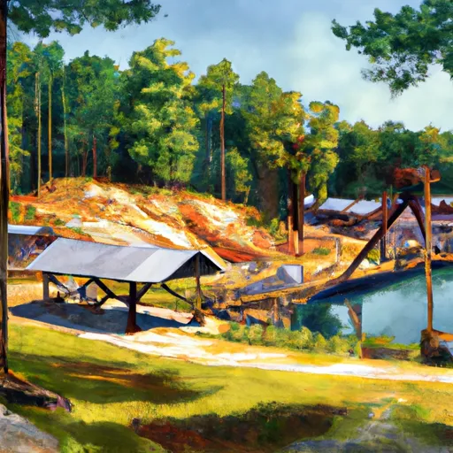 Bolding Mill - Lake Lanier
 War Hill - Lake Lanier
 Old Federal - Lake Lanier
 Fair Street Park
 Wessell Park
 Lanier Point Park
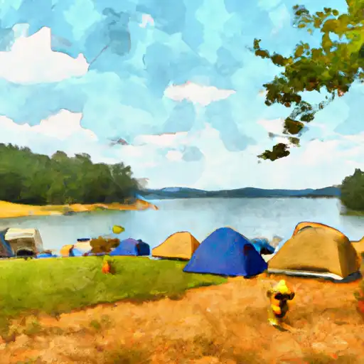
 Clarks Bridge Park
 River Forks Park