
Summary
Summers are warm and humid, with temperatures ranging from the mid-70s to low 90s Fahrenheit. Winters are cold, with temperatures dropping to the single digits and often accompanied by snowfall. Spring and fall seasons bring pleasant weather, with temperatures ranging from the 50s to 70s.
Situated on the Mississippi River, La Crosse benefits from its hydrological features. The river, along with nearby lakes and wetlands, provides ample opportunities for water-based activities such as boating, fishing, and canoeing. The region's hydrology also contributes to a rich biodiversity, creating a favorable habitat for various species of plants and wildlife.
La Crosse offers numerous outdoor recreation opportunities. The nearby Mississippi River provides opportunities for scenic cruises, kayaking, and paddleboarding. The area is also home to several beautiful hiking trails, such as Grandad Bluff Park and Hixon Forest, which offer stunning views of the city and the surrounding rolling hills. Cyclists can explore the 101-mile Great River State Trail, while golf enthusiasts can enjoy the numerous golf courses in the area. With its diverse climate, hydrology, and outdoor activities, La Crosse is a haven for nature lovers and adventure seekers.
Weather Forecast
La-Crosse receives approximately 870mm of rain per year, with humidity levels near 82% and air temperatures averaging around 8°C. La-Crosse has a plant hardyness factor of 4, meaning plants and agriculture in this region thrive during a short period during spring and early summer. Most plants will die off during the colder winter months.
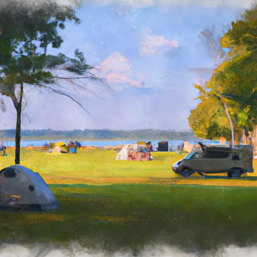 Goose Island Campground
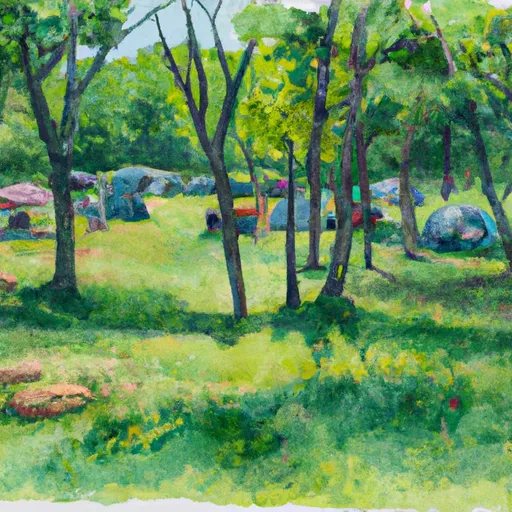
 Veterans Memorial County Park & Campground
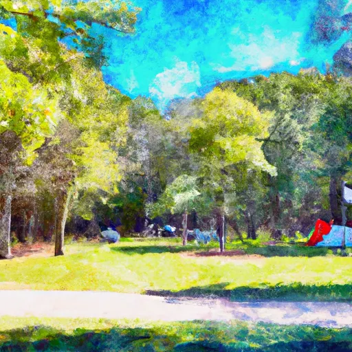
 WILDCAT PARK
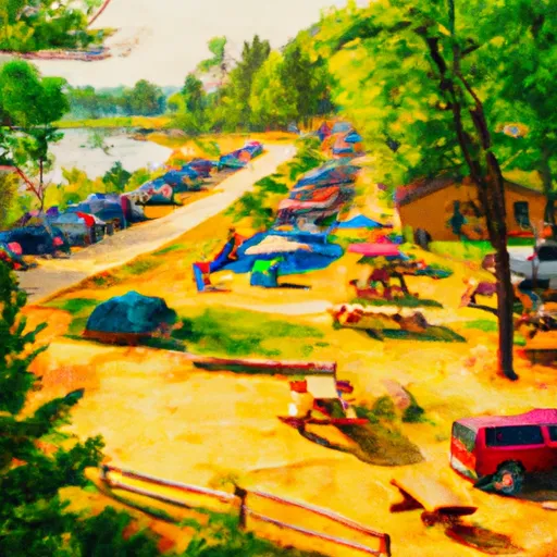
 Veterans Memorial Park - West Salem
 Neshonoc Lakeside Camp Resort
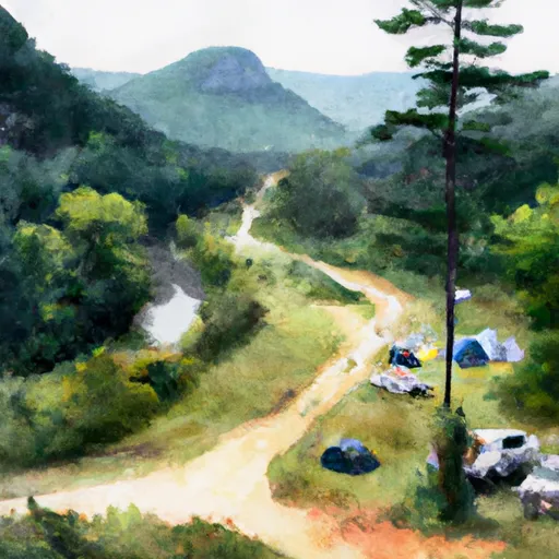 Upper Reno Pack In Campground
 Myrick Park
 Thomas G Rowe Park
 Brownsville City Park
 Great River Bluffs State Park