
Summary
The climate in Lincolnwood is characterized by warm summers and cold winters. Average summer temperatures range from 70-85°F, while winter temperatures hover around 15-35°F. Precipitation is relatively evenly distributed throughout the year, with an average of 36 inches annually.
Lincolnwood is not known for any significant hydrological features. However, the village does have several parks and green spaces that offer outdoor recreation opportunities. Proesel Park, for example, boasts walking paths, picnic areas, and sports fields. The 71-acre Laramie Park also offers playgrounds, tennis courts, and a swimming pool. Additionally, the nearby Skokie Lagoons, just a short drive away, provide scenic walking trails, fishing spots, and opportunities for canoeing and kayaking.
While Lincolnwood itself may not have any notable hydrological features, its proximity to parks and recreational areas allows residents and visitors to engage in a variety of outdoor activities, making it a desirable place for nature enthusiasts and those seeking recreational opportunities in the area.
Weather Forecast
Lincolnwood receives approximately 948mm of rain per year, with humidity levels near 83% and air temperatures averaging around 10°C. Lincolnwood has a plant hardyness factor of 5, meaning plants and agriculture in this region thrive during a short period during spring and early summer. Most plants will die off during the colder winter months.
 Rogers School Park
 Lunt Playlot Park
 Lerner Park
 Matanky Park
 Paschen Park
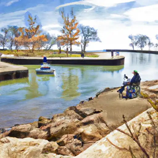 Wilmette Harbor
 Skokie Ditch
 Techny Reservoir
 Skokie Lagoons
 Axehead Lake