Maryville

Climate Recreation Community Catastrophe

Maryville
Eden Index

Climate 7.9 Recreation 7.3 Community 3.3 Safeguard

6.6/10

Maryville is a charming city located in Blount County, Tennessee. Known for its picturesque landscapes and mild climate, Maryville experiences a humid subtropical climate. Summers are hot and humid, with average temperatures ranging from the mid-80s to low 90s Fahrenheit. Winters are generally mild, with temperatures averaging in the mid-40s to low 50s.

The city is blessed with abundant water resources, with the Little River, Tellico River, and Chilhowee Lake being major hydrological constituents. These water bodies offer excellent opportunities for various water-based activities, such as fishing, boating, and swimming.

Outdoor enthusiasts will find plenty of recreational opportunities in Maryville. The Great Smoky Mountains National Park, located nearby, provides endless trails for hiking, biking, and wildlife spotting. The Maryville-Alcoa Greenway is a popular destination for walking, jogging, and cycling. Additionally, the city is home to several parks, such as Bicentennial Greenbelt Park and Sandy Springs Park, offering picnic areas, playgrounds, and open spaces for outdoor gatherings.

Overall, Maryville offers a pleasant climate, beautiful water resources, and diverse outdoor recreation opportunities, making it an ideal destination for nature lovers and adventure seekers.

What is the Eden Index?

The Snoflo Eden Index serves as a comprehensive rating system for regions, evaluating their desirability through a holistic assessment of climate health, outdoor recreation opportunities, and natural disaster risk, acknowledging the profound impact of these factors on livability and well-being.


Climate Health Indicator (CHI): 7.9


Maryville receives approximately 1276mm of rain per year, with humidity levels near 84% and air temperatures averaging around 15°C. Maryville has a plant hardyness factor of 7, meaning plants and agriculture in this region tend to thrive during the non-winter months.
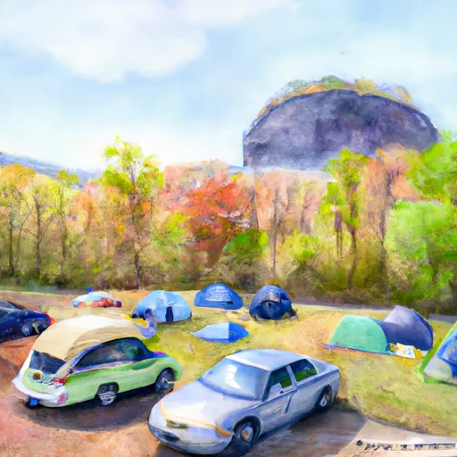
 By considering the ideal temperature range, reliable water supplies, clean air, and stable seasonal rain or snowpacks, the Climate Health Indicator (CHI) underscores the significance of a healthy climate as the foundation for quality living.

A healthy climate is paramount for ensuring a high quality of life and livability in a region, fostering both physical well-being and environmental harmony. This can be characterized by ideal temperatures, reliable access to water supplies, clean air, and consistent seasonal rain or snowpacks.


Weather Forecast


Streamflow Conditions

Upper Tennessee

Area Rivers

Upper Tennessee


Snowpack Depths

Upper Tennessee


Reservoir Storage Capacity

Upper Tennessee


Groundwater Levels


Recreational Opportunity Index (ROI): 7.3


The Recreational Opportunity Index (ROI) recognizes the value of outdoor recreational options, such as parks, hiking trails, camping sites, and fishing spots, while acknowledging that climate plays a pivotal role in ensuring the comfort and consistency of these experiences. Access to outdoor recreational opportunities, encompassing activities such as parks, hiking, camping, and fishing, is crucial for overall well-being, and the climate plays a pivotal role in enabling and enhancing these experiences, ensuring that individuals can engage in nature-based activities comfortably and consistently.


Camping Areas

Campground Campsites Reservations Toilets Showers Elevation
Hanging Dog 49 1,668 ft
Notchy Creek - Tellico Lake None 844 ft
Indian Boundary Rec Area 191 1,813 ft
Bald Ridge Creek None 1,097 ft
Indian Mountain State Park 49 959 ft
Shady Grove - Lake Lanier None 1,113 ft
Cove Lake State Park 100 1,041 ft
Yarberry Peninsula None 841 ft
Davis Branch 5 2,281 ft
Charleston - Lake Lanier None 1,185 ft
Double Camp/Citgo Creek 50 1,486 ft
Old Federal - Lake Lanier None 1,108 ft
Cheoah Point 26 1,990 ft
Morganton Point 82 1,753 ft
Mulky 11 2,172 ft
Duckett Mill - Lake Lanier None 1,163 ft
Big Ridge State Park 50 1,034 ft
Shoal Creek - Lake Lanier None 1,117 ft
River Forks - Lake Lanier 73 1,123 ft
Dam Creek 10 1,880 ft
Sawnee None 1,070 ft
Jake Best 7 1,195 ft
Levi Jackson Wilderness Road State Park 150 1,164 ft
Deep Hole 18 1,993 ft
Spivey Cove 17 2,009 ft
Norris Dam State Park None 1,262 ft
Bear Creek Hunt Camp 5 2,131 ft
Turkey Foot Rec Area 15 920 ft
State Line 10 2,602 ft
Lotterdale Cove None 881 ft
Holly Flats 17 1,935 ft
Vogel State Park None 2,323 ft
Poteete Creek None 1,832 ft
Holly Bay Rec Area 130 1,105 ft
War Hill - Lake Lanier 14 1,132 ft
Snowbird Camping 28 2,223 ft
Amicalola Falls State Park None 1,779 ft
North River Composite 31 1,970 ft
Toqua Beach - Tellico Lake 76 823 ft
S - Tree Rec Area 20 1,453 ft
Anderson County Park 72 1,078 ft
Dockery Lake 18 2,416 ft
Poland Creek 35 861 ft
Desoto Falls 44 2,195 ft
Boggs Creek 31 1,798 ft
Chestnut Ridge - Lake Lanier None 1,108 ft
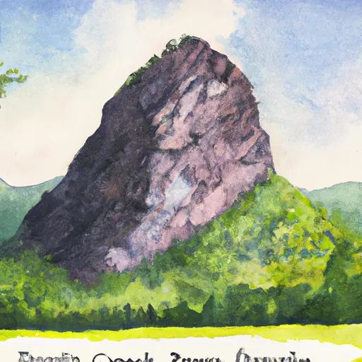
Look Rock - Great Smoky Mountains National Park
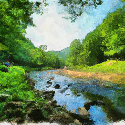
 68 2,476 ft
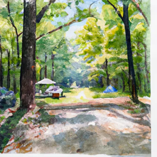
Abrams Creek - Great Smoky Mountains National Park 16 1,111 ft
Lake Winfield Scott 44 2,979 ft
Frank Gross 9 2,356 ft
Wood Creek Lake Ramp - DFWR None 1,032 ft
Horse Cove 17 2,052 ft
Grove Rec Area 53 1,190 ft
Fires Creek Hunt Camp 20 1,845 ft
Loyston Point 64 1,051 ft
James Shackleford County Park None 904 ft
Stone Mountain Park Campground 430 1,558 ft
Big Oak Cove 12 2,585 ft
Bolding Mill - Lake Lanier None 1,102 ft
Cooper Creek 17 2,164 ft

Catastrophe Safeguard Index (CSI):


The Catastrophe Safeguard Index (CSI) recognizes that natural disaster risk, encompassing floods, fires, hurricanes, and tornadoes, can drastically affect safety and the overall appeal of an area. The level of natural disaster risk in a region significantly affects safety and the overall livability, with climate change amplifying these risks by potentially increasing the frequency and intensity of events like floods, fires, hurricanes, and tornadoes, thereby posing substantial challenges to community resilience and well-being.


Community Resilience Indicator (CRI): 3.3


The Community Resilience Indicator (CRI) recognizes that education, healthcare, and socioeconomics are crucial to the well-being of a region. The CRI acknowledges the profound impact of these elements on residents' overall quality of life. By evaluating educational resources, healthcare accessibility, and economic inclusivity, the index captures the essential aspects that contribute to a thriving community, fostering resident satisfaction, equity, and social cohesion.


Log Your Visit

When was your last visit to ?

Add a Photo

How was it? How were conditions?

Rate the


Submit

Leave A Review


Submit

Upload an Image


Favorite Limit Reached