Provo

Climate Recreation Community Catastrophe

Provo
Eden Index

Climate 9.4 Recreation 8.3 Community 2.6 Safeguard

7.3/10

Provo, Utah, located in the heart of the state, experiences a semi-arid climate with four distinct seasons. Summers are hot and dry, with average temperatures reaching the mid-80s to low 90s Fahrenheit. Winters are cold and snowy, with average temperatures ranging from the low 20s to mid-30s Fahrenheit. Spring and fall are mild and pleasant, making them ideal for outdoor activities.

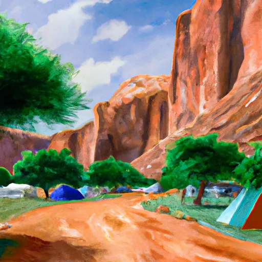
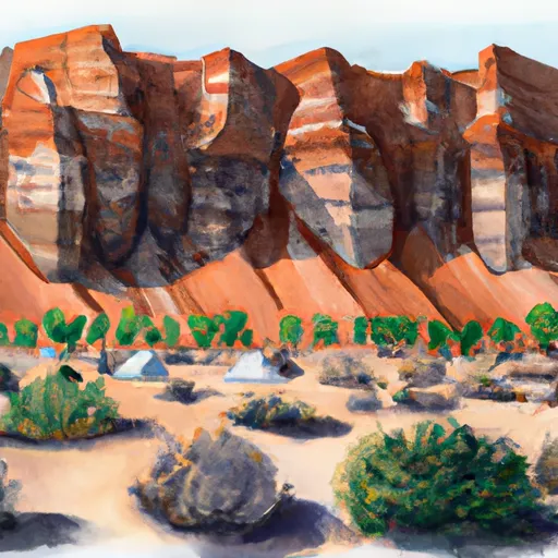
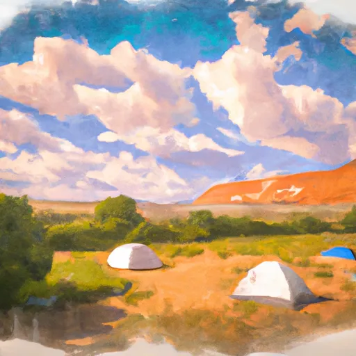
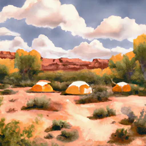
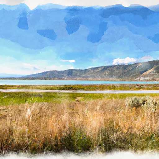
The hydrology in Provo is primarily influenced by the Provo River, which flows through the city and provides a source of irrigation and recreational opportunities. The river is known for its excellent trout fishing, attracting anglers from around the region. Provo is also surrounded by the majestic Wasatch Mountains, offering numerous hiking, biking, and camping opportunities. In the winter, these mountains become a haven for winter sports enthusiasts, with nearby ski resorts providing excellent downhill skiing and snowboarding opportunities.

In addition to the Provo River and the Wasatch Mountains, the city boasts several beautiful parks, including the scenic Provo Canyon, Rock Canyon, and the Provo River Parkway Trail, providing further outdoor recreation options such as picnicking, rock climbing, and bird-watching. Provo's diverse climate and stunning natural surroundings make it a paradise for those seeking outdoor adventures.

What is the Eden Index?

The Snoflo Eden Index serves as a comprehensive rating system for regions, evaluating their desirability through a holistic assessment of climate health, outdoor recreation opportunities, and natural disaster risk, acknowledging the profound impact of these factors on livability and well-being.


Climate Health Indicator (CHI): 9.4


Provo receives approximately 477mm of rain per year, with humidity levels near 63% and air temperatures averaging around 11°C. Provo has a plant hardyness factor of 7, meaning plants and agriculture in this region tend to thrive during the non-winter months. By considering the ideal temperature range, reliable water supplies, clean air, and stable seasonal rain or snowpacks, the Climate Health Indicator (CHI) underscores the significance of a healthy climate as the foundation for quality living.

A healthy climate is paramount for ensuring a high quality of life and livability in a region, fostering both physical well-being and environmental harmony. This can be characterized by ideal temperatures, reliable access to water supplies, clean air, and consistent seasonal rain or snowpacks.


Weather Forecast


Streamflow Conditions

Jordan

Area Rivers

Jordan


Snowpack Depths

Jordan


Reservoir Storage Capacity

Jordan


Groundwater Levels


Recreational Opportunity Index (ROI): 8.3


The Recreational Opportunity Index (ROI) recognizes the value of outdoor recreational options, such as parks, hiking trails, camping sites, and fishing spots, while acknowledging that climate plays a pivotal role in ensuring the comfort and consistency of these experiences. Access to outdoor recreational opportunities, encompassing activities such as parks, hiking, camping, and fishing, is crucial for overall well-being, and the climate plays a pivotal role in enabling and enhancing these experiences, ensuring that individuals can engage in nature-based activities comfortably and consistently.


Camping Areas

Campground Campsites Reservations Toilets Showers Elevation
Canyon View RV Park 25 4,719 ft
Nunns Park None 4,994 ft
Mt. Timpanogos 27 6,985 ft
Spanish Oaks Campground None 5,124 ft
Deer Creek State Park 75 5,565 ft
Blackhawk 15 7,962 ft
Bear Canyon 6 6,631 ft
Maple Bench 10 5,997 ft
Spanish Fork River Park None 4,966 ft
Little Mill 36 6,035 ft
Hope 26 6,669 ft
Granite Flat 52 6,756 ft
Spruces 105 7,363 ft
Ponderosa Uinta 29 6,265 ft
Whiting 13 5,451 ft
Timpooneke 27 7,546 ft
Rock Canyon 4 6,901 ft
Tinney Flat 13 7,063 ft
Tanners Flat 34 7,208 ft
Payson Lakes 113 7,981 ft
Wasatch Mountain State Park 139 5,999 ft
Redman 40 8,318 ft
Cherry 14 5,211 ft
Utah Lake State Park 71 4,491 ft
Warnick 6 6,260 ft
Maple Lake 7 6,422 ft
Albion Basin 18 9,444 ft

Catastrophe Safeguard Index (CSI):


The Catastrophe Safeguard Index (CSI) recognizes that natural disaster risk, encompassing floods, fires, hurricanes, and tornadoes, can drastically affect safety and the overall appeal of an area. The level of natural disaster risk in a region significantly affects safety and the overall livability, with climate change amplifying these risks by potentially increasing the frequency and intensity of events like floods, fires, hurricanes, and tornadoes, thereby posing substantial challenges to community resilience and well-being.


Community Resilience Indicator (CRI): 2.6


The Community Resilience Indicator (CRI) recognizes that education, healthcare, and socioeconomics are crucial to the well-being of a region. The CRI acknowledges the profound impact of these elements on residents' overall quality of life. By evaluating educational resources, healthcare accessibility, and economic inclusivity, the index captures the essential aspects that contribute to a thriving community, fostering resident satisfaction, equity, and social cohesion.


Log Your Visit

When was your last visit to ?

Add a Photo

How was it? How were conditions?

Rate the


Submit

Leave A Review


Submit

Upload an Image


Favorite Limit Reached