Russellville

Climate Recreation Community Catastrophe

Russellville
Eden Index

Climate 8.0 Recreation 5.7 Community 2.4 Safeguard

5.8/10

Located in Pope County, Arkansas, Russellville is a small city with a population of around 30,000 people. It experiences a humid subtropical climate, characterized by hot and humid summers and mild winters. The average high temperature in summer is around 90°F (32°C), while in winter, the average low temperature drops to around 31°F (-1°C). The area receives about 50 inches of rainfall annually.

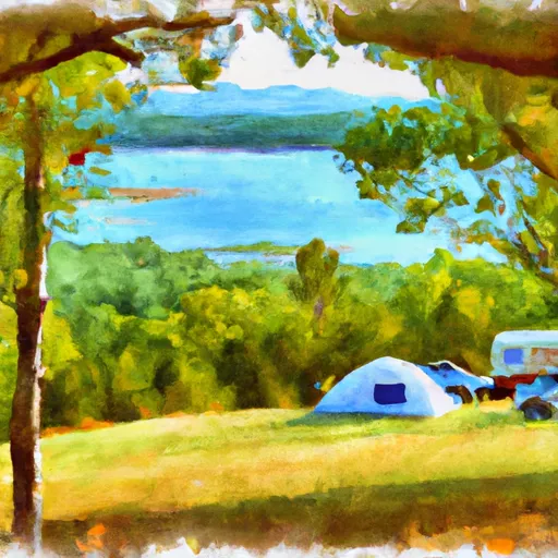
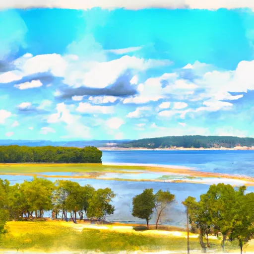
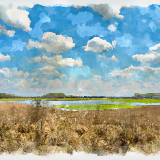
Situated on the Arkansas River, Russellville benefits from its hydrological resources. The river provides opportunities for various water-based activities such as fishing, boating, and kayaking. Lake Dardanelle, a nearby reservoir, offers additional recreational opportunities, including swimming, camping, and bird-watching.

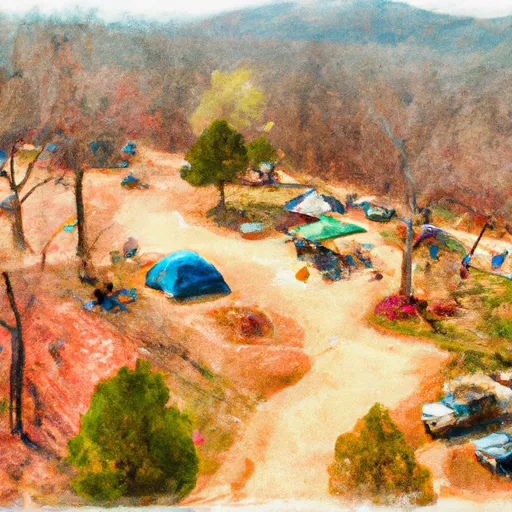
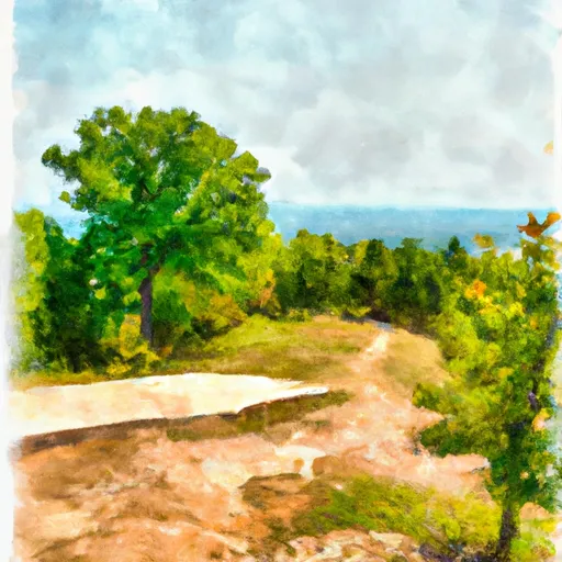
Outdoor enthusiasts can explore the nearby Ozark National Forest, which provides hiking trails, scenic overlooks, and camping facilities. The nearby Mount Nebo State Park also offers breathtaking views, hiking trails, and picnic areas. Additionally, Lake Dardanelle State Park, located adjacent to the city, provides opportunities for camping, fishing, and boating.

In summary, Russellville, Arkansas, offers a humid subtropical climate, access to the Arkansas River and Lake Dardanelle for various water activities, and proximity to the Ozark National Forest and Mount Nebo State Park for outdoor recreation opportunities.

What is the Eden Index?

The Snoflo Eden Index serves as a comprehensive rating system for regions, evaluating their desirability through a holistic assessment of climate health, outdoor recreation opportunities, and natural disaster risk, acknowledging the profound impact of these factors on livability and well-being.


Climate Health Indicator (CHI): 8.0


Russellville receives approximately 1249mm of rain per year, with humidity levels near 89% and air temperatures averaging around 16°C. Russellville has a plant hardyness factor of 7, meaning plants and agriculture in this region tend to thrive during the non-winter months. By considering the ideal temperature range, reliable water supplies, clean air, and stable seasonal rain or snowpacks, the Climate Health Indicator (CHI) underscores the significance of a healthy climate as the foundation for quality living.

A healthy climate is paramount for ensuring a high quality of life and livability in a region, fostering both physical well-being and environmental harmony. This can be characterized by ideal temperatures, reliable access to water supplies, clean air, and consistent seasonal rain or snowpacks.


Weather Forecast


Streamflow Conditions

Lower Arkansas-Fourche La Fave

Area Rivers

Lower Arkansas-Fourche La Fave


Snowpack Depths

Lower Arkansas-Fourche La Fave


Reservoir Storage Capacity

Lower Arkansas-Fourche La Fave


Groundwater Levels


Recreational Opportunity Index (ROI): 5.7


The Recreational Opportunity Index (ROI) recognizes the value of outdoor recreational options, such as parks, hiking trails, camping sites, and fishing spots, while acknowledging that climate plays a pivotal role in ensuring the comfort and consistency of these experiences. Access to outdoor recreational opportunities, encompassing activities such as parks, hiking, camping, and fishing, is crucial for overall well-being, and the climate plays a pivotal role in enabling and enhancing these experiences, ensuring that individuals can engage in nature-based activities comfortably and consistently.


Camping Areas

Campground Campsites Reservations Toilets Showers Elevation
Lake Dardanelle State Park None 344 ft
Riverview - Lake Dardanelle None 363 ft
Shouse Ford - De Gray Lake 99 401 ft
Kisatchie Bayou Complex 30 167 ft
Old Highway 86 - Table Rock Lake None 914 ft
Arlie Moore - De Gray Lake 87 517 ft
Shadow Rock Park None 676 ft
Carver - Buffalo National River None 710 ft
County Line None 359 ft
Edgewood - De Gray Lake 51 409 ft
Rabbit Tail - Lake Ouachita None 652 ft
Oak Camp Complex 23 300 ft
Damsite - Pomme de Terre Lake None 862 ft
Stephens - Lake Ouachita 9 420 ft
Drury-Mincy Conservation Area - MDC 4 976 ft
Carter Cove None 358 ft
Outlet Area - Pomme de Terre Lake None 776 ft
River Run None 701 ft
Pittsburg Park - Pomme de Terre Lake None 871 ft
Bucktail Camp Complex 40 296 ft
Petit Jean State Park None 900 ft
Camp Ridge 91 1,347 ft
Point Cedar - De Gray Lake 62 417 ft
Iron Mountain - De Gray Lake 69 456 ft
Tucker Hollow - Bull Shoals Lake None 697 ft
Erbie - Buffalo National River None 847 ft
Pomme de Terre State Park None 923 ft
Lotus Camp 20 215 ft
Steel Creek - Buffalo National River None 977 ft
Long Pool 77 615 ft
Mount Nebo State Park None 1,404 ft
Lake Ouachita State Park None 759 ft
White Oak Lake State Park None 208 ft
Custis Camp Complex 10 302 ft
Indian Point - Table Rock Lake None 1,040 ft
Cricket Creek None 1,156 ft
Lake Claiborne State Park None 337 ft
Quarry Cove None 372 ft
Logoly State Park None 327 ft
Caddo Drive - De Gray Lake 72 415 ft
River Road None 355 ft
Turtle Slide None 223 ft
Turkey Trot Complex 25 261 ft
Brady Mountain - Lake Ouachita 74 616 ft
Arrow Rock State Park 46 728 ft
Branson City Campground None 704 ft
Gulpha Gorge - Hot Springs National Park 44 540 ft
Cobb Ridge 19 1,360 ft
Buckville - Lake Ouachita None 610 ft
Ozark - Buffalo National River None 865 ft
Red Bluff Camp Complex 10 205 ft
Bayou Bluff 28 634 ft
Lincoln City Park 4 955 ft
Richland Creek 13 1,034 ft
Ozan Point - De Gray Lake 50 422 ft
Cedar Fourche - Lake Ouachita None 587 ft
Piney Bay - Lake Dardanelle None 365 ft
Dogwood Complex 12 174 ft
Lead Hill - Bull Shoals Lake None 678 ft
Cedar Glades Park None 562 ft
Long Creek - Table Rock Lake None 1,001 ft
Lena Landing - Lake Ouachita 10 599 ft
Alpine Ridge - De Gray Lake 49 473 ft
DeGray Lake State Park 113 403 ft
Nemo Landing - Pomme de Terre Lake None 912 ft
Coyote Camp Complex 13 367 ft
Haw Creek Falls 9 791 ft

Catastrophe Safeguard Index (CSI):


The Catastrophe Safeguard Index (CSI) recognizes that natural disaster risk, encompassing floods, fires, hurricanes, and tornadoes, can drastically affect safety and the overall appeal of an area. The level of natural disaster risk in a region significantly affects safety and the overall livability, with climate change amplifying these risks by potentially increasing the frequency and intensity of events like floods, fires, hurricanes, and tornadoes, thereby posing substantial challenges to community resilience and well-being.


Community Resilience Indicator (CRI): 2.4


The Community Resilience Indicator (CRI) recognizes that education, healthcare, and socioeconomics are crucial to the well-being of a region. The CRI acknowledges the profound impact of these elements on residents' overall quality of life. By evaluating educational resources, healthcare accessibility, and economic inclusivity, the index captures the essential aspects that contribute to a thriving community, fostering resident satisfaction, equity, and social cohesion.


Log Your Visit

When was your last visit to ?

Add a Photo

How was it? How were conditions?

Rate the


Submit

Leave A Review


Submit

Upload an Image


Favorite Limit Reached