
Summary
Summers often see temperatures reaching the high 90s°F (around 37°C), while winter temperatures hover around the mid-40s°F (around 7°C). The area experiences moderate precipitation throughout the year, with an average annual rainfall of 41 inches (104 cm). Shawnee is prone to severe weather events such as thunderstorms and occasional tornados.
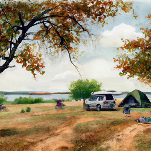
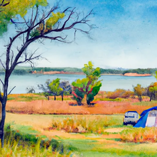
The city lies in close proximity to several water bodies, including the North Canadian River and several small creeks. These hydrological features contribute to a diverse array of outdoor recreation opportunities. Residents and visitors can enjoy fishing, boating, and swimming in nearby lakes such as Shawnee Twin Lakes or Lake Thunderbird. The area also offers opportunities for hiking, camping, and picnicking in parks like Wes Watkins Reservoir State Park and the Jim Thorpe Park. Nature enthusiasts can explore the diverse flora and fauna in the region, making Shawnee a great destination for outdoor activities.
Weather Forecast
Shawnee receives approximately 994mm of rain per year, with humidity levels near 80% and air temperatures averaging around 17°C. Shawnee has a plant hardyness factor of 7, meaning plants and agriculture in this region tend to thrive during the non-winter months.
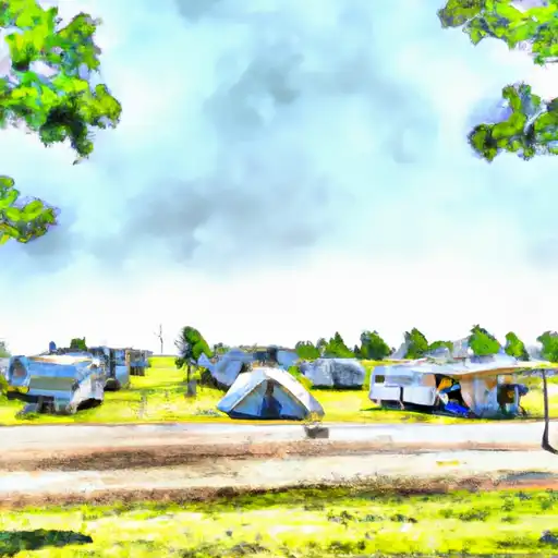
Area Campgrounds
| Location | Reservations | Toilets |
|---|---|---|
 Heart of Oklahoma Exposition Center
|
||
 Shawnee Twin Lakes
|
||
 Meeker Lake
|
||
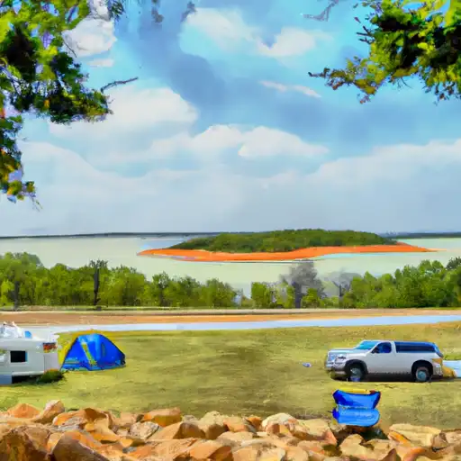 Wes Watkins Reservoir
|
 John Dockery Ball Park
 Larchmiller Park
 Boy Scout Park
 Tecumseh Lake Park
 Alva Melot Baseball Field