
Summary
The city experiences a subtropical climate, characterized by hot, humid summers and mild winters. Average summer temperatures range from 85 to 95°F (29-35°C), while winter temperatures typically range from 40 to 60°F (4-15°C).
Situated along the Red River, Shreveport enjoys access to various hydrology constituents. The river provides a scenic backdrop for outdoor activities like fishing, boating, and kayaking. Additionally, nearby Cross Lake offers opportunities for water sports and fishing.
Outdoor enthusiasts can also explore the expansive Kisatchie National Forest, located just a short drive from Shreveport. This forest offers numerous hiking and biking trails, camping sites, and opportunities for wildlife viewing.
For those who prefer urban outdoor activities, Shreveport provides several parks and green spaces, including Betty Virginia Park and the Walter B. Jacobs Memorial Nature Park. These parks offer walking trails, picnic areas, and nature exhibits for residents and visitors to enjoy.
In conclusion, Shreveport's subtropical climate, access to water bodies, and proximity to natural areas make it an ideal destination for outdoor enthusiasts seeking diverse recreational opportunities.
Weather Forecast
Shreveport receives approximately 1300mm of rain per year, with humidity levels near 87% and air temperatures averaging around 19°C. Shreveport has a plant hardyness factor of 8, meaning plants and agriculture in this region tend to thrive here all year round.
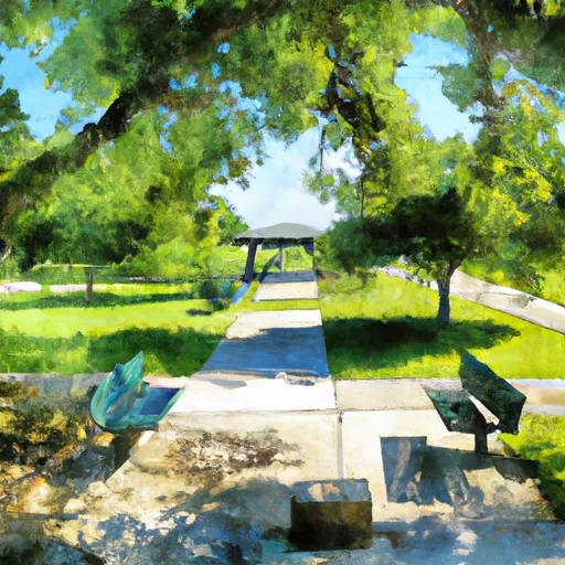
 Swepco Park
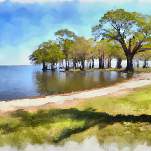
 Andrew Currie Park
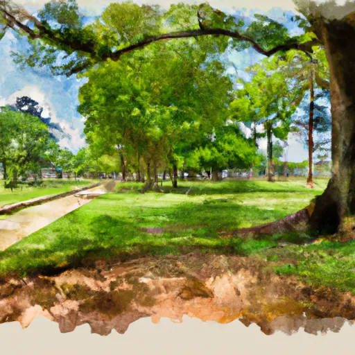
 Anderson Island Park
 Betty Virginia Park
 Caddo Heights Park