Wilson

Climate Recreation Community Catastrophe

Wilson
Eden Index

Climate 6.1 Recreation 5.7 Community 3.7 Safeguard

5.4/10

Wilson, Wyoming is a charming town nestled in the Jackson Hole Valley. 
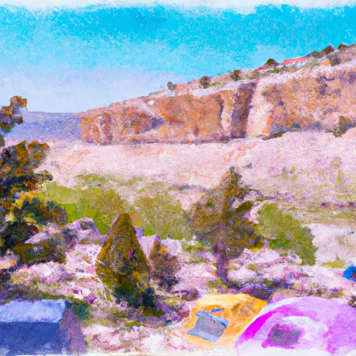
It boasts a breathtaking natural environment with a diverse climate and abundant outdoor recreation opportunities. The climate in Wilson is characterized by warm summers and cold winters, offering a distinct four-season experience. Summers are mild with temperatures averaging around 75°F, making it ideal for hiking, camping, and fishing. Winter brings heavy snowfall, creating a winter wonderland for skiing, snowboarding, and snowshoeing enthusiasts.

Hydrology constituents play a significant role in Wilson's natural beauty. The town is surrounded by pristine rivers, including the Snake River and Gros Ventre River, which provide excellent opportunities for rafting, kayaking, and fly fishing. These waterways are also home to an array of wildlife, such as bald eagles, moose, and trout, adding to the appeal of the area.

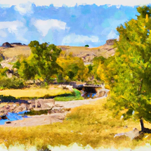
In addition to its climate and hydrology, Wilson offers a range of outdoor recreation opportunities. The nearby Grand Teton National Park and Bridger-Teton National Forest provide numerous trails for hiking and mountain biking, as well as scenic drives and wildlife viewing. Additionally, the Jackson Hole Mountain Resort attracts skiers and snowboarders from around the world with its challenging slopes and breathtaking views. Wilson, Wyoming truly is a haven for nature lovers and outdoor enthusiasts.

What is the Eden Index?

The Snoflo Eden Index serves as a comprehensive rating system for regions, evaluating their desirability through a holistic assessment of climate health, outdoor recreation opportunities, and natural disaster risk, acknowledging the profound impact of these factors on livability and well-being.


Climate Health Indicator (CHI): 6.1


Wilson receives approximately 517mm of rain per year, with humidity levels near 77% and air temperatures averaging around 4°C. Wilson has a plant hardyness factor of 4, meaning plants and agriculture in this region thrive during a short period during spring and early summer. Most plants will die off during the colder winter months.
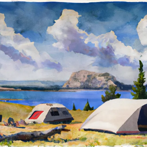
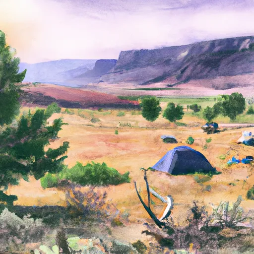
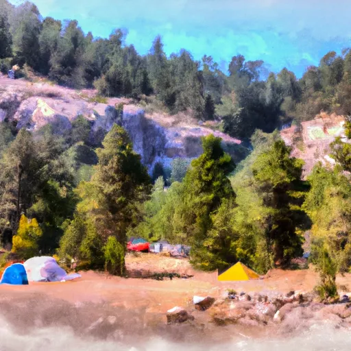
 By considering the ideal temperature range, reliable water supplies, clean air, and stable seasonal rain or snowpacks, the Climate Health Indicator (CHI) underscores the significance of a healthy climate as the foundation for quality living.

A healthy climate is paramount for ensuring a high quality of life and livability in a region, fostering both physical well-being and environmental harmony. This can be characterized by ideal temperatures, reliable access to water supplies, clean air, and consistent seasonal rain or snowpacks.


Weather Forecast


Streamflow Conditions

Snake Headwaters

Area Rivers

Snake Headwaters


Snowpack Depths

Snake Headwaters


Reservoir Storage Capacity

Snake Headwaters


Groundwater Levels


Recreational Opportunity Index (ROI): 5.7


The Recreational Opportunity Index (ROI) recognizes the value of outdoor recreational options, such as parks, hiking trails, camping sites, and fishing spots, while acknowledging that climate plays a pivotal role in ensuring the comfort and consistency of these experiences. Access to outdoor recreational opportunities, encompassing activities such as parks, hiking, camping, and fishing, is crucial for overall well-being, and the climate plays a pivotal role in enabling and enhancing these experiences, ensuring that individuals can engage in nature-based activities comfortably and consistently.


Camping Areas

Campground Campsites Reservations Toilets Showers Elevation
Teton Canyon 22 6,959 ft
Cabin Creek 10 5,850 ft
Curtis Canyon 12 7,049 ft
Reunion Flat 7 6,862 ft
Murphy Creek 10 6,210 ft
Moose Flat 10 6,415 ft
Mike Harris 12 6,564 ft
Gros Ventre - Grand Teton National Park 350 6,572 ft
Elbow 7 5,779 ft
Cave Falls 25 6,151 ft
Station Creek 15 5,813 ft
Jenny Lake - Grand Teton National Park 49 6,816 ft
Alpine 16 5,687 ft
Lizard Creek - Grand Teton National Park 60 6,808 ft
Flagg Ranch - Grand Teton National Park 175 6,810 ft
Trail Creek - Victor 11 6,726 ft
Sheffield 5 6,903 ft
Lynx Creek 10 6,195 ft
East Table Creek 17 5,789 ft

Catastrophe Safeguard Index (CSI):


The Catastrophe Safeguard Index (CSI) recognizes that natural disaster risk, encompassing floods, fires, hurricanes, and tornadoes, can drastically affect safety and the overall appeal of an area. The level of natural disaster risk in a region significantly affects safety and the overall livability, with climate change amplifying these risks by potentially increasing the frequency and intensity of events like floods, fires, hurricanes, and tornadoes, thereby posing substantial challenges to community resilience and well-being.


Community Resilience Indicator (CRI): 3.7


The Community Resilience Indicator (CRI) recognizes that education, healthcare, and socioeconomics are crucial to the well-being of a region. The CRI acknowledges the profound impact of these elements on residents' overall quality of life. By evaluating educational resources, healthcare accessibility, and economic inclusivity, the index captures the essential aspects that contribute to a thriving community, fostering resident satisfaction, equity, and social cohesion.


Log Your Visit

When was your last visit to ?

Add a Photo

How was it? How were conditions?

Rate the


Submit

Leave A Review


Submit

Upload an Image


Favorite Limit Reached