Advertisement

Best boat ramps near Orangevale

24 boat ramps · 24 ranked · updated 2026-10-23 · off-season

Explore the best boat ramps near Orangevale, California — every spot ranked by our conditions-aware Snoflo score: live conditions first, then visitor reviews and logged trips. Click a pin on the map for the score and what's driving it.

Showing the top 15 of 24 boat ramps · best 15 shown on the map
J⛰
Jedediah Smith Memorial Trail, Gold River
#1 Jedediah Smith Memorial Trail, Gold River Good
3.9 mi away
· Low water nearby - ramp may be shallow· Chance Showers and Patchy Fog · 56°F
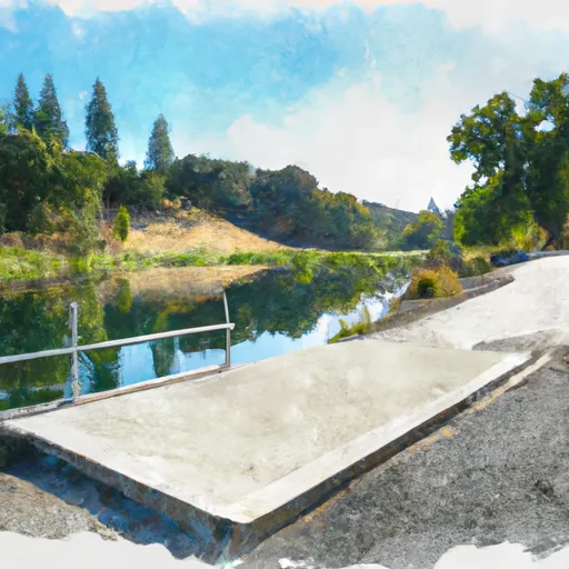
The boat ramp named Jedediah Smith Memorial Trail is located in Gold River, California. It is a concrete boat ramp that provides access to the American River. According to the…
Why 67: live conditions (good)
67Top-rated
P⛰
Pennsylvania Avenue 3885, Fair Oaks
#2 Pennsylvania Avenue 3885, Fair Oaks Good
4.8 mi away
· Low water nearby - ramp may be shallow· Chance Showers and Patchy Fog · 56°F
After conducting research, I was unable to find any information regarding a boat ramp named Pennsylvania Avenue 3885 in Fair Oaks, California. It is possible that the name has…
Why 67: live conditions (good)
67Top-rated
R⛰
Rossmoor Drive Rancho Cordova
#3 Rossmoor Drive Rancho Cordova Good
6.4 mi away
· Low water nearby - ramp may be shallow· Chance Showers and Patchy Fog · 56°F
According to the latest information available, the boat ramp named Rossmoor Drive Rancho Cordova in California is a concrete boat ramp. It is approximately 20 feet wide and…
Why 67: live conditions (good)
67Top-rated
C⛰
California State University at Sacramento Aquatic Center
#4 California State University at Sacramento Aquatic Center Good
3.8 mi away
· Low water nearby - ramp may be shallow · 3 mi away· Chance Showers and Patchy Fog · 56°F
California State University at Sacramento Aquatic Center is a public boat launch on Lake Natoma in Sacramento County, California. Snoflo tracks live launch conditions here from…
Why 62: live conditions (good)
62Solid
W⛰
Willow Creek Boat Ramp
#5 Willow Creek Boat Ramp Good
3.2 mi away
· Low water nearby - ramp may be shallow · 4 mi away· Chance Showers and Patchy Fog · 56°F
The Willow Creek Boat Ramp is located in Sacramento County, California, and is managed by the Sacramento County Department of Regional Parks. This boat ramp provides access to the…
Why 59: live conditions (good)
59Solid
F⛰
Folsom Lake State Recreation Area (Granite Bay)
#6 Folsom Lake State Recreation Area (Granite Bay)
5.7 mi away
Folsom Lake State Recreation Area (Granite Bay) is a public boat launch on Folsom Lake in Placer County, California. Snoflo tracks live launch conditions here from the nearest…
Why 55: public ramp & water access
55Solid
R⛰
River Trail El Dorado County
#7 River Trail El Dorado County Good
17.4 mi away
· Low water nearby - ramp may be shallow · 2 mi away· Showers Likely and Areas Fog · 53°F
The River Trail El Dorado County boat ramp in California is a concrete boat ramp with a single lane. Its width is not specified in available information. The boat ramp services…
Why 55: live conditions (good)
55Solid
S⛰
Sacramento City Marina (North Basin)
#8 Sacramento City Marina (North Basin)
18.4 mi away
Sacramento City Marina (North Basin) is a public boat launch on Sacramento-San Joaquin Delta-Sacramento River in Sacramento County, California. Snoflo tracks live launch…
Why 55: public ramp & water access
55Solid
H⛰
Howe Avenue
#9 Howe Avenue Good
13.5 mi away
· Low water nearby - ramp may be shallow · 9 mi away· Mostly Sunny · 61°F · 6 mph wind
Howe Avenue is a public boat launch on American River in Sacramento County, California. Snoflo tracks live launch conditions here from the nearest streamflow gauge and buoys…
Why 51: live conditions (good)
51Solid
F⛰
Folsom Lake State Recreation Area (Beal's Point)
#10 Folsom Lake State Recreation Area (Beal's Point) Good
3.4 mi away
· Low water nearby - ramp may be shallow · 8 mi away· Chance Showers and Patchy Fog · 56°F
Folsom Lake State Recreation Area (Beal's Point) is a public boat launch on Folsom Lake in Placer County, California. Snoflo tracks live launch conditions here from the nearest…
Why 48: live conditions (good)
48Rated
F⛰
Folsom Lake State Recreation Area
#11 Folsom Lake State Recreation Area Good
4.7 mi away
· Low water nearby - ramp may be shallow · 9 mi away· Chance Showers and Patchy Fog · 56°F
Folsom Lake State Recreation Area is a public boat launch on Folsom Lake in Sacramento County, California. Snoflo tracks live launch conditions here from the nearest streamflow…
Why 48: live conditions (good)
48Rated
F⛰
Folsom Lake Yacht Club
#12 Folsom Lake Yacht Club Good
6.6 mi away
· Low reservoir pool (-1% of normal) - ramps may be exposed· Mostly Sunny · 72°F · 8 mph wind
Folsom Lake Yacht Club is a semi-private boat launch on Folsom Lake in El Dorado County, California. Snoflo tracks live launch conditions here from the nearest streamflow gauge…
Why 48: live conditions (good)
48Rated
H⛰
Harrington Way 950, Carmichael
#13 Harrington Way 950, Carmichael Good
10.0 mi away
· Low water nearby - ramp may be shallow · 5 mi away· Clear · 65°F
Harrington Way 950 in Carmichael, California, provides hand-carry only boat access to the nearby American River. There is no formal boat ramp—no concrete, gravel, or dirt…
Why 48: live conditions (good)
48Rated
L⛰
Lake Washington Sailing Club
#14 Lake Washington Sailing Club
20.0 mi away
Lake Washington Sailing Club is a semi-private boat launch on Sacramento-San Joaquin Delta-Deep Water Channel in Yolo County, California. Snoflo tracks live launch conditions here…
Why 50: public ramp & water access
50Solid
W⛰
Watt Avenue, Sacramento
#15 Watt Avenue, Sacramento Good
12.2 mi away
· Low water nearby - ramp may be shallow · 7 mi away· Clear · 65°F
The boat ramp named Watt Avenue is a popular launch site located in Sacramento, California. It is a concrete ramp that is 30 feet wide, providing ample space for boats of various…
Why 48: live conditions (good)
48Rated

Boat Ramps near Orangevale

The Orangevale area has 24 boat ramps on Snoflo, ranked by live conditions, visitor reviews, and logged trips — so the best, closest options rise to the top.

How we rank the best boat ramps near Orangevale

How are these boat ramps ranked?

Each gets a daily Snoflo score blending live conditions, visitor review ratings, and logged trips. The order reflects what's best right now and re-ranks every day.

How often does it update?

Daily, as new conditions, reviews, and trips arrive — so "best right now" means right now.

What do the numbers on the map mean?

Each pin shows that spot's current Snoflo score; tap it for the breakdown and a link to the full report.

More boat ramps in California