Advertisement

Best boat ramps near Reedsburg

38 boat ramps · 38 ranked · updated 2026-10-20 · off-season

Explore the best boat ramps near Reedsburg, Wisconsin — every spot ranked by our conditions-aware Snoflo score: live conditions first, then visitor reviews and logged trips. Click a pin on the map for the score and what's driving it.

Showing the top 15 of 38 boat ramps · best 15 shown on the map
G⛰
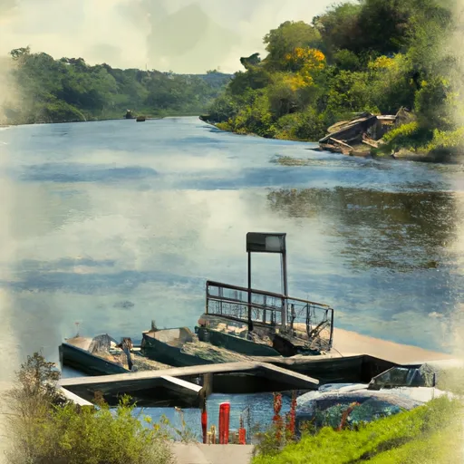
Granite Avenue
#1 Granite Avenue
0.7 mi away
Granite Avenue is a public boat launch on Baraboo River in Sauk County, Wisconsin. Snoflo tracks live launch conditions here from the nearest streamflow gauge and buoys, alongside…
Why 55: public ramp & water access
55Solid
L⛰
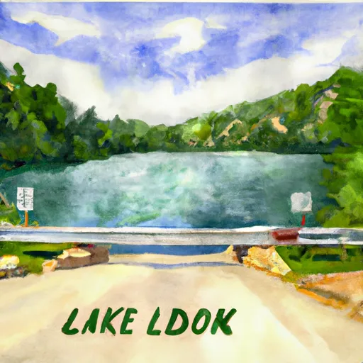
Lake Virginia
#2 Lake Virginia
3.2 mi away
Lake Virginia is a public boat launch on Lake Virginia in Sauk County, Wisconsin. Snoflo tracks live launch conditions here from the nearest streamflow gauge and buoys, alongside…
Why 55: public ramp & water access
55Solid
R⛰
Redstone Fox Court
#3 Redstone Fox Court
5.7 mi away
Redstone Fox Court is a public boat launch on West Branch Big Creek - Lake Redstone in Sauk County, Wisconsin. Snoflo tracks live launch conditions here from the nearest…
Why 55: public ramp & water access
55Solid
L⛰
Lavalle Road
#4 Lavalle Road
7.4 mi away
Lavalle Road is a public boat launch on West Branch Big Creek - Lake Redstone in Sauk County, Wisconsin. Snoflo tracks live launch conditions here from the nearest streamflow…
Why 55: public ramp & water access
55Solid
L⛰
La Valle Mill Pond
#5 La Valle Mill Pond
7.6 mi away
La Valle Mill Pond is a public boat launch on Baraboo River in Sauk County, Wisconsin. Snoflo tracks live launch conditions here from the nearest streamflow gauge and buoys…
Why 55: public ramp & water access
55Solid
I⛰
Indian Trail
#6 Indian Trail Good
13.9 mi away
· Air quality / smoke advisory· Streamflow nearby - Wisconsin River Near Wisconsin Dells· Patchy Smoke · 68°F
Indian Trail is a public boat launch on Wisconsin River in Sauk County, Wisconsin. Snoflo tracks live launch conditions here from the nearest streamflow gauge and buoys, alongside…
Why 55: public ramp & water access
55Solid
D⛰
Devils Lake State Park - North Shore
#7 Devils Lake State Park - North Shore Good
15.5 mi away
· Air quality / smoke advisory· Low reservoir pool (-8% of normal) - ramps may be exposed· Patchy Smoke · 69°F
Devils Lake State Park - North Shore is a public boat launch on Devils Lake in Sauk County, Wisconsin. Snoflo tracks live launch conditions here from the nearest streamflow gauge…
Why 55: public ramp & water access
55Solid
L⛰
Lemonwier Mills
#8 Lemonwier Mills
17.5 mi away
Lemonwier Mills is a public boat launch on Lemonweir River in Juneau County, Wisconsin. Snoflo tracks live launch conditions here from the nearest streamflow gauge and buoys…
Why 55: public ramp & water access
55Solid
L⛰
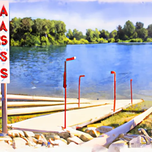
Lake Blass -- Access
#9 Lake Blass -- Access Good
10.5 mi away
· Streamflow nearby - Wisconsin River Near Wisconsin Dells· Cold - 40 F· Mostly Clear · 40°F
Lake Blass – Access (ID: 27481) in Wisconsin offers a basic hand-carry launch suitable for canoes, kayaks, and small boats. There is no developed concrete or gravel ramp, making…
Why 43: live conditions (good)
43Rated
L⛰
Lake Delton -- Canyon Drive
#10 Lake Delton -- Canyon Drive Good
11.4 mi away
· Streamflow nearby - Wisconsin River Near Wisconsin Dells· Cold - 40 F· Mostly Clear · 40°F
The Lake Delton - Canyon Drive boat ramp is located in Wisconsin and provides access to Lake Delton, a man-made lake that covers an area of 256 acres. The boat ramp is made of…
Why 43: live conditions (good)
43Rated
C⛰
County Highway A Lake Delton
#11 County Highway A Lake Delton Good
12.4 mi away
· Streamflow nearby - Wisconsin River Near Wisconsin Dells· Cold - 40 F· Mostly Clear · 40°F
Why 43: live conditions (good)
43Rated
D⛰
Dam Road 11, Lake Delton
#12 Dam Road 11, Lake Delton Good
12.5 mi away
· Streamflow nearby - Wisconsin River Near Wisconsin Dells· Cold - 40 F· Mostly Clear · 40°F
Why 43: live conditions (good)
43Rated
N⛰
Newport Park
#13 Newport Park Good
12.8 mi away
· Streamflow nearby - Wisconsin River Near Wisconsin Dells· Cold - 40 F· Mostly Clear · 40°F
Why 43: live conditions (good)
43Rated
S⛰
Sweetbriar Drive Wisconsin Dells
#14 Sweetbriar Drive Wisconsin Dells Good
12.8 mi away
· Streamflow nearby - Wisconsin River Near Wisconsin Dells· Cold - 40 F· Mostly Clear · 40°F
Why 43: live conditions (good)
43Rated
W⛰
Wisconsin River -- Wisconsin Dells Parking Crandalls Bay
#15 Wisconsin River -- Wisconsin Dells Parking Crandalls Bay Good
13.3 mi away
· Streamflow nearby - Wisconsin River Near Wisconsin Dells· Cold - 40 F· Mostly Clear · 40°F
The Wisconsin River - Wisconsin Dells Parking Crandalls Bay boat ramp is located at latitude 43.63439178 and longitude -89.77268982 in Wisconsin Dells, Wisconsin. This boat ramp…
Why 43: live conditions (good)
43Rated

Boat Ramps near Reedsburg

The Reedsburg area has 38 boat ramps on Snoflo, ranked by live conditions, visitor reviews, and logged trips — so the best, closest options rise to the top.

How we rank the best boat ramps near Reedsburg

How are these boat ramps ranked?

Each gets a daily Snoflo score blending live conditions, visitor review ratings, and logged trips. The order reflects what's best right now and re-ranks every day.

How often does it update?

Daily, as new conditions, reviews, and trips arrive — so "best right now" means right now.

What do the numbers on the map mean?

Each pin shows that spot's current Snoflo score; tap it for the breakdown and a link to the full report.

More boat ramps in Wisconsin