Advertisement

Best boat ramps near Rockville

20 boat ramps · 20 ranked · updated 2026-10-21 · off-season

Explore the best boat ramps near Rockville, Maryland — every spot ranked by our conditions-aware Snoflo score: live conditions first, then visitor reviews and logged trips. Click a pin on the map for the score and what's driving it.

Showing the top 15 of 20 boat ramps · best 15 shown on the map
G⛰
Greenbridge
#1 Greenbridge Good
10.3 mi away
· Air quality / smoke advisory· Streamflow nearby - Patuxent River Below Brighton Dam Near Brighton· Partly Cloudy · 75°F
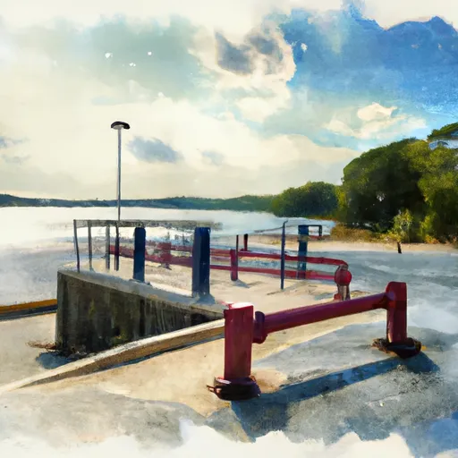
Greenbridge is a public boat launch on Patuxent River - Tridelphia Reservoir in Montgomery County, Maryland. Snoflo tracks live launch conditions here from the nearest streamflow…
Why 55: public ramp & water access
55Solid
T⛰
Tridelphia Lake Recreation Area
#2 Tridelphia Lake Recreation Area Good
11.5 mi away
· Air quality / smoke advisory· Streamflow nearby - Patuxent River Near Unity· Patchy Smoke · 75°F
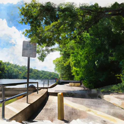
Tridelphia Lake Recreation Area is a public boat launch on Patuxent River - Tridelphia Reservoir in Montgomery County, Maryland. Snoflo tracks live launch conditions here from the…
Why 55: public ramp & water access
55Solid
G⛰
Georgetown Visitor Center
#3 Georgetown Visitor Center
12.8 mi away
Georgetown Visitor Center is a public boat launch on C&O Canal in District of Columbia, District of Columbia. Snoflo tracks live launch conditions here from the nearest streamflow…
Why 55: public ramp & water access
55Solid
S⛰
Scotts Cove
#4 Scotts Cove Good
13.3 mi away
· Air quality / smoke advisory· Streamflow nearby - Patuxent Riv Near Laurel· Partly Cloudy · 77°F · 6 mph wind
Scotts Cove is a public boat launch on Patuxent River - T. Howard Duckett Reservoir in Howard County, Maryland. Snoflo tracks live launch conditions here from the nearest…
Why 55: public ramp & water access
55Solid
B⛰
Bladensburg
#5 Bladensburg Prime
14.5 mi away
· Streamflow nearby - North East Branch Anacostia River At Riverdale· Partly Cloudy · 79°F
Bladensburg is a public boat launch on Anacostia River in Prince George's County, Maryland. Snoflo tracks live launch conditions here from the nearest streamflow gauge and buoys…
Why 55: public ramp & water access
55Solid
C⛰
Capital Cove Marina (Bolling Air Force Base)
#6 Capital Cove Marina (Bolling Air Force Base)
18.0 mi away
Capital Cove Marina (Bolling Air Force Base) is a semi-private boat launch on Potomac River in District of Columbia, District of Columbia. Snoflo tracks live launch conditions…
Why 50: public ramp & water access
50Solid
C⛰
Columbia Island Marina Boat Ramp
#7 Columbia Island Marina Boat Ramp Good
14.9 mi away
· Streamflow nearby - Fourmile Run At Alexandria· Clear · 49°F · 7 mph wind
Columbia Island Marina Boat Ramp is a public boat launch on Potomac River in District of Columbia, District of Columbia. Snoflo tracks live launch conditions here from the nearest…
Why 43: live conditions (good)
43Rated
F⛰
Fletchers Cove
#8 Fletchers Cove Good
11.3 mi away
· Streamflow nearby - Potomac River Near Wash· Clear · 48°F · 6 mph wind
Fletchers Cove is a semi-private boat launch on Potomac River in District of Columbia, District of Columbia. Snoflo tracks live launch conditions here from the nearest streamflow…
Why 42: live conditions (good)
42Rated
S⛰
Supplee Launch
#9 Supplee Launch Good
13.5 mi away
· Streamflow nearby - Patuxent Riv Near Laurel· Clear · 46°F · 7 mph wind
Supplee Launch is a boat ramp located in Maryland, United States. It is situated at a latitude of 39.1241951 and a longitude of -76.88423157. This boat ramp is a concrete ramp…
Why 42: live conditions (good)
42Rated
P⛰
Potomac Hills Street Fairfax County
#10 Potomac Hills Street Fairfax County Good
7.6 mi away
· Streamflow nearby - Difficult Run Near Great Falls· Clear · 46°F · 5 mph wind
The Potomac Hills Street boat ramp in Fairfax County, Virginia is a public boat ramp located on the Potomac River. It is a popular destination for boaters and anglers looking to…
Why 40: live conditions (good)
40Rated
D⛰
Daingerfield Island Sailing Club
#11 Daingerfield Island Sailing Club Good
17.8 mi away
· Streamflow nearby - Fourmile Run At Alexandria· Clear · 49°F · 7 mph wind
Daingerfield Island Sailing Club is a semi-private boat launch on Potomac River in Alexandria city, Virginia. Snoflo tracks live launch conditions here from the nearest streamflow…
Why 42: live conditions (good)
42Rated
R⛰
Rileys Lock Road Darnestown
#12 Rileys Lock Road Darnestown
11.3 mi away
Unfortunately, there is an error in the question. Riley's Lock Road boat ramp is not located in Virginia, but in Maryland. The correct latitude and longitude coordinates are…
Why 40: public ramp & water access
40Rated
C⛰
Clarksburg Road Germantown
#13 Clarksburg Road Germantown
12.2 mi away
Unfortunately, I am unable to provide information on the boat ramp named Clarksburg Road Germantown in Virginia as the coordinates provided are not located in Virginia. The…
Why 40: public ramp & water access
40Rated
A⛰
Anacostia Park Boat Ramp
#14 Anacostia Park Boat Ramp Good
16.3 mi away
· Streamflow nearby - Watts Branch At Washington· Clear · 49°F · 5 mph wind
The Anacostia Park Boat Ramp is a public boat ramp located in the District of Columbia. It is a concrete boat ramp that allows easy access to the Anacostia River. The ramp is…
Why 40: live conditions (good)
40Rated
E⛰
Edwards Ferry Road Montgomery County
#15 Edwards Ferry Road Montgomery County
18.5 mi away
The boat ramp named Edwards Ferry Road in Montgomery County, Maryland is a public boat ramp that provides access to the Potomac River. The ramp is approximately 16 feet wide, and…
Why 40: public ramp & water access
40Rated

Boat Ramps near Rockville

The Rockville area has 20 boat ramps on Snoflo, ranked by live conditions, visitor reviews, and logged trips — so the best, closest options rise to the top.

How we rank the best boat ramps near Rockville

How are these boat ramps ranked?

Each gets a daily Snoflo score blending live conditions, visitor review ratings, and logged trips. The order reflects what's best right now and re-ranks every day.

How often does it update?

Daily, as new conditions, reviews, and trips arrive — so "best right now" means right now.

What do the numbers on the map mean?

Each pin shows that spot's current Snoflo score; tap it for the breakdown and a link to the full report.

More boat ramps in Maryland